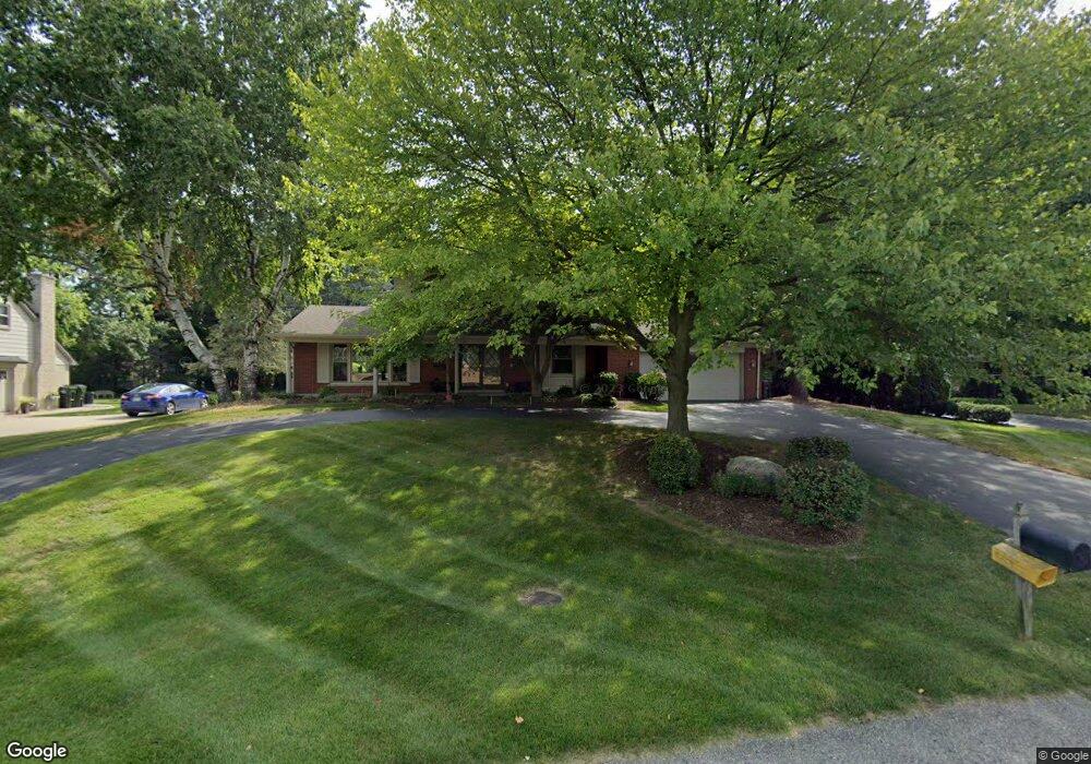
778 Fieldstone Dr Rochester Hills, MI 48309
Estimated Value: $439,572 - $479,000
3
Beds
3
Baths
2,012
Sq Ft
$226/Sq Ft
Est. Value
About This Home
This home is located at 778 Fieldstone Dr, Rochester Hills, MI 48309 and is currently estimated at $455,143, approximately $226 per square foot. 778 Fieldstone Dr is a home located in Oakland County with nearby schools including Long Meadow Elementary School, West Middle School, and Rochester High School.
Ownership History
Date
Name
Owned For
Owner Type
Purchase Details
Closed on
Jul 25, 2020
Sold by
Lafata Anthony J and Lafata Jo Ann
Bought by
Lafata Anthony J and Lafata Jo Aim S
Current Estimated Value
Home Financials for this Owner
Home Financials are based on the most recent Mortgage that was taken out on this home.
Original Mortgage
$135,700
Interest Rate
3.1%
Mortgage Type
New Conventional
Purchase Details
Closed on
Jul 8, 2020
Sold by
Lafata Anthony J and Lafata Jo Ann
Bought by
Lafata Anthony J and Lafata Ann S
Home Financials for this Owner
Home Financials are based on the most recent Mortgage that was taken out on this home.
Original Mortgage
$135,700
Interest Rate
3.1%
Mortgage Type
New Conventional
Purchase Details
Closed on
Feb 12, 2014
Sold by
Lafata Anthony J and Lafata Jo Ann S
Bought by
Lafata Anthony J and Joint Jo Ann S Lafata
Create a Home Valuation Report for This Property
The Home Valuation Report is an in-depth analysis detailing your home's value as well as a comparison with similar homes in the area
Home Values in the Area
Average Home Value in this Area
Purchase History
| Date | Buyer | Sale Price | Title Company |
|---|---|---|---|
| Lafata Anthony J | -- | Amrock Inc | |
| Lafata Anthony J | -- | Amrock Inc | |
| Lafata Anthony J | -- | None Available |
Source: Public Records
Mortgage History
| Date | Status | Borrower | Loan Amount |
|---|---|---|---|
| Closed | Lafata Anthony J | $135,700 |
Source: Public Records
Tax History Compared to Growth
Tax History
| Year | Tax Paid | Tax Assessment Tax Assessment Total Assessment is a certain percentage of the fair market value that is determined by local assessors to be the total taxable value of land and additions on the property. | Land | Improvement |
|---|---|---|---|---|
| 2022 | $1,745 | $158,130 | $0 | $0 |
| 2018 | $2,890 | $135,510 | $0 | $0 |
| 2017 | $2,834 | $131,670 | $0 | $0 |
| 2015 | -- | $108,430 | $0 | $0 |
| 2014 | -- | $98,200 | $0 | $0 |
| 2011 | -- | $81,290 | $0 | $0 |
Source: Public Records
Map
Nearby Homes
- 1536 Royal Crescent St
- 1390 Chestnut Ln
- 184 Shagbark Dr
- 2452 Lassiter Dr
- 448 Streamview Ct
- 73 Nevada Ave
- 1083 N Livernois Rd
- 1665 Huntington Park Unit E
- 2222 Walton Blvd
- 842 Timberline Dr
- 2247 Walton Blvd Unit 46
- 2245 Walton Blvd Unit 58
- 1515 Chevy Circuit
- 2377 Walton Blvd Unit 15
- 100 Longford Dr
- 51 Manor Way Unit 30
- 126 Orchardale Dr
- 123 Longford Dr
- 1811 Blue Grass Dr
- 65 Stratford Ln
- 784 Fieldstone Dr
- 770 Fieldstone Dr
- 807 Ironstone Dr
- 779 Fieldstone Dr
- 789 Ironstone Dr
- 808 Fieldstone Dr
- 821 Ironstone Dr
- 771 Fieldstone Dr
- 787 Fieldstone Dr
- 761 Ironstone Dr
- 837 Ironstone Dr
- 820 Fieldstone Dr
- 763 Fieldstone Dr
- 809 Fieldstone Dr
- 855 Ironstone Dr
- 817 Fieldstone Dr
- 800 Ironstone Dr
- 828 Fieldstone Dr
- 786 Ironstone Dr
- 814 Ironstone Dr