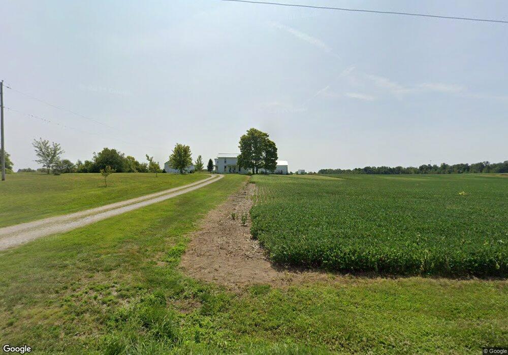
778 Foos Rd West Manchester, OH 45382
Estimated Value: $181,000 - $846,754
4
Beds
1
Bath
1,844
Sq Ft
$279/Sq Ft
Est. Value
About This Home
This home is located at 778 Foos Rd, West Manchester, OH 45382 and is currently estimated at $513,877, approximately $278 per square foot. 778 Foos Rd is a home located in Preble County with nearby schools including National Trail Elementary School, National Trail Middle School, and National Trail High School.
Ownership History
Date
Name
Owned For
Owner Type
Purchase Details
Closed on
Jun 21, 2009
Sold by
Parke Jane Fitzwater and Preuninger Julie Fitzwater
Bought by
Bowers Brad
Current Estimated Value
Purchase Details
Closed on
Apr 1, 2009
Sold by
Foos Road Farms Llp
Bought by
Foos Road Farms Llp
Create a Home Valuation Report for This Property
The Home Valuation Report is an in-depth analysis detailing your home's value as well as a comparison with similar homes in the area
Home Values in the Area
Average Home Value in this Area
Purchase History
| Date | Buyer | Sale Price | Title Company |
|---|---|---|---|
| Bowers Brad | -- | Attorney | |
| Foos Road Farms Llp | -- | Attorney |
Source: Public Records
Mortgage History
| Date | Status | Borrower | Loan Amount |
|---|---|---|---|
| Closed | Bowers Brad | $0 |
Source: Public Records
Tax History Compared to Growth
Tax History
| Year | Tax Paid | Tax Assessment Tax Assessment Total Assessment is a certain percentage of the fair market value that is determined by local assessors to be the total taxable value of land and additions on the property. | Land | Improvement |
|---|---|---|---|---|
| 2024 | $3,760 | $233,820 | $203,790 | $30,030 |
| 2023 | $3,760 | $233,820 | $203,790 | $30,030 |
| 2022 | $2,508 | $61,010 | $40,530 | $20,480 |
| 2021 | $2,642 | $187,570 | $167,090 | $20,480 |
| 2020 | $2,445 | $187,570 | $167,090 | $20,480 |
| 2019 | $3,315 | $180,130 | $159,130 | $21,000 |
| 2018 | $3,265 | $180,130 | $159,130 | $21,000 |
| 2017 | $3,294 | $180,130 | $159,130 | $21,000 |
| 2016 | $3,621 | $150,810 | $133,550 | $17,260 |
| 2014 | $2,080 | $150,750 | $133,490 | $17,260 |
| 2013 | $2,080 | $123,550 | $106,295 | $17,255 |
Source: Public Records
Map
Nearby Homes
- 0 W US 40
- 8486 Us Route 127
- 230 Stephens Rd
- 383 Georgetown Verona Rd
- 0 E Scott Unit 942470
- 2294 U S 40
- 792 W Holtzmuller Rd
- 2892 Swishers Mill Rd
- 210 N Main St
- 501 N Maple St
- 7337 E Lock Rd
- 9923 Euphemia Castine Rd
- 3608 E 40 Us
- 3919 Spacht Rd
- 246 N Main St
- 101 Northcreek Dr
- 3571 N 127
- 5380 Shields Rd
- 300 Ackton St
- 216 Ackton St
- 686 Foos Rd
- 529 Foos Rd
- 1060 Foos Rd
- 386 Foos Rd
- 2153 Foos Rd
- 1153 Foos Rd
- 297 Foos Rd Unit RDA
- 244 Foos Rd
- 8044 Monroe Central Rd
- 8548 Monroe Central Rd
- 195 Foos Rd
- 105 Foos Rd
- 8578 Monroe Central Rd
- 0 Mnro Cntrl Rd Unit 556932
- 155 Foos Rd
- 8980 Hendrickson Rd
- 135 Foos Rd
- 617 Us Route 40 E
- 95 Foos Rd
- 75 Foos Rd