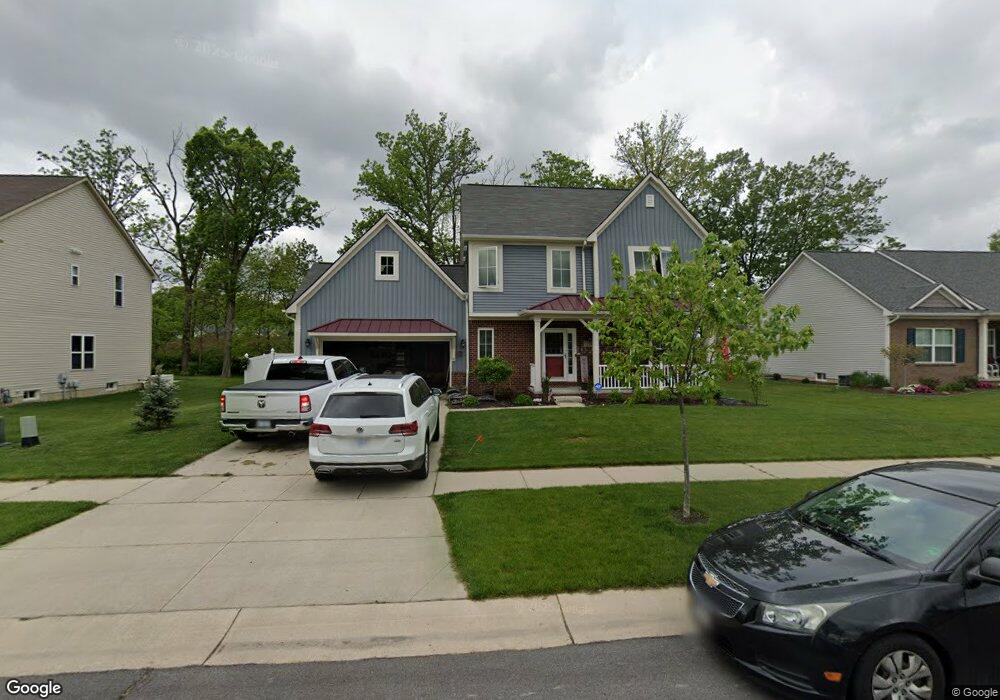
778 Forest Ln Unit Bldg-Unit Dundee, MI 48131
Estimated Value: $344,867 - $385,000
Studio
3
Baths
--
Sq Ft
--
Built
About This Home
This home is located at 778 Forest Ln Unit Bldg-Unit, Dundee, MI 48131 and is currently estimated at $363,467. 778 Forest Ln Unit Bldg-Unit is a home located in Monroe County with nearby schools including Dundee Middle School, Dundee Elementary School, and Dundee Community High School.
Ownership History
Date
Name
Owned For
Owner Type
Purchase Details
Closed on
Aug 20, 2020
Sold by
Brockie Andrew T and Brockie Amanda
Bought by
Vance Dylan
Current Estimated Value
Home Financials for this Owner
Home Financials are based on the most recent Mortgage that was taken out on this home.
Original Mortgage
$260,000
Outstanding Balance
$230,119
Interest Rate
3%
Mortgage Type
VA
Estimated Equity
$133,348
Purchase Details
Closed on
Mar 16, 2018
Sold by
Tanglewood Condominiums Llc
Bought by
Brockie Andrew T and Brockie Amanda
Create a Home Valuation Report for This Property
The Home Valuation Report is an in-depth analysis detailing your home's value as well as a comparison with similar homes in the area
Home Values in the Area
Average Home Value in this Area
Purchase History
| Date | Buyer | Sale Price | Title Company |
|---|---|---|---|
| Vance Dylan | $260,000 | Taylor Michelle J | |
| Brockie Andrew T | $223,500 | Ata National Title |
Source: Public Records
Mortgage History
| Date | Status | Borrower | Loan Amount |
|---|---|---|---|
| Open | Vance Dylan | $260,000 |
Source: Public Records
Tax History
| Year | Tax Paid | Tax Assessment Tax Assessment Total Assessment is a certain percentage of the fair market value that is determined by local assessors to be the total taxable value of land and additions on the property. | Land | Improvement |
|---|---|---|---|---|
| 2025 | -- | $162,790 | $162,790 | $0 |
| 2024 | $10 | $157,160 | $0 | $0 |
| 2023 | $1,430 | $126,230 | $0 | $0 |
| 2022 | $2,479 | $126,230 | $0 | $0 |
| 2021 | $4,520 | $115,850 | $0 | $0 |
| 2020 | $4,894 | $123,140 | $0 | $0 |
| 2019 | $2,551 | $123,140 | $0 | $0 |
| 2018 | $1,912 | $10,250 | $0 | $0 |
| 2017 | $257 | $10,250 | $0 | $0 |
| 2016 | $210 | $10,250 | $0 | $0 |
| 2015 | $209 | $9,230 | $0 | $0 |
| 2014 | $249 | $9,230 | $0 | $0 |
| 2013 | $194 | $9,230 | $0 | $0 |
Source: Public Records
Map
Nearby Homes
- 835 Henning St
- 850 Henning St
- 835 Golf Ridge Cir
- 439 E Monroe St
- 190 Sidney St
- 13493 Dixon Rd
- 365 Sidney St
- 671 Elk Ridge Dr
- 1353 W Lloyd Rd
- 535 Falcon Dr
- 301 White Owl Ln Unit 236
- 240 Ypsilanti St
- 264 Ypsilanti St
- 626 Plank St
- 504 Brooks Hollow Ct
- 150 Waterstradt Commerce Dr
- 512 Brooks Hollow Ct
- 469 Corinth
- 217 Potterstone Dr
- 454 Tecumseh St
- 778 Forest Ln
- 782 Forest Ln
- 774 Forest Ln
- 779 Forest Ln
- 770 Forest Ln
- 826 Bradford Dr
- 827 Henning St
- 766 Forest Ln
- 830 Bradford Dr Unit Bldg-Unit
- 830 Bradford Dr
- 818 Henning St
- 775 Chase Hanna St Unit 19
- 822 Henning St
- 831 Henning St
- 825 Bradford Dr
- 778 Chase Hanna St
- 774 Chase Hanna St
- 826 Henning St
- 782 Chase Hanna St
- 829 Bradford Dr
Your Personal Tour Guide
Ask me questions while you tour the home.