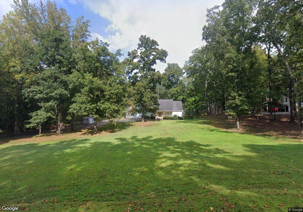
778 Ringer Rd Carrollton, GA 30116
Estimated Value: $313,000 - $486,000
3
Beds
3
Baths
2,144
Sq Ft
$198/Sq Ft
Est. Value
About This Home
This home is located at 778 Ringer Rd, Carrollton, GA 30116 and is currently estimated at $423,946, approximately $197 per square foot. 778 Ringer Rd is a home located in Carroll County with nearby schools including Roopville Elementary School, Central Middle School, and Central High School.
Ownership History
Date
Name
Owned For
Owner Type
Purchase Details
Closed on
Sep 13, 2022
Sold by
Hutcheson Daniel W
Bought by
Longview Capital Llc
Current Estimated Value
Purchase Details
Closed on
Feb 3, 2000
Sold by
Hutcheson Daniel W
Bought by
Hutcheson Daniel W
Purchase Details
Closed on
Jun 11, 1999
Sold by
Wilkinson Radney
Bought by
Hutcheson Daniel W
Create a Home Valuation Report for This Property
The Home Valuation Report is an in-depth analysis detailing your home's value as well as a comparison with similar homes in the area
Home Values in the Area
Average Home Value in this Area
Purchase History
| Date | Buyer | Sale Price | Title Company |
|---|---|---|---|
| Longview Capital Llc | -- | -- | |
| Hutcheson Daniel W | -- | -- | |
| Hutcheson Daniel W | $23,000 | -- |
Source: Public Records
Tax History
| Year | Tax Paid | Tax Assessment Tax Assessment Total Assessment is a certain percentage of the fair market value that is determined by local assessors to be the total taxable value of land and additions on the property. | Land | Improvement |
|---|---|---|---|---|
| 2025 | $3,427 | $186,643 | $23,892 | $162,751 |
| 2024 | $3,465 | $186,643 | $23,892 | $162,751 |
| 2023 | $3,465 | $169,761 | $19,114 | $150,647 |
| 2022 | $2,755 | $129,503 | $8,507 | $120,996 |
| 2021 | $2,542 | $113,972 | $6,806 | $107,166 |
| 2020 | $2,254 | $97,818 | $6,187 | $91,631 |
| 2019 | $1,654 | $71,982 | $6,187 | $65,795 |
| 2018 | $1,508 | $62,688 | $5,782 | $56,906 |
| 2017 | $1,512 | $62,688 | $5,782 | $56,906 |
| 2016 | $1,513 | $62,688 | $5,782 | $56,906 |
| 2015 | $1,519 | $58,311 | $9,041 | $49,270 |
| 2014 | $1,525 | $58,312 | $9,041 | $49,270 |
Source: Public Records
Map
Nearby Homes
- 00 Ringer Rd
- 0 Ringer Rd Unit 10595950
- 0 Bonner Goldmine Rd Unit 10433818
- 0 Lowell Rd Unit 10640679
- 1170 Lowell Rd
- 500 Coleman Mill Rd
- 1788 Star Point Rd
- 221 Valley Ridge Dr
- 191 Tumlin Creek Rd
- 0 Louise Ln Unit 10563364
- 1915 Whooping Creek Church Rd
- 195 Gold Dust Trail
- 1911 Star Point Rd
- 2018 Star Point Rd
- 156 Mclendon Cir
- 1512 Whooping Creek Church Rd
- 1837 Whooping Creek Rd
- 1502 Whooping Creek Church Rd
- 1430 Whooping Creek Church Rd
- 2237 Clem Lowell Rd
- 798 Ringer Rd
- 775 Ringer Rd
- 101 Southbend Dr
- 403 Hester Rd
- 800 Ringer Rd
- 834 Ringer Rd
- 800 Ringer Rd
- 100 Southbend Dr
- 396 Hester Rd
- 386 Hester Rd
- 105 Southbend Dr
- 105 Southbend Dr
- 672 Ringer Rd
- 0 Southbend Dr Unit 3262181
- 675 Ringer Rd
- 118 Southbend Dr
- 653 Ringer Rd
- 668 Ringer Rd
- 886 Ringer Rd
- 113 Southbend Dr
Your Personal Tour Guide
Ask me questions while you tour the home.