Estimated Value: $988,277 - $1,353,000
4
Beds
2
Baths
2,224
Sq Ft
$538/Sq Ft
Est. Value
About This Home
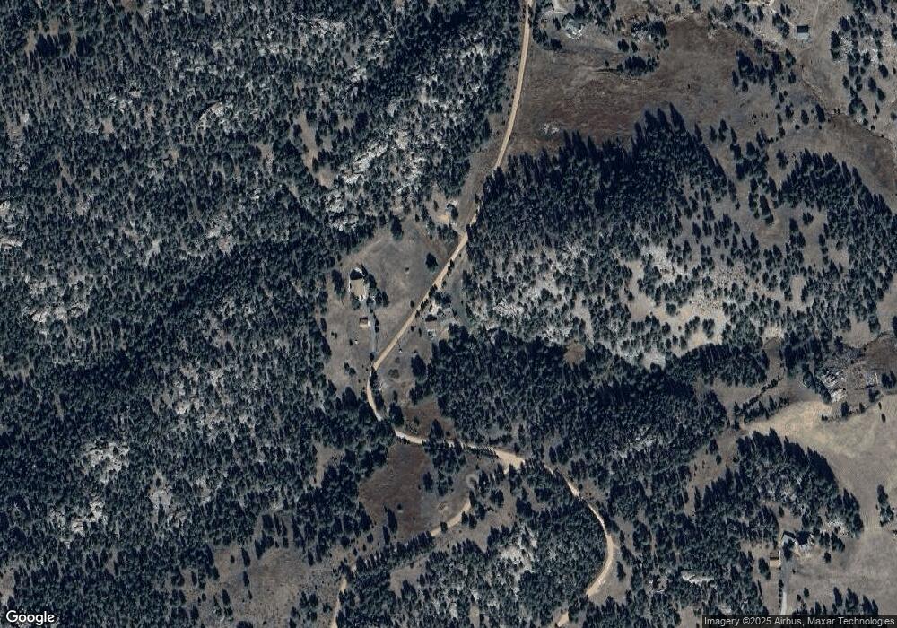
This home is located at 778 Rowell Dr, Lyons, CO 80540 and is currently estimated at $1,197,319, approximately $538 per square foot. 778 Rowell Dr is a home located in Larimer County with nearby schools including Lyons Elementary School and Lyons Middle/Senior High School.
Ownership History
Date
Name
Owned For
Owner Type
Purchase Details
Closed on
Feb 4, 1998
Sold by
Turf Christopher M and Caplan Jennifer L
Bought by
Turf Christopher M and Turf Jennifer L
Current Estimated Value
Home Financials for this Owner
Home Financials are based on the most recent Mortgage that was taken out on this home.
Original Mortgage
$227,150
Outstanding Balance
$40,283
Interest Rate
7.02%
Estimated Equity
$1,157,036
Purchase Details
Closed on
Sep 17, 1996
Sold by
Staples Obern E
Bought by
Turf Christopher M and Caplan Jennifer L
Home Financials for this Owner
Home Financials are based on the most recent Mortgage that was taken out on this home.
Original Mortgage
$235,200
Interest Rate
7.9%
Purchase Details
Closed on
Apr 1, 1992
Sold by
Ryan Patricia B
Bought by
Staples Leeann
Create a Home Valuation Report for This Property
The Home Valuation Report is an in-depth analysis detailing your home's value as well as a comparison with similar homes in the area
Purchase History
| Date | Buyer | Sale Price | Title Company |
|---|---|---|---|
| Turf Christopher M | -- | Land Title | |
| Turf Christopher M | $294,000 | First American Heritage Titl | |
| Staples Leeann | $99,000 | -- |
Source: Public Records
Mortgage History
| Date | Status | Borrower | Loan Amount |
|---|---|---|---|
| Open | Turf Christopher M | $227,150 | |
| Closed | Turf Christopher M | $235,200 |
Source: Public Records
Tax History Compared to Growth
Tax History
| Year | Tax Paid | Tax Assessment Tax Assessment Total Assessment is a certain percentage of the fair market value that is determined by local assessors to be the total taxable value of land and additions on the property. | Land | Improvement |
|---|---|---|---|---|
| 2025 | $6,170 | $63,623 | $19,296 | $44,327 |
| 2024 | $6,113 | $63,623 | $19,296 | $44,327 |
| 2022 | $5,670 | $55,315 | $14,692 | $40,623 |
| 2021 | $5,642 | $56,907 | $15,115 | $41,792 |
| 2020 | $4,648 | $47,055 | $12,513 | $34,542 |
| 2019 | $4,669 | $47,055 | $12,513 | $34,542 |
| 2018 | $4,115 | $41,587 | $10,800 | $30,787 |
| 2017 | $4,090 | $41,587 | $10,800 | $30,787 |
| 2016 | $4,142 | $41,687 | $11,940 | $29,747 |
Source: Public Records
Map
Nearby Homes
- 3665 Colard Ln
- 180 Valley View Ln
- 181 Deer Ln
- 321 May Ave
- 123 Mohawk Rd
- 255 Apache
- 1289 Kiowa Rd
- 40 Hopi Ct
- 187 Wichita Rd
- 287 Wichita Rd
- 270 Choctaw Rd
- 458 Longmont Dam Rd
- 11042 N Saint Vrain Dr
- 1669 Apple Valley Rd
- 1190 Lonestar Rd
- 108 Lonestar Rd
- 1312 Steamboat Valley Rd
- 1570 County Road 37e
- 1165 Stagecoach Trail
- 702 Ponderosa Hill Rd
