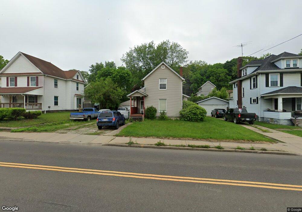
778 Wooster Rd N Barberton, OH 44203
North Barberton NeighborhoodEstimated Value: $117,501 - $165,000
3
Beds
1
Bath
1,276
Sq Ft
$109/Sq Ft
Est. Value
About This Home
This home is located at 778 Wooster Rd N, Barberton, OH 44203 and is currently estimated at $139,625, approximately $109 per square foot. 778 Wooster Rd N is a home located in Summit County with nearby schools including Barberton Middle School, Barberton Intermediate School 3-5, and Barberton High School.
Ownership History
Date
Name
Owned For
Owner Type
Purchase Details
Closed on
Oct 1, 2002
Sold by
Carnifax Paul E
Bought by
Wallace Charlene R
Current Estimated Value
Home Financials for this Owner
Home Financials are based on the most recent Mortgage that was taken out on this home.
Original Mortgage
$50,550
Outstanding Balance
$22,150
Interest Rate
6.78%
Estimated Equity
$117,475
Create a Home Valuation Report for This Property
The Home Valuation Report is an in-depth analysis detailing your home's value as well as a comparison with similar homes in the area
Home Values in the Area
Average Home Value in this Area
Purchase History
| Date | Buyer | Sale Price | Title Company |
|---|---|---|---|
| Wallace Charlene R | $67,400 | Midland Commerce Group Fairl |
Source: Public Records
Mortgage History
| Date | Status | Borrower | Loan Amount |
|---|---|---|---|
| Open | Wallace Charlene R | $50,550 |
Source: Public Records
Tax History Compared to Growth
Tax History
| Year | Tax Paid | Tax Assessment Tax Assessment Total Assessment is a certain percentage of the fair market value that is determined by local assessors to be the total taxable value of land and additions on the property. | Land | Improvement |
|---|---|---|---|---|
| 2025 | $1,150 | $32,085 | $9,177 | $22,908 |
| 2024 | $1,150 | $32,085 | $9,177 | $22,908 |
| 2023 | $1,150 | $32,085 | $9,177 | $22,908 |
| 2022 | $735 | $21,427 | $5,999 | $15,428 |
| 2021 | $734 | $21,427 | $5,999 | $15,428 |
| 2020 | $719 | $21,430 | $6,000 | $15,430 |
| 2019 | $500 | $16,710 | $5,280 | $11,430 |
| 2018 | $492 | $16,710 | $5,280 | $11,430 |
| 2017 | $1,037 | $16,710 | $5,280 | $11,430 |
| 2016 | $499 | $16,710 | $5,280 | $11,430 |
| 2015 | $1,037 | $16,710 | $5,280 | $11,430 |
| 2014 | $1,031 | $16,710 | $5,280 | $11,430 |
| 2013 | $1,052 | $17,670 | $5,280 | $12,390 |
Source: Public Records
Map
Nearby Homes
- 0 Wooster Rd N
- 714 Orchard Ave
- 613 Wooster Rd N
- 217 W Summit St
- 30 W Hiram St
- 485 Lloyd St
- 526 Wooster Rd N
- 409 Franklin Ave
- 197 W State St Unit 182
- 536 Yale Ave
- 437 Erie St
- 332 Lincoln Ave
- 0 Romig Ave
- 213 Hermann St
- 274 E State St
- 76 Hazelwood Ave
- 611 Franklin Ave
- 349 E Hopocan Ave
- 117 Fernwood Ave
- 46 Brown St
- 770 Wooster Rd N
- 784 Wooster Rd N
- 770 Wooster Rd N
- 40 W Summit St
- 766 Wooster Rd N
- 48 W Summit St
- 36 W Summit St
- 775 779 Wooster Rd
- 775 Wooster Rd
- 54 W Summit St
- 574 Burt St
- 32 W Summit St
- 760 Wooster Rd N
- 58 W Summit St
- 62 W Summit St
- 62 W Summit St
- 580 Burt St
- 791 Wooster Rd N
- 66 W Summit St
- 754 Wooster Rd N