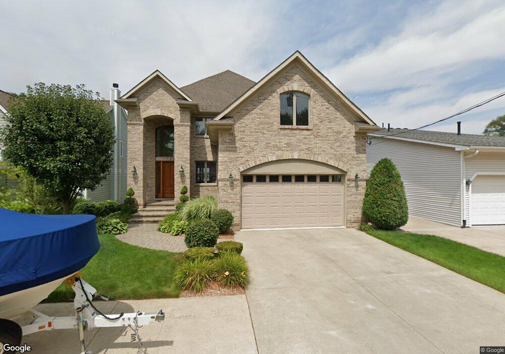
7780 Barnsbury Dr West Bloomfield, MI 48324
Estimated Value: $284,000 - $1,815,000
3
Beds
4
Baths
3,085
Sq Ft
$353/Sq Ft
Est. Value
About This Home
This home is located at 7780 Barnsbury Dr, West Bloomfield, MI 48324 and is currently estimated at $1,090,002, approximately $353 per square foot. 7780 Barnsbury Dr is a home located in Oakland County with nearby schools including Clifford H. Smart Middle School, Walled Lake Northern High School, and Our Lady Of Refuge School.
Ownership History
Date
Name
Owned For
Owner Type
Purchase Details
Closed on
Jan 5, 2011
Sold by
Harlow Dean and Harlow Laurie
Bought by
Harlow Dean P and Dean P Harlow Trust #1
Current Estimated Value
Purchase Details
Closed on
Jun 1, 2000
Sold by
Maila Yaker Tr
Bought by
Harlow Dean
Home Financials for this Owner
Home Financials are based on the most recent Mortgage that was taken out on this home.
Original Mortgage
$242,400
Outstanding Balance
$87,524
Interest Rate
8.56%
Estimated Equity
$1,002,478
Purchase Details
Closed on
May 22, 1998
Sold by
Yakar Daniel
Bought by
Maila Yakar Tr
Create a Home Valuation Report for This Property
The Home Valuation Report is an in-depth analysis detailing your home's value as well as a comparison with similar homes in the area
Home Values in the Area
Average Home Value in this Area
Purchase History
| Date | Buyer | Sale Price | Title Company |
|---|---|---|---|
| Harlow Dean P | -- | None Available | |
| Harlow Dean | $305,000 | -- | |
| Maila Yakar Tr | -- | -- |
Source: Public Records
Mortgage History
| Date | Status | Borrower | Loan Amount |
|---|---|---|---|
| Open | Harlow Dean | $242,400 |
Source: Public Records
Tax History Compared to Growth
Tax History
| Year | Tax Paid | Tax Assessment Tax Assessment Total Assessment is a certain percentage of the fair market value that is determined by local assessors to be the total taxable value of land and additions on the property. | Land | Improvement |
|---|---|---|---|---|
| 2024 | $7,662 | $678,000 | $0 | $0 |
| 2022 | $7,224 | $627,330 | $159,740 | $467,590 |
| 2021 | $11,930 | $597,030 | $0 | $0 |
| 2020 | $7,139 | $563,620 | $159,740 | $403,880 |
| 2018 | $11,612 | $544,570 | $133,110 | $411,460 |
| 2015 | -- | $437,820 | $0 | $0 |
| 2014 | -- | $364,090 | $0 | $0 |
| 2011 | -- | $298,020 | $0 | $0 |
Source: Public Records
Map
Nearby Homes
- 2498 Sunset Terrace Ln
- 2484 Horace St
- 2841 Treyburn Ln
- 7260 Willow Oak Dr
- 0 Massena Ave
- VAC Massena Ave
- 7607 Mapleton Ct
- 7240 Aaronway Dr
- 2946 Greenlawn Ave
- 7543 Greenway Ln
- 1990 Union Lake Rd
- 7185 Aaronway Dr
- 8541 Joseph St
- Richfield Plan at Rosewood - Detached Ranch Condos
- 8511 Joseph St
- 1869 Union Lake Rd
- 3115 Westacres Dr
- 8470 Wise Rd
- 8636 War Bonnet Dr
- 8650 Buffalo Dr
- 7770 Barnsbury Dr
- 7790 Barnsbury Dr
- 7760 Barnsbury Dr
- 7783 Barnsbury Dr
- 7750 Barnsbury Dr
- 7765 Barnsbury Dr
- 7810 Barnsbury Rd
- 7820 Barnsbury Rd
- 2419 Gillham Ave
- 7741 Barnsbury Dr
- 2431 Gillham Ave
- 2400 Gillham Ave
- 7830 Barnsbury Rd
- 2410 Gillham Ave
- 7720 Barnsbury Dr
- 7840 Barnsbury Rd
- 7745 Barnsbury Dr
- 2420 Gillham Ave
- 2466 Sunset Terrace Ln
- 2435 Sunset Terrace Ln Unit Bldg-Unit