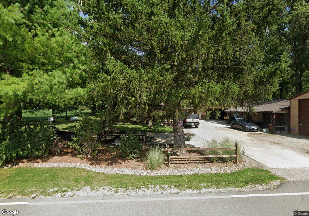
7780 N Section Line Rd Radnor, OH 43066
Marlboro NeighborhoodEstimated Value: $334,507 - $425,000
3
Beds
2
Baths
2,110
Sq Ft
$181/Sq Ft
Est. Value
About This Home
This home is located at 7780 N Section Line Rd, Radnor, OH 43066 and is currently estimated at $382,127, approximately $181 per square foot. 7780 N Section Line Rd is a home located in Delaware County with nearby schools including Buckeye Valley High School.
Ownership History
Date
Name
Owned For
Owner Type
Purchase Details
Closed on
May 23, 2014
Sold by
Moffitt Karen Garrison and Moffitt Ronnie B
Bought by
Moffitt Karen Garrison and Moffitt Ronnie B
Current Estimated Value
Home Financials for this Owner
Home Financials are based on the most recent Mortgage that was taken out on this home.
Original Mortgage
$50,000
Interest Rate
4.18%
Mortgage Type
New Conventional
Purchase Details
Closed on
Jun 9, 2005
Sold by
Patterson Karen E and Garrison Karen E
Bought by
Garrison Karen E
Home Financials for this Owner
Home Financials are based on the most recent Mortgage that was taken out on this home.
Original Mortgage
$133,000
Interest Rate
5.91%
Mortgage Type
New Conventional
Purchase Details
Closed on
Mar 13, 2005
Sold by
Patterson Berton K and Patterson Berton K
Bought by
Patterson Karen E and Kieby Karen
Create a Home Valuation Report for This Property
The Home Valuation Report is an in-depth analysis detailing your home's value as well as a comparison with similar homes in the area
Home Values in the Area
Average Home Value in this Area
Purchase History
| Date | Buyer | Sale Price | Title Company |
|---|---|---|---|
| Moffitt Karen Garrison | -- | None Available | |
| Garrison Karen E | -- | -- | |
| Patterson Karen E | -- | -- |
Source: Public Records
Mortgage History
| Date | Status | Borrower | Loan Amount |
|---|---|---|---|
| Closed | Moffitt Karen Garrison | $50,000 | |
| Closed | Garrison Karen E | $133,000 |
Source: Public Records
Tax History Compared to Growth
Tax History
| Year | Tax Paid | Tax Assessment Tax Assessment Total Assessment is a certain percentage of the fair market value that is determined by local assessors to be the total taxable value of land and additions on the property. | Land | Improvement |
|---|---|---|---|---|
| 2024 | $3,280 | $87,580 | $14,810 | $72,770 |
| 2023 | $3,146 | $87,580 | $14,810 | $72,770 |
| 2022 | $2,740 | $70,560 | $10,360 | $60,200 |
| 2021 | $2,808 | $70,560 | $10,360 | $60,200 |
| 2020 | $2,822 | $70,560 | $10,360 | $60,200 |
| 2019 | $2,196 | $54,250 | $7,980 | $46,270 |
| 2018 | $2,230 | $54,250 | $7,980 | $46,270 |
| 2017 | $2,066 | $48,520 | $6,060 | $42,460 |
| 2016 | $1,842 | $48,520 | $6,060 | $42,460 |
| 2015 | $1,940 | $48,520 | $6,060 | $42,460 |
| 2014 | $1,823 | $48,520 | $6,060 | $42,460 |
| 2013 | $1,884 | $48,520 | $6,060 | $42,460 |
Source: Public Records
Map
Nearby Homes
- 0 Norton Rd Unit 225044832
- 0 Norton Rd Unit 225044831
- 0 Norton Rd
- 0 Norton Rd Unit 225044837
- 0 Norton Rd Unit 225044834
- 0 Norton Rd Unit 225044830
- 0 Norton Rd Unit 225044835
- 6412 Troy Rd
- 2217 Radnor Rd
- 0 Casey St
- 3935 N Section Line Rd
- 541 Willey Rd
- 206 S East St
- 303 Park Ave
- 2390 Penry Rd
- 3414 State Route 203
- 4518 State Route 257
- 3232 Gallant Rd
- 4093 State Route 257
- 4415 Maple Grove Rd
- 7200 N Section Line Rd
- 2341 Norton Rd
- 1916 Norton Rd
- 2610 Norton Rd
- 1744 Norton Rd
- 8416 N Section Line Rd
- 2417 Peel Rd
- 1607 Norton Rd
- 2807 Norton Rd
- 2659 Peel Rd
- 1548 Norton Rd
- 2909 Norton Rd
- 2820 Peel Rd
- 8153 Troy Rd
- 7959 Troy Rd
- 6768 N Section Line Rd
- 0 Norton Rd Unit 214028362
- 7509 Prospect Norton Rd
- 3100 Norton Rd
- 1057 Prospect Norton Rd