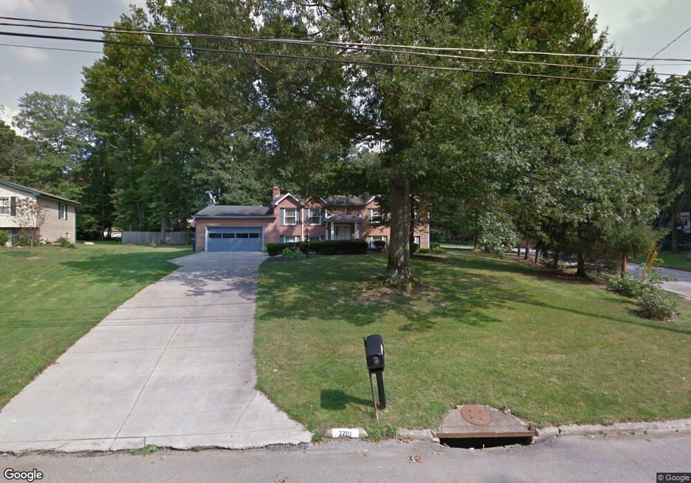
7781 E Parkside Dr Youngstown, OH 44512
Estimated Value: $261,000 - $291,000
About This Home
This home is located at 7781 E Parkside Dr, Youngstown, OH 44512 and is currently estimated at $272,025, approximately $125 per square foot. 7781 E Parkside Dr is a home located in Mahoning County with nearby schools including Stadium Drive Elementary School, Boardman Center Middle School, and Boardman High School.
Ownership History
We collect this data history from publicly available records. To have your information removed, we recommend requesting removal directly through your county’s website.
Purchase Details
Home Financials for this Owner
Home Financials are based on the most recent Mortgage that was taken out on this home.Purchase Details
Home Values in the Area
Average Home Value in this Area
Purchase History
We collect this data history from publicly available records. To have your information removed, we recommend requesting removal directly through your county’s website.
| Date | Buyer | Sale Price | Title Company |
|---|---|---|---|
| $142,500 | -- | ||
| $90,000 | -- |
Mortgage History
We collect this data history from publicly available records. To have your information removed, we recommend requesting removal directly through your county’s website.
| Date | Status | Borrower | Loan Amount |
|---|---|---|---|
| Open | $80,700 |
Tax History
We collect this data history from publicly available records. To have your information removed, we recommend requesting removal directly through your county’s website.
| Year | Tax Paid | Tax Assessment Tax Assessment Total Assessment is a certain percentage of the fair market value that is determined by local assessors to be the total taxable value of land and additions on the property. | Land | Improvement |
|---|---|---|---|---|
| 2025 | $3,212 | $64,970 | $10,000 | $54,970 |
| 2024 | $3,287 | $64,970 | $10,000 | $54,970 |
| 2023 | $3,243 | $64,970 | $10,000 | $54,970 |
| 2022 | $3,356 | $51,480 | $10,000 | $41,480 |
| 2021 | $3,358 | $51,480 | $10,000 | $41,480 |
| 2020 | $3,375 | $51,480 | $10,000 | $41,480 |
| 2019 | $3,440 | $47,030 | $10,000 | $37,030 |
| 2018 | $2,979 | $47,030 | $10,000 | $37,030 |
| 2017 | $2,976 | $47,030 | $10,000 | $37,030 |
| 2016 | $2,685 | $42,010 | $10,000 | $32,010 |
| 2015 | $2,632 | $42,010 | $10,000 | $32,010 |
| 2014 | $2,639 | $42,010 | $10,000 | $32,010 |
| 2013 | $2,605 | $42,010 | $10,000 | $32,010 |
Map
- 7738 E Parkside Dr
- 742 Sabrina Dr
- 548 Squirrel Hill Dr
- 7473 Jaguar Dr
- 7421 W Parkside Dr
- 8015 Spartan Dr
- 318 Ingram Dr
- 8045 Deerpath Dr
- 624 Angiline Dr
- 7374 Ranier Trail
- 7410 E Huntington Dr Unit B
- 1293 Red Tail Hawk Ct Unit 5
- 1303 Red Tail Hawk Ct
- 1327 Fox Run Dr
- 7062 West Blvd Unit 1
- 1345 Fox Run Ct Unit 2
- 1323 Red Tail Hawk Ct Unit 3
- 1323 Red Tail Hawk Ct Unit 4
- 1341 Fox Run Dr Unit 2B
- 1327 Huntington Ct
- 7772 E Parkside Dr
- 7762 E Parkside Dr
- 7788 E Parkside Dr
- 7794 E Parkside Dr
- 7750 E Parkside Dr
- 7733 W Parkside Dr
- 7739 W Parkside Dr
- 7773 E Parkside Dr
- 7800 E Parkside Dr
- 7761 E Parkside Dr
- 7788 Silver Fox Dr
- 7749 E Parkside Dr
- 7789 E Parkside Dr
- 7727 W Parkside Dr
- 7797 E Parkside Dr
- 7806 E Parkside Dr
- 7780 Silver Fox Dr
- 7740 W Parkside Dr
- 7795 E Parkside Dr
- 7726 E Parkside Dr
Ask me questions while you tour the home.