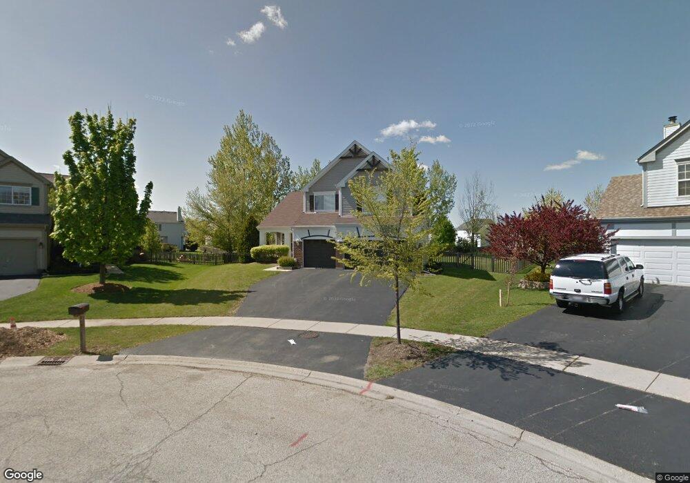
7782 Rippling Ridge Ct Gurnee, IL 60031
Estimated Value: $455,015 - $486,000
4
Beds
3
Baths
2,254
Sq Ft
$211/Sq Ft
Est. Value
About This Home
This home is located at 7782 Rippling Ridge Ct, Gurnee, IL 60031 and is currently estimated at $476,004, approximately $211 per square foot. 7782 Rippling Ridge Ct is a home located in Lake County with nearby schools including Woodland Primary School, Woodland Elementary School, and Woodland Intermediate School.
Ownership History
Date
Name
Owned For
Owner Type
Purchase Details
Closed on
Dec 30, 1993
Sold by
Scn Development Inc
Bought by
Crocco John Joseph and Crocco Marianne
Current Estimated Value
Home Financials for this Owner
Home Financials are based on the most recent Mortgage that was taken out on this home.
Original Mortgage
$184,950
Interest Rate
4.75%
Create a Home Valuation Report for This Property
The Home Valuation Report is an in-depth analysis detailing your home's value as well as a comparison with similar homes in the area
Home Values in the Area
Average Home Value in this Area
Purchase History
| Date | Buyer | Sale Price | Title Company |
|---|---|---|---|
| Crocco John Joseph | $137,333 | Ticor Title Insurance Compan |
Source: Public Records
Mortgage History
| Date | Status | Borrower | Loan Amount |
|---|---|---|---|
| Closed | Crocco John Joseph | $184,950 |
Source: Public Records
Tax History Compared to Growth
Tax History
| Year | Tax Paid | Tax Assessment Tax Assessment Total Assessment is a certain percentage of the fair market value that is determined by local assessors to be the total taxable value of land and additions on the property. | Land | Improvement |
|---|---|---|---|---|
| 2024 | $11,208 | $131,459 | $34,505 | $96,954 |
| 2023 | $11,208 | $122,049 | $32,035 | $90,014 |
| 2022 | $10,301 | $111,684 | $32,072 | $79,612 |
| 2021 | $9,310 | $107,203 | $30,785 | $76,418 |
| 2020 | $9,009 | $104,568 | $30,028 | $74,540 |
| 2019 | $8,752 | $101,532 | $29,156 | $72,376 |
| 2018 | $4,831 | $100,898 | $30,651 | $70,247 |
| 2017 | $8,493 | $98,007 | $29,773 | $68,234 |
| 2016 | $8,424 | $93,643 | $28,447 | $65,196 |
| 2015 | $8,203 | $88,811 | $26,979 | $61,832 |
| 2014 | $8,295 | $90,334 | $26,584 | $63,750 |
| 2012 | $7,862 | $91,026 | $26,788 | $64,238 |
Source: Public Records
Map
Nearby Homes
- 699 Snow Cap Ct
- 7736 Geneva Dr
- 34871 N Lake Shore Dr
- 968 Knowles Rd
- 415 Kingsport Dr
- 1094 Vista Dr
- 7437 Bittersweet Dr
- 18466 W Springwood Dr
- 7449 Brentwood Ln
- 7390 Bittersweet Dr
- 18587 W Meander Dr
- 303 Mainsail Dr
- 1090 Village Ln
- 1491 Greystone Dr
- 34271 N Tangueray Dr
- 35697 N US Highway 45
- 34181 N Old Walnut Cir
- 970 Mount Vernon Dr
- 1603 Napa Dr
- 34115 N Wooded Glen Dr
- 7770 Rippling Ridge Ct
- 7794 Rippling Ridge Ct
- 753 Sierra Place
- 741 Sierra Place
- 729 Sierra Place
- 765 Sierra Place
- 7793 Cascade Way
- 734 Ravinia Dr Unit 1
- 717 Sierra Place
- 7805 Cascade Way Unit 1
- 7781 Rippling Ridge Ct Unit 1
- 705 Sierra Place Unit 1
- 7767 Rippling Ridge Ct Unit 1
- 7817 Cascade Way
- 711 Ravinia Dr
- 699 Ravinia Dr
- 687 Sierra Place
- 723 Ravinia Dr
- 687 Ravinia Dr
- 639 Sierra Place