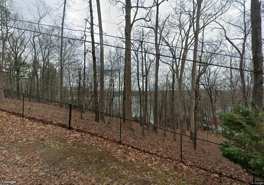
7785 Bamby Rd Cumming, GA 30041
Lake Lanier NeighborhoodEstimated Value: $844,000 - $1,252,000
3
Beds
2
Baths
1,904
Sq Ft
$540/Sq Ft
Est. Value
About This Home
This home is located at 7785 Bamby Rd, Cumming, GA 30041 and is currently estimated at $1,028,175, approximately $540 per square foot. 7785 Bamby Rd is a home located in Forsyth County with nearby schools including Chattahoochee Elementary School and Little Mill Middle School.
Ownership History
Date
Name
Owned For
Owner Type
Purchase Details
Closed on
Jun 14, 2019
Sold by
Kepes Carol S
Bought by
Kepes Stephen D
Current Estimated Value
Purchase Details
Closed on
Jan 24, 2014
Sold by
Kepes Stephen D
Bought by
Kepes Stephen D and Kepes Carol S
Purchase Details
Closed on
Jan 28, 2002
Sold by
Schoen Brooks
Bought by
Kepes Stephen D and Kepes Carol S
Home Financials for this Owner
Home Financials are based on the most recent Mortgage that was taken out on this home.
Original Mortgage
$480,000
Interest Rate
6.38%
Mortgage Type
New Conventional
Purchase Details
Closed on
Mar 23, 2000
Sold by
Brooks Schoen
Bought by
Twiner Lorne J
Create a Home Valuation Report for This Property
The Home Valuation Report is an in-depth analysis detailing your home's value as well as a comparison with similar homes in the area
Home Values in the Area
Average Home Value in this Area
Purchase History
| Date | Buyer | Sale Price | Title Company |
|---|---|---|---|
| Kepes Stephen D | -- | -- | |
| Kepes Stephen D | -- | -- | |
| Kepes Stephen D | $600,000 | -- | |
| Schoen Brooks E | -- | -- | |
| Schoen Brooks E | -- | -- | |
| Twiner Lorne J | -- | -- |
Source: Public Records
Mortgage History
| Date | Status | Borrower | Loan Amount |
|---|---|---|---|
| Previous Owner | Schoen Brooks E | $480,000 |
Source: Public Records
Tax History Compared to Growth
Tax History
| Year | Tax Paid | Tax Assessment Tax Assessment Total Assessment is a certain percentage of the fair market value that is determined by local assessors to be the total taxable value of land and additions on the property. | Land | Improvement |
|---|---|---|---|---|
| 2025 | $2,022 | $391,196 | $222,000 | $169,196 |
| 2024 | $2,022 | $386,756 | $222,000 | $164,756 |
| 2023 | $1,895 | $334,312 | $177,600 | $156,712 |
| 2022 | $1,996 | $266,708 | $155,400 | $111,308 |
| 2021 | $1,957 | $266,708 | $155,400 | $111,308 |
| 2020 | $6,996 | $253,344 | $155,400 | $97,944 |
| 2019 | $7,203 | $260,464 | $155,400 | $105,064 |
| 2018 | $6,685 | $241,740 | $155,400 | $86,340 |
| 2017 | $6,834 | $246,244 | $160,000 | $86,244 |
| 2016 | $6,834 | $246,244 | $160,000 | $86,244 |
| 2015 | $6,847 | $246,244 | $160,000 | $86,244 |
| 2014 | -- | $239,488 | $0 | $0 |
Source: Public Records
Map
Nearby Homes
- 7630 Leeward Sound
- 7590 Golden Sands Dr
- 7640 Harbour Walk
- 7725 Bold Springs Crossing
- 7725 Mill Cove Rd
- 7790 Chestnut Hill Rd
- 0 Chinquapin Ln Unit 10575087
- 0 Chinquapin Ln Unit 7624624
- 7125 Heard Rd
- 7218 Timber Trail
- 7245 Natures Trail
- 7315 Natures Trail
- 4685 Palmetto Ln
- 7370 Fields Dr
- 8030 Dogwood Trail Unit H
- 7488 Shadburn Ferry Rd
- 0 Indian Knoll Rd Unit 7638013
- 8140 Lanier Dr
- 0 Chestnut Hill Rd Unit 6001350
- 0 Chestnut Hill Rd Unit 27
- 0 Chestnut Hill Rd Unit 10297482
- 0 Chestnut Hill Rd Unit 7382436
- 0 Chestnut Hill Rd Unit 9017852
- 0 Chestnut Hill Rd Unit 8776093
- 0 Chestnut Hill Rd Unit 27 8367237
- 0 Chestnut Hill Rd Unit 3041473
- 0 Chestnut Hill Rd Unit 7119161
- 0 Chestnut Hill Rd Unit 7120441
- 0 Chestnut Hill Rd Unit 7132323
- 0 Chestnut Hill Rd Unit 7176771
- 0 Chestnut Hill Rd Unit 7227601
- 0 Chestnut Hill Rd Unit 7279341
- 0 Chestnut Hill Rd Unit 7395631
- 0 Chestnut Hill Rd Unit 7635814
- 0 Chestnut Hill Rd Unit 8401592
- 0 Chestnut Hill Rd Unit 8587223
- 7795 Bamby Rd
- 7775 Bamby Rd