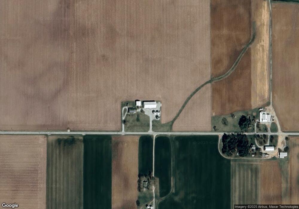
7789 Jones Rd College Corner, OH 45003
Estimated Value: $205,000 - $1,116,504
3
Beds
1
Bath
1,980
Sq Ft
$334/Sq Ft
Est. Value
About This Home
This home is located at 7789 Jones Rd, College Corner, OH 45003 and is currently estimated at $660,752, approximately $333 per square foot. 7789 Jones Rd is a home located in Preble County with nearby schools including College Corner Union Elementary School.
Ownership History
Date
Name
Owned For
Owner Type
Purchase Details
Closed on
Dec 10, 2008
Sold by
Tussey Kirby K and Tussey Doris L
Bought by
Tussey Edward J and The Tussey Keystone Inheritance Trust
Current Estimated Value
Purchase Details
Closed on
May 10, 2008
Sold by
Tussey Edward J and Tussey Ryan P
Bought by
Tussey Kirby K and Tussey Doris L
Purchase Details
Closed on
Mar 12, 2008
Sold by
Tussey Edward J
Bought by
Tussey Edward J and Tussey Keystone Inheritance Trust
Purchase Details
Closed on
Jan 10, 1994
Bought by
Tussey Edward J Trustee
Create a Home Valuation Report for This Property
The Home Valuation Report is an in-depth analysis detailing your home's value as well as a comparison with similar homes in the area
Home Values in the Area
Average Home Value in this Area
Purchase History
| Date | Buyer | Sale Price | Title Company |
|---|---|---|---|
| Tussey Edward J | -- | Attorney | |
| Tussey Kirby K | -- | Attorney | |
| Tussey Edward J | -- | Attorney | |
| Tussey Edward J | -- | Attorney | |
| Tussey Edward J | -- | None Available | |
| Tussey Edward J Trustee | -- | -- |
Source: Public Records
Tax History Compared to Growth
Tax History
| Year | Tax Paid | Tax Assessment Tax Assessment Total Assessment is a certain percentage of the fair market value that is determined by local assessors to be the total taxable value of land and additions on the property. | Land | Improvement |
|---|---|---|---|---|
| 2024 | $5,288 | $330,980 | $234,940 | $96,040 |
| 2023 | $5,288 | $330,980 | $234,940 | $96,040 |
| 2022 | $4,002 | $127,810 | $47,690 | $80,120 |
| 2021 | $4,248 | $273,760 | $193,640 | $80,120 |
| 2020 | $4,044 | $273,760 | $193,640 | $80,120 |
| 2019 | $4,910 | $265,730 | $184,420 | $81,310 |
| 2018 | $5,113 | $265,730 | $184,420 | $81,310 |
| 2017 | $5,112 | $265,730 | $184,420 | $81,310 |
| 2016 | $5,414 | $239,070 | $154,650 | $84,420 |
| 2014 | $4,129 | $243,190 | $154,670 | $88,520 |
| 2013 | $4,129 | $212,415 | $123,900 | $88,515 |
Source: Public Records
Map
Nearby Homes
- 8961 Walnut St
- 106 County Line Rd
- 209 Main St
- 4 Main St
- 400 Brookville St
- 218 Brookville St
- 212 Shideler St
- 400 Union St
- 515 Liberty Ave
- 5395 Brookville Pike
- 5722 E Township Line Rd
- 6529 Todd Rd
- 5700 Forest Ridge Dr
- 6391 Morning Sun Rd
- 5706 Forest Ridge Dr
- 7870 Contreras Rd
- 215 Country Club Dr
- 9 Angela Ct
- 6200 Hester Rd
- 5400 Hester Rd