Estimated Value: $56,000 - $143,000
2
Beds
1
Bath
772
Sq Ft
$137/Sq Ft
Est. Value
About This Home
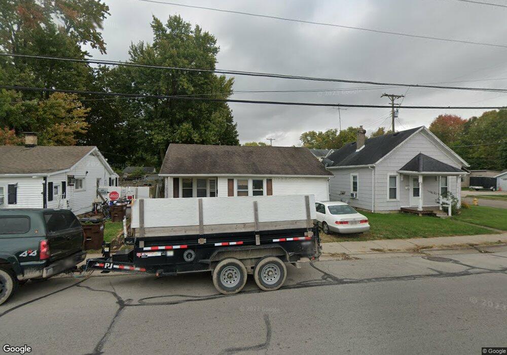
This home is located at 779 Cincinnati Ave, Xenia, OH 45385 and is currently estimated at $106,114, approximately $137 per square foot. 779 Cincinnati Ave is a home located in Greene County with nearby schools including Xenia High School, Summit Academy Community School for Alternative Learners - Xenia, and Legacy Christian Academy.
Ownership History
Date
Name
Owned For
Owner Type
Purchase Details
Closed on
Jul 12, 2023
Sold by
Sherman-Garrison Properties Llc
Bought by
Biggs Rentals Llc
Current Estimated Value
Purchase Details
Closed on
Jun 20, 2023
Sold by
Taylor William J
Bought by
Enterprise R/E Consulting
Purchase Details
Closed on
Jun 16, 2023
Sold by
Enterprise R/E Consulting
Bought by
Sherman-Garrison Prop Llc
Purchase Details
Closed on
Jan 4, 2011
Sold by
Taylor Gary and Taylor Kim
Bought by
Taylor William J
Purchase Details
Closed on
Dec 12, 1996
Sold by
Jenks Roger D
Bought by
Gary and Taylor Kim
Create a Home Valuation Report for This Property
The Home Valuation Report is an in-depth analysis detailing your home's value as well as a comparison with similar homes in the area
Home Values in the Area
Average Home Value in this Area
Purchase History
| Date | Buyer | Sale Price | Title Company |
|---|---|---|---|
| Biggs Rentals Llc | $58,500 | None Listed On Document | |
| Enterprise R/E Consulting | $30,000 | None Listed On Document | |
| Sherman-Garrison Prop Llc | $47,000 | None Listed On Document | |
| Taylor William J | -- | Attorney | |
| Gary | $21,500 | -- |
Source: Public Records
Tax History Compared to Growth
Tax History
| Year | Tax Paid | Tax Assessment Tax Assessment Total Assessment is a certain percentage of the fair market value that is determined by local assessors to be the total taxable value of land and additions on the property. | Land | Improvement |
|---|---|---|---|---|
| 2024 | $675 | $15,500 | $2,790 | $12,710 |
| 2023 | $675 | $15,500 | $2,790 | $12,710 |
| 2022 | $584 | $11,650 | $2,230 | $9,420 |
| 2021 | $592 | $11,650 | $2,230 | $9,420 |
| 2020 | $567 | $11,650 | $2,230 | $9,420 |
| 2019 | $595 | $11,500 | $2,640 | $8,860 |
| 2018 | $597 | $11,500 | $2,640 | $8,860 |
| 2017 | $572 | $11,500 | $2,640 | $8,860 |
| 2016 | $573 | $10,820 | $2,640 | $8,180 |
| 2015 | $574 | $10,820 | $2,640 | $8,180 |
| 2014 | $550 | $10,820 | $2,640 | $8,180 |
Source: Public Records
Map
Nearby Homes
- 453 Walnut St
- 523 Newport Rd
- 305-325 Bellbrook Ave
- 633 Xenia Ave
- 293 S Miami Ave
- 847 S Detroit St
- 46 Lake St
- 55 Lake St
- 400 S Detroit St
- 148 Home Ave
- 1208 Bellbrook Ave
- 98 W 3rd St
- 1272 Bellbrook Ave
- 260 Pocahontas St
- 75 W 2nd St
- 36 Leaman St
- 979 Mcdowell St
- 733 State Route 380
- 222 Washington St
- 1342 Kylemore Dr
- 789 Cincinnati Ave
- 771 Cincinnati Ave
- 526 Stelton Rd
- 518 Stelton Rd
- 506 Stelton Rd
- 541 Stelton Rd
- 794 Cincinnati Ave Unit 806
- 525 Stelton Rd
- 500 Stelton Rd
- 515 Stelton Rd
- 819 Cincinnati Ave
- 492 Stelton Rd
- 505 Stelton Rd
- 505 Stelton Rd Unit 509
- 495 Stelton Rd
- 750 Cincinnati Ave
- 484 Stelton Rd
- 824 Cincinnati Ave
- 485 Stelton Rd
- 485 Stelton Rd Unit 489