779 Laurel Branch Rd Hayesville, NC 28904
Estimated Value: $223,000 - $332,000
3
Beds
2
Baths
1,403
Sq Ft
$187/Sq Ft
Est. Value
About This Home
This home is located at 779 Laurel Branch Rd, Hayesville, NC 28904 and is currently estimated at $262,661, approximately $187 per square foot. 779 Laurel Branch Rd is a home located in Clay County with nearby schools including Hayesville Elementary School, Hayesville Middle School, and Hayesville High School.
Ownership History
Date
Name
Owned For
Owner Type
Purchase Details
Closed on
Jul 12, 2016
Sold by
Vonder Osten Jeffrey E and Von Der Osten Jeffrey Scott
Bought by
Vonder Osten Jeffrey E
Current Estimated Value
Purchase Details
Closed on
Mar 9, 2011
Sold by
Federal National Mortgage Association
Bought by
Osten Jeffrey E Von Der and Osten Marsh M Von Der
Purchase Details
Closed on
May 17, 2010
Sold by
Kelly Phillip and Kelly Joline
Bought by
Federal National Mortgage Association
Create a Home Valuation Report for This Property
The Home Valuation Report is an in-depth analysis detailing your home's value as well as a comparison with similar homes in the area
Home Values in the Area
Average Home Value in this Area
Purchase History
| Date | Buyer | Sale Price | Title Company |
|---|---|---|---|
| Vonder Osten Jeffrey E | -- | None Available | |
| Osten Jeffrey E Von Der | -- | -- | |
| Federal National Mortgage Association | $56,039 | -- |
Source: Public Records
Tax History Compared to Growth
Tax History
| Year | Tax Paid | Tax Assessment Tax Assessment Total Assessment is a certain percentage of the fair market value that is determined by local assessors to be the total taxable value of land and additions on the property. | Land | Improvement |
|---|---|---|---|---|
| 2025 | $542 | $94,000 | $24,900 | $69,100 |
| 2024 | $542 | $94,000 | $24,900 | $69,100 |
| 2023 | $442 | $94,000 | $24,900 | $69,100 |
| 2022 | $198 | $94,000 | $24,900 | $69,100 |
| 2021 | $442 | $94,000 | $24,900 | $69,100 |
| 2020 | $442 | $94,000 | $24,900 | $69,100 |
| 2019 | $442 | $94,000 | $24,900 | $69,100 |
| 2018 | $442 | $94,000 | $24,900 | $69,100 |
| 2016 | -- | $87,894 | $34,829 | $53,065 |
| 2015 | -- | $87,894 | $34,829 | $53,065 |
| 2014 | -- | $87,894 | $34,829 | $53,065 |
Source: Public Records
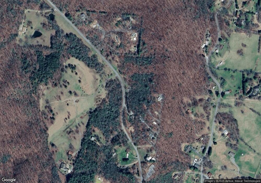
Map
Nearby Homes
- 966 Laurel Branch Rd
- 1017 Laurel Branch Rd
- 630 Hot House Rd
- 312 Penland Indian Trail
- 122 Penland Indian Trail
- 125 Jess Hooper Dr
- 472 Hogsed Dr
- 1306 Hot House Rd
- 00 Cliffside Dr Unit LotWP002
- 0 Tbd Cliffside Dr
- 00 Cliffside Dr
- TR 2 & 3 Ash Rd
- 41 Little Brook Terrace
- Lot 137 Shiloh Ridge
- LT 73 Shiloh Ridge
- Lot 139 Shiloh Ridge
- 30 Berrong Dr
- 398 Hidden Cove Ln
- 195 Turkey Cove Dr
- LOT 18 Shooting Creek Trail
- 833 Laurel Branch Rd
- 119 Laurel Branch Dr
- 89 Laurel Branch Dr
- 75 Laurel Branch Dr Unit 6
- 75 Laurel Branch Dr
- 922 Laurel Branch Rd
- 1.8 ACRE Laurel Branch Dr Unit 1.8 AC
- 0 Laurel Branch Dr Unit 291495
- 65 Laurel Branch Dr
- 65 Laurel Branch Rd
- 45 Laurel Branch Dr
- 999999 Laurel Branch Rd
- 0 Laurel Branch Rd Unit 312318
- 0 Laurel Branch Rd Unit 300030
- 0 Laurel Branch Rd Unit 166705
- 0 Laurel Branch Rd Unit 120239
- 0 Laurel Branch Rd Unit CAR4088780
- 0 Laurel Branch Rd Unit 8636775
- 0 Laurel Branch Rd
- 888 Laurel Branch Rd Unit Tr1