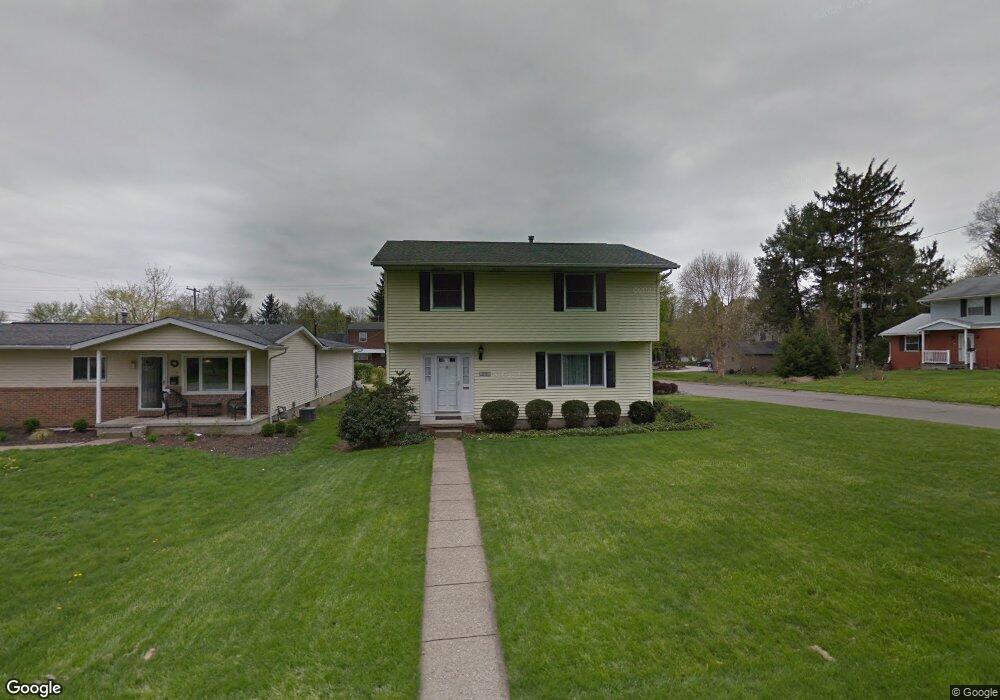
779 Maxola Ave Newark, OH 43055
Estimated Value: $327,000 - $377,000
4
Beds
3
Baths
2,017
Sq Ft
$170/Sq Ft
Est. Value
About This Home
This home is located at 779 Maxola Ave, Newark, OH 43055 and is currently estimated at $342,063, approximately $169 per square foot. 779 Maxola Ave is a home located in Licking County with nearby schools including John Clem Elementary School, Liberty Middle School, and Newark High School.
Ownership History
Date
Name
Owned For
Owner Type
Purchase Details
Closed on
Dec 5, 2004
Sold by
Ballance Tamara C and Ballance Timothy A
Bought by
Ballance Timothy A and Ballance Tamara C
Current Estimated Value
Purchase Details
Closed on
Jul 16, 1996
Sold by
Blasczyk Robert J
Bought by
Kent Tamara C
Home Financials for this Owner
Home Financials are based on the most recent Mortgage that was taken out on this home.
Original Mortgage
$30,000
Interest Rate
8.09%
Mortgage Type
New Conventional
Create a Home Valuation Report for This Property
The Home Valuation Report is an in-depth analysis detailing your home's value as well as a comparison with similar homes in the area
Home Values in the Area
Average Home Value in this Area
Purchase History
| Date | Buyer | Sale Price | Title Company |
|---|---|---|---|
| Ballance Timothy A | -- | -- | |
| Kent Tamara C | $117,000 | -- |
Source: Public Records
Mortgage History
| Date | Status | Borrower | Loan Amount |
|---|---|---|---|
| Closed | Kent Tamara C | $30,000 |
Source: Public Records
Tax History Compared to Growth
Tax History
| Year | Tax Paid | Tax Assessment Tax Assessment Total Assessment is a certain percentage of the fair market value that is determined by local assessors to be the total taxable value of land and additions on the property. | Land | Improvement |
|---|---|---|---|---|
| 2024 | $2,599 | $82,500 | $15,440 | $67,060 |
| 2023 | $2,617 | $82,500 | $15,440 | $67,060 |
| 2022 | $2,459 | $70,110 | $10,050 | $60,060 |
| 2021 | $2,579 | $70,110 | $10,050 | $60,060 |
| 2020 | $2,638 | $70,110 | $10,050 | $60,060 |
| 2019 | $2,018 | $53,940 | $7,740 | $46,200 |
| 2018 | $2,020 | $0 | $0 | $0 |
| 2017 | $1,934 | $0 | $0 | $0 |
| 2016 | $1,703 | $0 | $0 | $0 |
| 2015 | $1,740 | $0 | $0 | $0 |
| 2014 | $2,748 | $0 | $0 | $0 |
| 2013 | $1,759 | $0 | $0 | $0 |
Source: Public Records
Map
Nearby Homes
- 752 Maxola Ave
- 711 Sherwick Rd
- 855 E Village Dr
- 712 Stone Ridge Way
- 632 Granville Rd
- 594 N 21st St
- 565 Granville St
- 584 Moull St Unit A
- 562 Jutlew Rd
- 188 Meadow Dr
- 184 Meadow Dr
- 533 Leslie Dr
- 863 Shelbourne Place Unit 863
- 36 Hall Ave
- 892 Shelbourne Place Unit 892
- 913 Roosevelt Ct
- 498 Marion Manor Woods
- 473 Meadowbrook Dr
- 440 Reverie Place
- 408 Granville St
- 773 Maxola Ave
- 765 Maxola Ave
- 776 Maxola Ave
- 725 Smithfield Dr
- 733 Smithfield Dr
- 774 Granville Rd
- 759 Maxola Ave
- 786 Granville Rd
- 739 Smithfield Dr
- 766 Granville Rd
- 794 Granville Rd
- 764 Maxola Ave
- 750 Smithfield Dr
- 753 Maxola Ave
- 747 Smithfield Dr
- 758 Maxola Ave
- 756 Granville Rd
- 758 Smithfield Dr
- 747 Maxola Ave
- 755 Smithfield Dr