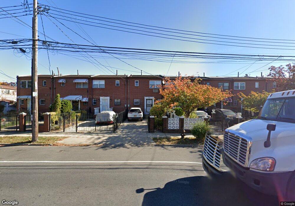
779 Mother Gaston Blvd Brooklyn, NY 11212
Brownsville NeighborhoodEstimated Value: $494,264 - $633,000
--
Bed
--
Bath
1,148
Sq Ft
$503/Sq Ft
Est. Value
About This Home
This home is located at 779 Mother Gaston Blvd, Brooklyn, NY 11212 and is currently estimated at $577,566, approximately $503 per square foot. 779 Mother Gaston Blvd is a home located in Kings County with nearby schools including P.S. 165 Ida Posner, P.S. 150 - Christopher, and P.S. 156 Waverly.
Ownership History
Date
Name
Owned For
Owner Type
Purchase Details
Closed on
Apr 1, 2024
Sold by
Stanton Eudene C
Bought by
Stanton Family Trust and Stanton
Current Estimated Value
Purchase Details
Closed on
May 18, 2004
Sold by
King Stanton Eudene and Stanton Derek
Bought by
King Stanton and King Eudene
Create a Home Valuation Report for This Property
The Home Valuation Report is an in-depth analysis detailing your home's value as well as a comparison with similar homes in the area
Home Values in the Area
Average Home Value in this Area
Purchase History
| Date | Buyer | Sale Price | Title Company |
|---|---|---|---|
| Stanton Family Trust | -- | -- | |
| Stanton Family Trust | -- | -- | |
| King Stanton | $67,000 | -- | |
| King Stanton | $67,000 | -- |
Source: Public Records
Tax History Compared to Growth
Tax History
| Year | Tax Paid | Tax Assessment Tax Assessment Total Assessment is a certain percentage of the fair market value that is determined by local assessors to be the total taxable value of land and additions on the property. | Land | Improvement |
|---|---|---|---|---|
| 2025 | $3,471 | $33,060 | $13,320 | $19,740 |
| 2024 | $3,471 | $30,720 | $13,320 | $17,400 |
| 2023 | $3,623 | $33,780 | $13,320 | $20,460 |
| 2022 | $2,638 | $32,460 | $13,320 | $19,140 |
| 2021 | $3,495 | $30,060 | $13,320 | $16,740 |
| 2020 | $1,619 | $25,440 | $13,320 | $12,120 |
| 2019 | $3,016 | $25,440 | $13,320 | $12,120 |
| 2018 | $2,922 | $17,568 | $9,091 | $8,477 |
| 2017 | $3,254 | $17,435 | $11,873 | $5,562 |
| 2016 | $2,978 | $16,449 | $12,463 | $3,986 |
| 2015 | $1,875 | $15,518 | $9,798 | $5,720 |
| 2014 | $1,875 | $14,640 | $11,100 | $3,540 |
Source: Public Records
Map
Nearby Homes
- 797 Mother Gaston Blvd
- 699 Sackman St
- 258 Lott Ave
- 546 Powell St
- 555 Christopher Ave
- 563 Powell St
- 578 Christopher Ave
- 587 Osborn St
- 504 Thatford Ave
- 892 Mother Gaston Blvd
- 923 Rockaway Ave
- 632 Osborn St
- 524 Chester St
- 442 Newport St
- 533 Snediker Ave
- 124 Lott Ave
- 664 Osborn St Unit 1
- 584 Hinsdale St
- 546 Bristol St
- 589 Hinsdale St
- 781 Mother Gaston Blvd Unit 781A
- 781-781A Mother Gaston Blvd
- 783 Mother Gaston Blvd
- 785 Mother Gaston Blvd
- 777 Mother Gaston Blvd
- 787 Mother Gaston Blvd
- 775 Mother Gaston Blvd
- 789 Mother Gaston Blvd
- 773 Mother Gaston Blvd
- 791 Mother Gaston Blvd
- 502 Christopher Ave
- 504 Christopher Ave
- 500 Christopher Ave
- 506 Christopher Ave
- 498 Christopher Ave
- 793 Mother Gaston Blvd
- 508 Christopher Ave
- 494 Christopher Ave
- 510 Christopher Ave
- 795 Mother Gaston Blvd