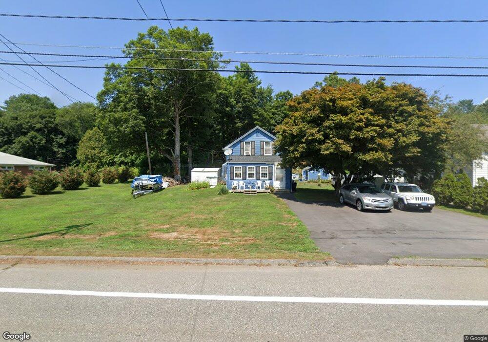
779 Quinebaug Rd North Grosvenordale, CT 06255
Estimated Value: $288,000 - $345,000
3
Beds
1
Bath
1,287
Sq Ft
$242/Sq Ft
Est. Value
About This Home
This home is located at 779 Quinebaug Rd, North Grosvenordale, CT 06255 and is currently estimated at $310,814, approximately $241 per square foot. 779 Quinebaug Rd is a home with nearby schools including Mary R. Fisher Elementary School, Thompson Middle School, and Tourtellotte Memorial High School.
Ownership History
Date
Name
Owned For
Owner Type
Purchase Details
Closed on
Jul 12, 2017
Sold by
Chito Michael and Chito Theokisti
Bought by
Ciras William A and Ciras Robin E
Current Estimated Value
Home Financials for this Owner
Home Financials are based on the most recent Mortgage that was taken out on this home.
Original Mortgage
$137,500
Outstanding Balance
$114,120
Interest Rate
3.94%
Mortgage Type
New Conventional
Estimated Equity
$196,694
Create a Home Valuation Report for This Property
The Home Valuation Report is an in-depth analysis detailing your home's value as well as a comparison with similar homes in the area
Home Values in the Area
Average Home Value in this Area
Purchase History
| Date | Buyer | Sale Price | Title Company |
|---|---|---|---|
| Ciras William A | $137,500 | -- | |
| Ciras William A | $137,500 | -- |
Source: Public Records
Mortgage History
| Date | Status | Borrower | Loan Amount |
|---|---|---|---|
| Open | Ciras William A | $137,500 | |
| Closed | Ciras William A | $137,500 |
Source: Public Records
Tax History Compared to Growth
Tax History
| Year | Tax Paid | Tax Assessment Tax Assessment Total Assessment is a certain percentage of the fair market value that is determined by local assessors to be the total taxable value of land and additions on the property. | Land | Improvement |
|---|---|---|---|---|
| 2025 | $2,975 | $156,600 | $40,500 | $116,100 |
| 2024 | $2,789 | $99,200 | $28,100 | $71,100 |
| 2023 | $2,579 | $99,200 | $28,100 | $71,100 |
| 2022 | $2,482 | $99,200 | $28,100 | $71,100 |
| 2021 | $2,475 | $99,200 | $28,100 | $71,100 |
| 2020 | $2,404 | $99,200 | $28,100 | $71,100 |
| 2019 | $2,373 | $85,500 | $29,000 | $56,500 |
| 2018 | $2,373 | $85,500 | $29,000 | $56,500 |
| 2017 | $2,228 | $85,500 | $29,000 | $56,500 |
| 2016 | $2,228 | $85,500 | $29,000 | $56,500 |
| 2015 | $2,120 | $85,500 | $29,000 | $56,500 |
| 2014 | $2,045 | $89,400 | $30,500 | $58,900 |
Source: Public Records
Map
Nearby Homes
- 10 Highland Dr
- 81 Parkway Dr
- 126 Old Southbridge Rd
- 10 Green Acres Ln
- 128 Old Southbridge Rd
- 0 Blash Rd Unit 24105055
- 264 Dresser Hill Rd
- 433 Fabyan Rd
- 468 Fabyan Rd
- 11 Lempicki Rd
- 145 Center Rd
- 73 Dudley Hill Rd
- 7 Dudley Hill Rd
- 417 Dugg Hill Rd
- 220 W Main St
- 313 Quinebaug Rd
- 2 W Dudley Rd
- 40 Hagstrom Rd
- 4 W Dudley Rd
- 36 Olde Meadow Rd