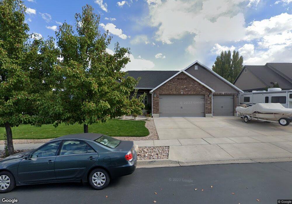
779 S 1100 W Spanish Fork, UT 84660
Estimated Value: $764,000 - $786,000
6
Beds
4
Baths
4,024
Sq Ft
$192/Sq Ft
Est. Value
About This Home
This home is located at 779 S 1100 W, Spanish Fork, UT 84660 and is currently estimated at $773,188, approximately $192 per square foot. 779 S 1100 W is a home located in Utah County with nearby schools including Riverview Elementary School, Spanish Fork Jr High School, and Spanish Fork High School.
Ownership History
Date
Name
Owned For
Owner Type
Purchase Details
Closed on
Oct 27, 2023
Sold by
Hamilton Rand L and Hamilton Kandace B
Bought by
Hamilton Family Living Trust and Hamilton
Current Estimated Value
Purchase Details
Closed on
Jul 9, 2007
Sold by
Johnsen Tod
Bought by
Hamilton Rand L and Hamilton Kandace B
Home Financials for this Owner
Home Financials are based on the most recent Mortgage that was taken out on this home.
Original Mortgage
$65,250
Interest Rate
6.51%
Mortgage Type
Stand Alone Second
Purchase Details
Closed on
Aug 8, 2006
Sold by
Westfield Development Corp
Bought by
Johnsen Tod
Home Financials for this Owner
Home Financials are based on the most recent Mortgage that was taken out on this home.
Original Mortgage
$230,100
Interest Rate
6.76%
Mortgage Type
Construction
Create a Home Valuation Report for This Property
The Home Valuation Report is an in-depth analysis detailing your home's value as well as a comparison with similar homes in the area
Home Values in the Area
Average Home Value in this Area
Purchase History
| Date | Buyer | Sale Price | Title Company |
|---|---|---|---|
| Hamilton Family Living Trust | -- | None Listed On Document | |
| Hamilton Rand L | -- | Equity Title Orem Blvd | |
| Johnsen Tod | -- | Title West Title Company |
Source: Public Records
Mortgage History
| Date | Status | Borrower | Loan Amount |
|---|---|---|---|
| Previous Owner | Hamilton Rand L | $65,250 | |
| Previous Owner | Hamilton Rand L | $348,000 | |
| Previous Owner | Johnsen Tod | $230,100 |
Source: Public Records
Tax History Compared to Growth
Tax History
| Year | Tax Paid | Tax Assessment Tax Assessment Total Assessment is a certain percentage of the fair market value that is determined by local assessors to be the total taxable value of land and additions on the property. | Land | Improvement |
|---|---|---|---|---|
| 2025 | $3,490 | $417,780 | $214,300 | $545,300 |
| 2024 | $3,490 | $359,700 | $0 | $0 |
| 2023 | $3,496 | $360,745 | $0 | $0 |
| 2022 | $3,589 | $363,220 | $0 | $0 |
| 2021 | $3,299 | $534,200 | $155,400 | $378,800 |
| 2020 | $3,037 | $478,000 | $141,300 | $336,700 |
| 2019 | $2,868 | $474,900 | $141,300 | $333,600 |
| 2018 | $2,658 | $425,500 | $126,400 | $299,100 |
| 2017 | $2,577 | $221,760 | $0 | $0 |
| 2016 | $2,456 | $208,560 | $0 | $0 |
| 2015 | $2,462 | $206,525 | $0 | $0 |
| 2014 | $2,283 | $192,225 | $0 | $0 |
Source: Public Records
Map
Nearby Homes
- 1076 River Hill Dr
- 1171 W 800 S Unit 38
- 1256 W 800 S Unit 25
- 1256 W 800 S
- 1336 W 800 S Unit 22
- Aspen Plan at River Point
- Solitude Plan at River Point
- Snowbasin Plan at River Point
- Telluride Plan at River Point
- Breckenridge Plan at River Point
- Sundance Plan at River Point
- Vail Plan at River Point
- Brighton Plan at River Point
- Powder Mountain Plan at River Point
- Alta Plan at River Point
- Snowbird Plan at River Point
- 1701 Del Monte Rd Unit 21
- 501 S 880 W
- 429 S 1280 W
- 1377 W 450 S
- 1069 River Hill Dr
- 793 S 1100 W
- 786 S 1100 W
- 786 S 1100 W Unit 62
- 1092 River Hill Dr
- 737 S 1100 W
- 1041 River Hill Dr
- 1041 S River Ln
- 764 S 1100 W
- 802 S 1100 W
- 829 S 1100 W
- 1064 River Hill Dr
- 742 S 1100 W
- 847 S 1100 W
- 824 S 1100 W
- 1023 River Hill Dr
- 1073 W River Ridge Ln Unit 31
- 1073 W River Ridge Ln Unit 31A
- 1073 W River Ridge Ln
- 1038 River Hill Dr