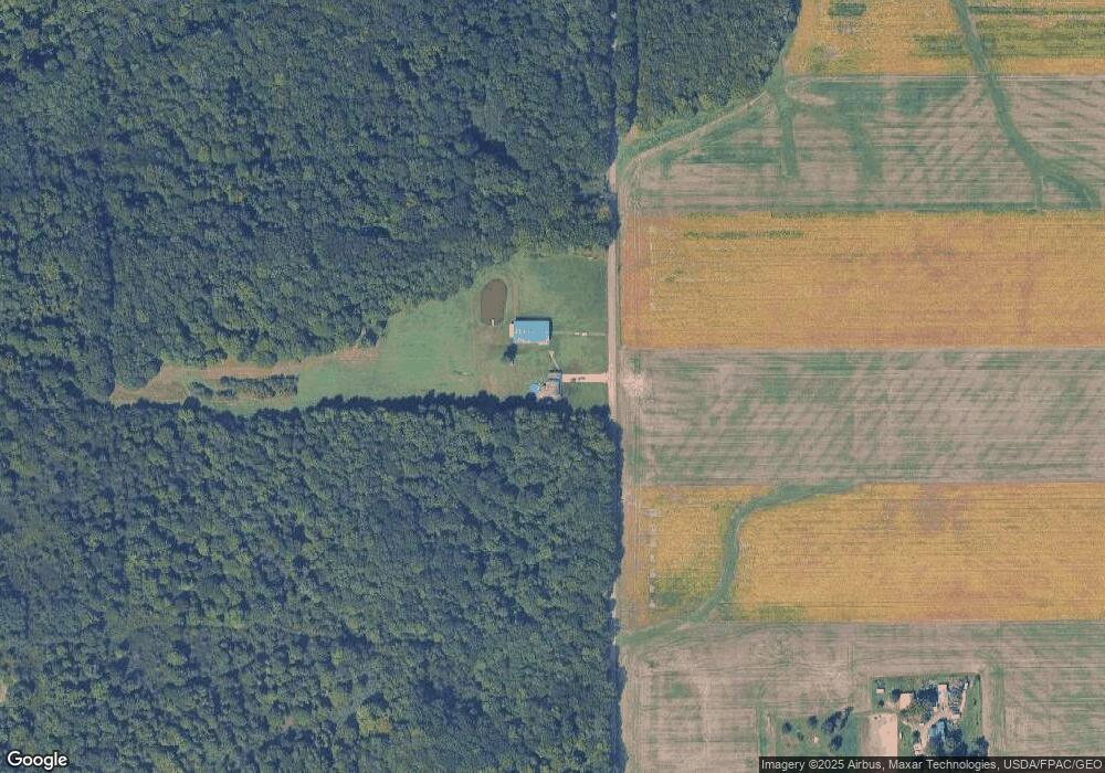
779 State Line Rd Conneaut, OH 44030
Estimated Value: $291,000 - $389,000
3
Beds
2
Baths
2,160
Sq Ft
$158/Sq Ft
Est. Value
About This Home
This home is located at 779 State Line Rd, Conneaut, OH 44030 and is currently estimated at $341,569, approximately $158 per square foot. 779 State Line Rd is a home located in Ashtabula County with nearby schools including Lakeshore Primary Elementary School, Gateway Elementary School, and Conneaut Middle School.
Ownership History
Date
Name
Owned For
Owner Type
Purchase Details
Closed on
Apr 27, 1995
Sold by
Clark William
Bought by
Campbell David R
Current Estimated Value
Create a Home Valuation Report for This Property
The Home Valuation Report is an in-depth analysis detailing your home's value as well as a comparison with similar homes in the area
Home Values in the Area
Average Home Value in this Area
Purchase History
| Date | Buyer | Sale Price | Title Company |
|---|---|---|---|
| Campbell David R | $23,500 | -- |
Source: Public Records
Tax History Compared to Growth
Tax History
| Year | Tax Paid | Tax Assessment Tax Assessment Total Assessment is a certain percentage of the fair market value that is determined by local assessors to be the total taxable value of land and additions on the property. | Land | Improvement |
|---|---|---|---|---|
| 2024 | $6,970 | $95,280 | $18,590 | $76,690 |
| 2023 | $4,433 | $95,280 | $18,590 | $76,690 |
| 2022 | $3,994 | $75,600 | $14,280 | $61,320 |
| 2021 | $4,063 | $75,600 | $14,280 | $61,320 |
| 2020 | $4,061 | $75,600 | $14,280 | $61,320 |
| 2019 | $4,243 | $77,600 | $12,320 | $65,280 |
| 2018 | $4,046 | $77,600 | $12,320 | $65,280 |
| 2017 | $3,846 | $77,600 | $12,320 | $65,280 |
| 2016 | $3,616 | $75,500 | $11,940 | $63,560 |
| 2015 | $7,035 | $75,500 | $11,940 | $63,560 |
| 2014 | $3,221 | $75,500 | $11,940 | $63,560 |
| 2013 | $2,977 | $71,720 | $11,520 | $60,200 |
Source: Public Records
Map
Nearby Homes
- 7457 State Line Rd
- 711 State Line Rd
- 490 Colver Rd
- 14999 Colver Rd
- 14991 Colver Rd
- 14918 Colver Rd
- 7449 State Line Rd
- 260 John Ave
- 770 Furnace Rd
- 7375 State Line Rd
- 501 Culver Rd
- 250 John Ave
- 246 John Ave
- 6 Schiavone Dr
- 346 Pryately Blvd
- 339 Pryately Blvd
- 14843 Colver Rd
- 345 Tony Dr
- 748 Furnace Rd
- 348 Tony Dr