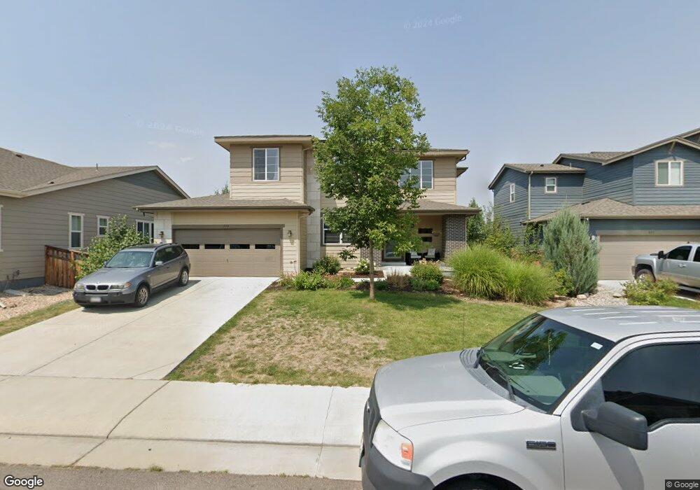
779 Treece St Louisville, CO 80027
Estimated Value: $1,192,244 - $1,463,000
3
Beds
4
Baths
2,533
Sq Ft
$512/Sq Ft
Est. Value
About This Home
This home is located at 779 Treece St, Louisville, CO 80027 and is currently estimated at $1,295,811, approximately $511 per square foot. 779 Treece St is a home with nearby schools including Louisville Elementary School, Louisville Middle School, and Monarch High School.
Ownership History
Date
Name
Owned For
Owner Type
Purchase Details
Closed on
Sep 27, 2012
Sold by
The Ryland Group Inc
Bought by
Dufraux Kimberly
Current Estimated Value
Home Financials for this Owner
Home Financials are based on the most recent Mortgage that was taken out on this home.
Original Mortgage
$417,000
Outstanding Balance
$291,330
Interest Rate
3.7%
Mortgage Type
New Conventional
Estimated Equity
$1,004,481
Create a Home Valuation Report for This Property
The Home Valuation Report is an in-depth analysis detailing your home's value as well as a comparison with similar homes in the area
Home Values in the Area
Average Home Value in this Area
Purchase History
| Date | Buyer | Sale Price | Title Company |
|---|---|---|---|
| Dufraux Kimberly | $538,844 | Ryland Title Company |
Source: Public Records
Mortgage History
| Date | Status | Borrower | Loan Amount |
|---|---|---|---|
| Open | Dufraux Kimberly | $417,000 |
Source: Public Records
Tax History Compared to Growth
Tax History
| Year | Tax Paid | Tax Assessment Tax Assessment Total Assessment is a certain percentage of the fair market value that is determined by local assessors to be the total taxable value of land and additions on the property. | Land | Improvement |
|---|---|---|---|---|
| 2025 | $10,770 | $80,938 | $25,169 | $55,769 |
| 2024 | $10,770 | $80,938 | $25,169 | $55,769 |
| 2023 | $10,415 | $80,688 | $30,096 | $54,277 |
| 2022 | $9,870 | $65,629 | $23,762 | $41,867 |
| 2021 | $9,809 | $67,518 | $24,446 | $43,072 |
| 2020 | $8,868 | $60,639 | $24,596 | $36,043 |
| 2019 | $8,605 | $60,639 | $24,596 | $36,043 |
| 2018 | $7,466 | $55,901 | $15,408 | $40,493 |
| 2017 | $7,690 | $61,801 | $17,034 | $44,767 |
| 2016 | $7,319 | $53,045 | $15,920 | $37,125 |
| 2015 | $7,076 | $43,613 | $22,686 | $20,927 |
| 2014 | $5,909 | $43,613 | $22,686 | $20,927 |
Source: Public Records
Map
Nearby Homes
- 1856 Kalel Ln
- 1851 Gallagher Ln
- 419 Centennial Dr
- 215 Sunland St
- 2040 Highway 42
- 2849 Crater Lake Ln
- 2020 Highway 42
- 1304 Snowberry Ln Unit 202
- 1304 Snowberry Ln Unit 103
- 1312 Snowberry Ln Unit 103
- 1610 Longs Peak Dr
- 1655 Main St
- 1308 Snowberry Ln Unit 103
- 1308 Snowberry Ln Unit 303
- 253 W Cedar Way
- 1362 Golden Eagle Way
- 142 Pheasant Run
- 187 Rendezvous Dr
- 9224 Baseline Rd
- 152 Pheasant Run