7790 Shaffer Rd Reading, MI 49274
Estimated Value: $307,485 - $372,000
3
Beds
2
Baths
1,650
Sq Ft
$209/Sq Ft
Est. Value
About This Home
This home is located at 7790 Shaffer Rd, Reading, MI 49274 and is currently estimated at $345,371, approximately $209 per square foot. 7790 Shaffer Rd is a home located in Hillsdale County with nearby schools including Reynolds Elementary School and Reading High School.
Ownership History
Date
Name
Owned For
Owner Type
Purchase Details
Closed on
Oct 6, 2022
Sold by
Browning Claire W and Browning Y
Bought by
Browning Claire W and The Claire W Browning Living Trust
Current Estimated Value
Purchase Details
Closed on
Mar 17, 2014
Sold by
Coe Larry N and Coe Doris P
Bought by
Browning David B and Browning Claire W
Purchase Details
Closed on
Dec 31, 2009
Sold by
Coe Larry N and Coe Doris P
Bought by
Browning David B and Browning Claire W
Purchase Details
Closed on
May 30, 2003
Sold by
Meilink William and Meilink Sue
Bought by
Coe Larry N and Coe Doris P
Create a Home Valuation Report for This Property
The Home Valuation Report is an in-depth analysis detailing your home's value as well as a comparison with similar homes in the area
Purchase History
| Date | Buyer | Sale Price | Title Company |
|---|---|---|---|
| Browning Claire W | -- | -- | |
| Browning David B | $175,000 | Midstate Title | |
| Browning David B | -- | Midstate Title | |
| Coe Larry N | $194,000 | -- |
Source: Public Records
Tax History
| Year | Tax Paid | Tax Assessment Tax Assessment Total Assessment is a certain percentage of the fair market value that is determined by local assessors to be the total taxable value of land and additions on the property. | Land | Improvement |
|---|---|---|---|---|
| 2025 | $946 | $146,600 | $0 | $0 |
| 2024 | $9 | $145,500 | $0 | $0 |
| 2023 | $878 | $138,900 | $0 | $0 |
| 2022 | $3,314 | $113,200 | $0 | $0 |
| 2021 | $3,223 | $109,600 | $0 | $0 |
| 2020 | $3,213 | $109,800 | $0 | $0 |
| 2019 | $3,126 | $95,900 | $0 | $0 |
| 2018 | $3,006 | $84,800 | $0 | $0 |
| 2017 | $2,920 | $83,600 | $0 | $0 |
| 2016 | $2,894 | $83,000 | $0 | $0 |
| 2015 | $739 | $83,000 | $0 | $0 |
| 2013 | $716 | $78,080 | $0 | $0 |
| 2012 | $700 | $76,830 | $0 | $0 |
Source: Public Records
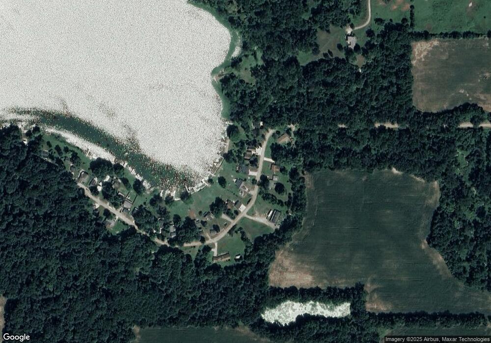
Map
Nearby Homes
- 8941 Kellogg Dr
- 8875 Kellogg Dr
- 9055 Kellogg Dr
- 9059 Kellogg Dr
- 9222 Beech Dr
- 2408 Spruce Dr
- 1725 Hemlock Rd
- 3870 Rus Dic Dr
- 9180 Arkansaw Rd
- 4380 Abbott Rd
- 1750 Pierce Rd
- 6331 Bacon Rd
- 4111 Blair Rd
- 2201 S Sand Lake Rd
- 5211 Long Lake Rd
- 5100 Long Lake Rd
- 5339 Lake Dr
- 5482 Circle Dr
- 5375 Paradise Dr
- 4048 Bankers Rd
- 7800 Shaffer Rd
- 7780 Shaffer Rd
- 8096 Sunset Dr
- 7779 Shaffer Rd
- 7765 Shaffer Rd
- 7820 Shaffer Rd
- 7760 Shaffer Rd
- 7751 Shaffer Rd
- 7846 Shaffer Rd
- 7850 Shaffer Rd
- 7821 Shaffer Rd
- 7860 Shaffer Rd
- 7870 Shaffer Rd
- 7890 Shaffer Rd
- 7900 Shaffer Rd
- 7885 Shaffer Rd
- 7910 Shaffer Rd
- 7920 Shaffer Rd
- 7930 Shaffer Rd
- 7915 Shaffer Rd
Your Personal Tour Guide
Ask me questions while you tour the home.