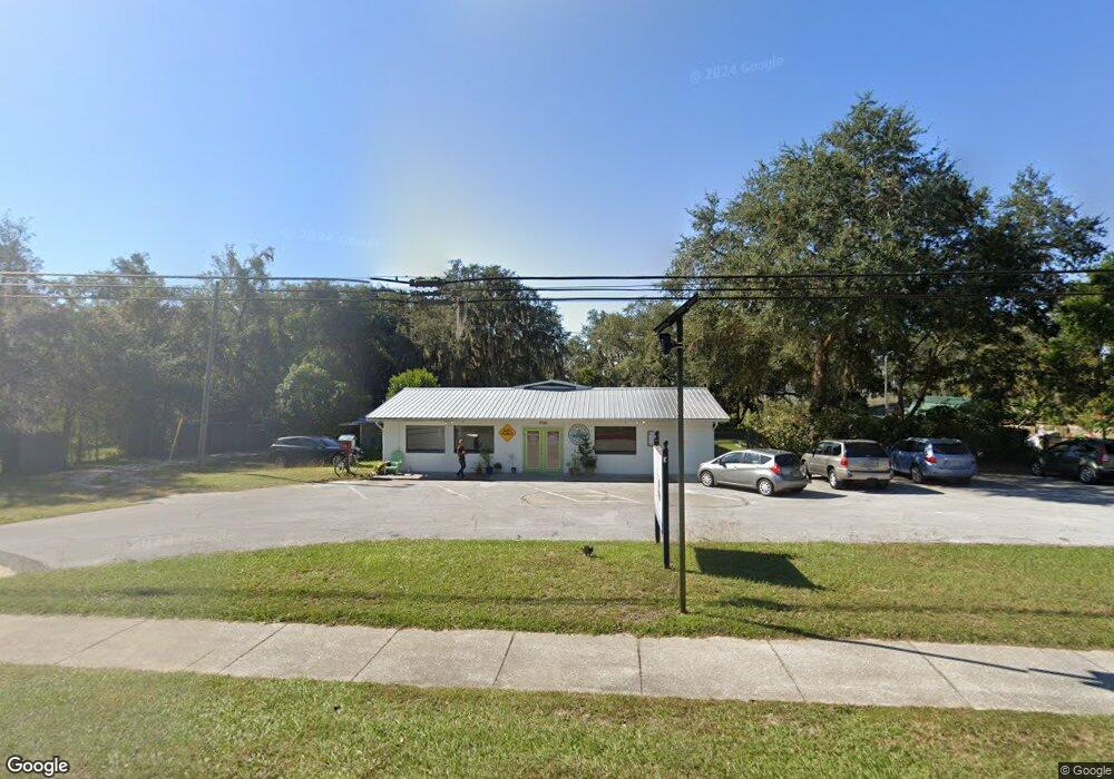
7790 State Route 100 Keystone Heights, FL 32656
Estimated Value: $373,517
3
Beds
2
Baths
905
Sq Ft
$413/Sq Ft
Est. Value
About This Home
This home is located at 7790 State Route 100, Keystone Heights, FL 32656 and is currently estimated at $373,517, approximately $412 per square foot. 7790 State Route 100 is a home located in Clay County with nearby schools including Keystone Heights Elementary School and Keystone Heights Junior/Senior High School.
Ownership History
Date
Name
Owned For
Owner Type
Purchase Details
Closed on
Jul 3, 2019
Sold by
Keystone Pack Rat Llc
Bought by
Florida District Of The Wesleyan Church
Current Estimated Value
Purchase Details
Closed on
Sep 26, 2006
Sold by
Lauzurique Alma J and Rutledge Richard H
Bought by
Keystone Pack Rat Llc
Home Financials for this Owner
Home Financials are based on the most recent Mortgage that was taken out on this home.
Original Mortgage
$220,000
Interest Rate
6.46%
Mortgage Type
Purchase Money Mortgage
Create a Home Valuation Report for This Property
The Home Valuation Report is an in-depth analysis detailing your home's value as well as a comparison with similar homes in the area
Home Values in the Area
Average Home Value in this Area
Purchase History
| Date | Buyer | Sale Price | Title Company |
|---|---|---|---|
| Florida District Of The Wesleyan Church | $230,000 | Attorney | |
| Keystone Pack Rat Llc | $200,000 | Keystone Title Of Keystone H |
Source: Public Records
Mortgage History
| Date | Status | Borrower | Loan Amount |
|---|---|---|---|
| Previous Owner | Keystone Pack Rat Llc | $220,000 |
Source: Public Records
Tax History Compared to Growth
Tax History
| Year | Tax Paid | Tax Assessment Tax Assessment Total Assessment is a certain percentage of the fair market value that is determined by local assessors to be the total taxable value of land and additions on the property. | Land | Improvement |
|---|---|---|---|---|
| 2024 | -- | $172,535 | $51,975 | $120,560 |
| 2023 | $0 | $167,975 | $51,975 | $116,000 |
| 2022 | $0 | $145,656 | $31,185 | $114,471 |
| 2021 | $0 | $145,276 | $31,185 | $114,091 |
| 2020 | $0 | $109,212 | $31,185 | $78,027 |
| 2019 | $1,519 | $98,718 | $31,185 | $67,533 |
| 2018 | $1,424 | $97,915 | $0 | $0 |
| 2017 | $1,431 | $96,598 | $0 | $0 |
| 2016 | $1,444 | $95,293 | $0 | $0 |
| 2015 | $1,459 | $93,853 | $0 | $0 |
| 2014 | $1,704 | $93,530 | $0 | $0 |
Source: Public Records
Map
Nearby Homes
- 6376 Swarthmore Dr
- 6509 Baylor Ave
- 6333 Tulsa Dr
- 6314 Wofford Dr
- 6313 Wofford Dr
- 6376 Bucknell Ave
- 6504 Baylor Ave
- 6312 Drake Ave
- 6291 Drake Ave
- 7210 Skidmore St
- 6312 Bowdoin Ave
- 561 SE Lakeview Dr
- 6283 Vanderbilt Dr
- 6326 Vanderbilt Dr
- 6272 Vanderbilt Dr
- 7202 Notre Dame St
- 560 Live Oak Ave
- 360 SE Lakeview Dr
- 7315 Yale St
- 6759 Linwood Dr
- 7790 Florida 100
- 7780 State Road 100
- 7790 State Road 100
- 7772 Florida 100
- 7804 State Road 100
- 6392 Swarthmore Dr
- 6388 Swarthmore Dr
- 7772 State Route 100
- 7772 State Road 100
- 7804 Florida 100
- 6383 Dennison Ave
- 7760 State Road 100
- Lake Geneva Oaks Cir
- 6377 Cascade Dr
- 6408 Swarthmore Dr
- 6389 Cascade Dr
- 6377 Dennison Ave
- 6393 Cascade Dr
- ??? Cascade Dr
- 6364 Cascade Dr