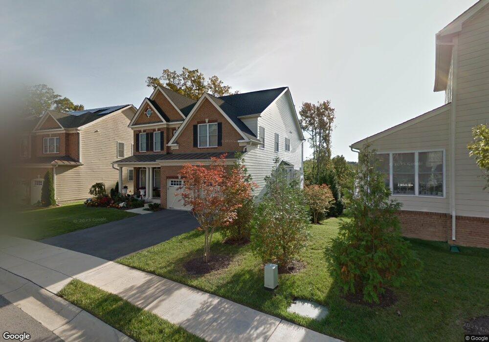
7795 Crystal Brook Way Hanover, MD 21076
Estimated Value: $891,465 - $1,064,000
--
Bed
3
Baths
4,149
Sq Ft
$235/Sq Ft
Est. Value
About This Home
This home is located at 7795 Crystal Brook Way, Hanover, MD 21076 and is currently estimated at $976,116, approximately $235 per square foot. 7795 Crystal Brook Way is a home located in Anne Arundel County with nearby schools including Hebron-Harman Elementary School, MacArthur Middle School, and Meade High School.
Ownership History
Date
Name
Owned For
Owner Type
Purchase Details
Closed on
Jan 8, 2015
Sold by
Toll Md Iv Llc
Bought by
Mohsin Mukohl B and Prasad Pritika
Current Estimated Value
Home Financials for this Owner
Home Financials are based on the most recent Mortgage that was taken out on this home.
Original Mortgage
$603,500
Outstanding Balance
$464,293
Interest Rate
3.96%
Mortgage Type
New Conventional
Estimated Equity
$511,823
Create a Home Valuation Report for This Property
The Home Valuation Report is an in-depth analysis detailing your home's value as well as a comparison with similar homes in the area
Home Values in the Area
Average Home Value in this Area
Purchase History
| Date | Buyer | Sale Price | Title Company |
|---|---|---|---|
| Mohsin Mukohl B | $714,347 | First American Title |
Source: Public Records
Mortgage History
| Date | Status | Borrower | Loan Amount |
|---|---|---|---|
| Open | Mohsin Mukohl B | $603,500 |
Source: Public Records
Tax History Compared to Growth
Tax History
| Year | Tax Paid | Tax Assessment Tax Assessment Total Assessment is a certain percentage of the fair market value that is determined by local assessors to be the total taxable value of land and additions on the property. | Land | Improvement |
|---|---|---|---|---|
| 2025 | $8,213 | $862,500 | $173,800 | $688,700 |
| 2024 | $8,213 | $799,733 | $0 | $0 |
| 2023 | $7,486 | $736,967 | $0 | $0 |
| 2022 | $7,402 | $674,200 | $123,000 | $551,200 |
| 2021 | $14,526 | $658,767 | $0 | $0 |
| 2020 | $7,090 | $643,333 | $0 | $0 |
| 2019 | $4,785 | $627,900 | $163,000 | $464,900 |
| 2018 | $6,367 | $627,900 | $163,000 | $464,900 |
| 2017 | $6,696 | $627,900 | $0 | $0 |
| 2016 | -- | $714,500 | $0 | $0 |
| 2015 | -- | $707,833 | $0 | $0 |
| 2014 | -- | $32,167 | $0 | $0 |
Source: Public Records
Map
Nearby Homes
- 2642 Shade Branch Rd
- 2727 Amber Crest Rd
- 7926 Silver Oak Rd
- 7951 Silver Oak Rd
- 7611 Elmcrest Rd
- 7560 Newmanstown Dr
- 2616 Hardaway Cir
- 8357 Meadowood Dr
- 7808 Union Hill Dr
- 2270 Haw River Rd
- 7147 Wedmore Ct
- 2914 Middleham Ct
- 8221 Meadowood Dr
- 7652 Telamon Way
- 7444 Burnside Way
- 7215 Winding Hills Dr
- 2932 Hebron Ln
- 7907 Chalice Rd
- 7591 Taunton Ct
- Maguire Plan at Shipley Homestead
- 7793 Crystal Brook Way
- 2402 Clubhouse Dr
- 2404 Clubhouse Dr
- 2406 Clubhouse Dr
- 7791 Crystal Brook Way
- 2340 Asberry Rd
- 2341 Asberry Rd
- 2408 Clubhouse Dr
- 2339 Asberry Rd
- 2338 Asberry Rd
- 2336 Asberry Rd
- 2337 Asberry Rd
- 2335 Asberry Rd
- 7787 Crystal Brook Way
- 2334 Asberry Rd
- 2405 Clubhouse Dr
- 2403 Clubhouse Dr
- 2401 Clubhouse Dr
- 2333 Asberry Rd
- 2407 Clubhouse Dr