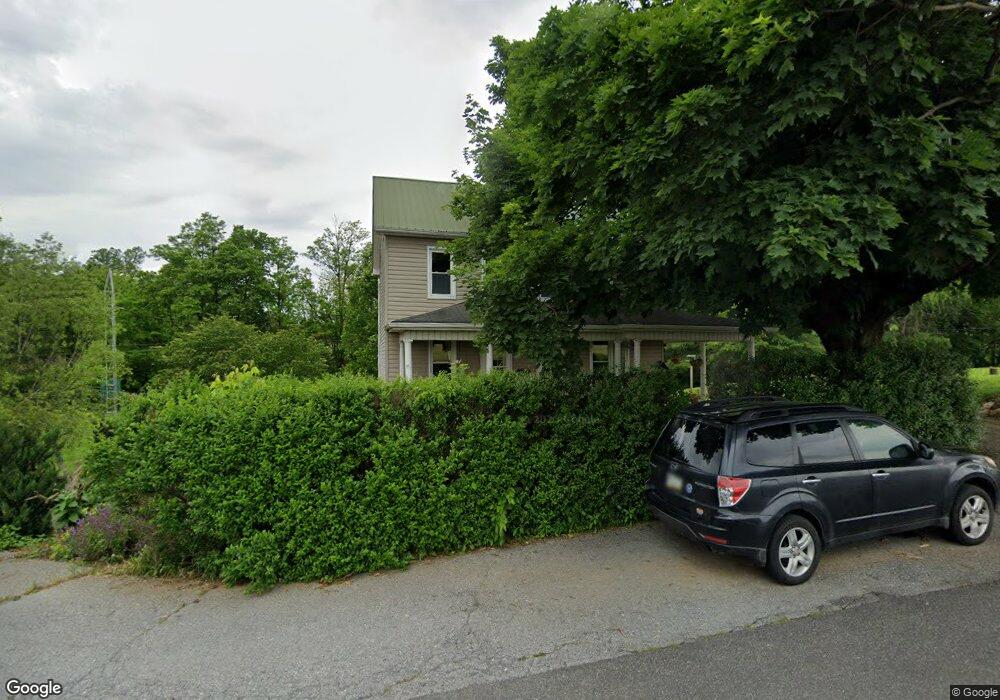
7795 Wayne Hwy Waynesboro, PA 17268
Estimated Value: $211,268 - $286,000
--
Bed
--
Bath
1,808
Sq Ft
$140/Sq Ft
Est. Value
About This Home
This home is located at 7795 Wayne Hwy, Waynesboro, PA 17268 and is currently estimated at $253,067, approximately $139 per square foot. 7795 Wayne Hwy is a home with nearby schools including Waynesboro Area Senior High School, St. Andrew Catholic School, and Providence School - Pigeon Hill Building.
Ownership History
Date
Name
Owned For
Owner Type
Purchase Details
Closed on
Dec 11, 2019
Sold by
Halliburton Jennifer E
Bought by
Mcjonathan Rebecca
Current Estimated Value
Home Financials for this Owner
Home Financials are based on the most recent Mortgage that was taken out on this home.
Original Mortgage
$76,959
Outstanding Balance
$67,983
Interest Rate
3.7%
Mortgage Type
New Conventional
Estimated Equity
$185,084
Create a Home Valuation Report for This Property
The Home Valuation Report is an in-depth analysis detailing your home's value as well as a comparison with similar homes in the area
Home Values in the Area
Average Home Value in this Area
Purchase History
| Date | Buyer | Sale Price | Title Company |
|---|---|---|---|
| Mcjonathan Rebecca | $137,500 | Amrock Inc |
Source: Public Records
Mortgage History
| Date | Status | Borrower | Loan Amount |
|---|---|---|---|
| Open | Mcjonathan Rebecca | $76,959 |
Source: Public Records
Tax History Compared to Growth
Tax History
| Year | Tax Paid | Tax Assessment Tax Assessment Total Assessment is a certain percentage of the fair market value that is determined by local assessors to be the total taxable value of land and additions on the property. | Land | Improvement |
|---|---|---|---|---|
| 2025 | $1,640 | $11,240 | $850 | $10,390 |
| 2024 | $1,589 | $11,240 | $850 | $10,390 |
| 2023 | $1,546 | $11,240 | $850 | $10,390 |
| 2022 | $1,501 | $11,240 | $850 | $10,390 |
| 2021 | $716 | $5,530 | $850 | $4,680 |
| 2020 | $716 | $5,530 | $850 | $4,680 |
| 2019 | $700 | $5,530 | $850 | $4,680 |
| 2018 | $676 | $5,530 | $850 | $4,680 |
| 2017 | $661 | $5,530 | $850 | $4,680 |
| 2016 | $158 | $5,530 | $850 | $4,680 |
| 2015 | $148 | $5,530 | $850 | $4,680 |
| 2014 | $148 | $5,530 | $850 | $4,680 |
Source: Public Records
Map
Nearby Homes
- 8655 Wayne Hwy
- 5434 Manheim Rd
- 6159 Orphanage Rd
- 6456 Wayne Hwy
- 7468 Anthony Hwy
- 5118 Burkholder Rd
- 5490 Honey Rock Ct
- 8652 Mormon Church Rd
- 286 Verdier St
- 9227 Grindstone Hill Rd
- 1921 Hartzok Rd
- 8620 Monns Gap Rd
- 6 S Main St
- 207 University Dr
- 111 Poplar St
- 2582 Guilford Station Rd
- 5377 Harrier Way
- 5385 Harrier Way
- TBD Harrier Way
- 7711 Wayne Hwy
- 7553 Rock Hill Rd
- 7525 Rock Hill Rd
- 7444 Rock Hill Rd
- 7972 Wayne Hwy
- 7987 Wayne Hwy
- 7987 Wayne Hwy
- 7987 Wayne Hwy
- 7557 Rock Hill Rd
- 7432 Rock Hill Rd
- 7460 Wayne Hwy
- 7440 Rock Hill Rd
- 7746 Burkholder Rd
- 8114 Wayne Hwy
- 7500 Wayne Hwy
- 4574 Manheim Rd
- 4500 Manheim Rd
- 4460 Manheim Rd
- 4626 Manheim Rd
- 7343 Wayne Hwy