7796 N Bronco Dr Eagle Mountain, UT 84005
Estimated Value: $479,085 - $489,000
3
Beds
3
Baths
2,362
Sq Ft
$205/Sq Ft
Est. Value
About This Home
This home is located at 7796 N Bronco Dr, Eagle Mountain, UT 84005 and is currently estimated at $484,028, approximately $204 per square foot. 7796 N Bronco Dr is a home located in Utah County with nearby schools including Silver Lake Elementary School, Vista Heights Middle School, and Westlake High School.
Ownership History
Date
Name
Owned For
Owner Type
Purchase Details
Closed on
Dec 2, 2020
Sold by
Baird Brian C and Baird Carin J
Bought by
Adams David and Adams Madison
Current Estimated Value
Home Financials for this Owner
Home Financials are based on the most recent Mortgage that was taken out on this home.
Original Mortgage
$368,600
Outstanding Balance
$330,492
Interest Rate
2.8%
Mortgage Type
New Conventional
Estimated Equity
$153,536
Purchase Details
Closed on
Jul 13, 2016
Sold by
Fieldstone Silverlake Llc
Bought by
Baird Brian C and Baird Carie J
Home Financials for this Owner
Home Financials are based on the most recent Mortgage that was taken out on this home.
Original Mortgage
$267,120
Interest Rate
3.66%
Mortgage Type
VA
Create a Home Valuation Report for This Property
The Home Valuation Report is an in-depth analysis detailing your home's value as well as a comparison with similar homes in the area
Home Values in the Area
Average Home Value in this Area
Purchase History
| Date | Buyer | Sale Price | Title Company |
|---|---|---|---|
| Adams David | -- | Provo Abstract Company Inc | |
| Baird Brian C | -- | Bartlett Title Ins Agen |
Source: Public Records
Mortgage History
| Date | Status | Borrower | Loan Amount |
|---|---|---|---|
| Open | Adams David | $368,600 | |
| Previous Owner | Baird Brian C | $267,120 |
Source: Public Records
Tax History
| Year | Tax Paid | Tax Assessment Tax Assessment Total Assessment is a certain percentage of the fair market value that is determined by local assessors to be the total taxable value of land and additions on the property. | Land | Improvement |
|---|---|---|---|---|
| 2025 | $2,112 | $245,520 | -- | -- |
| 2024 | $2,112 | $228,195 | $0 | $0 |
| 2023 | $2,039 | $237,985 | $0 | $0 |
| 2022 | $2,112 | $240,735 | $0 | $0 |
| 2021 | $1,849 | $316,400 | $86,300 | $230,100 |
| 2020 | $1,760 | $293,900 | $79,900 | $214,000 |
| 2019 | $1,520 | $263,000 | $76,900 | $186,100 |
| 2018 | $1,416 | $231,800 | $70,000 | $161,800 |
| 2017 | $1,284 | $113,025 | $0 | $0 |
| 2016 | $637 | $52,500 | $0 | $0 |
Source: Public Records
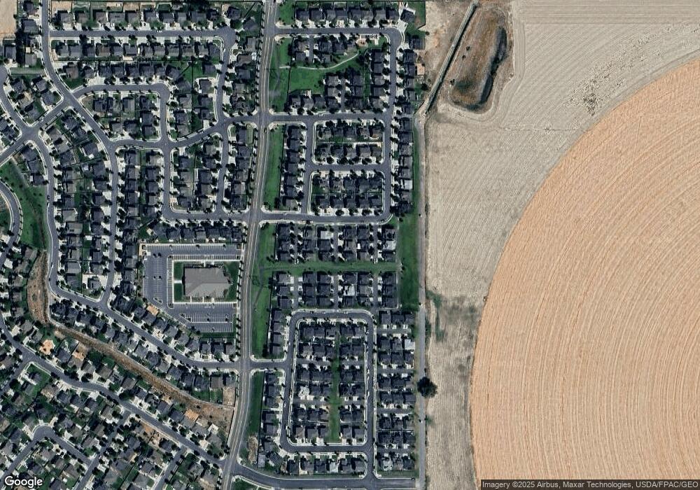
Map
Nearby Homes
- 5163 E Leia Ln Unit 179
- 5163 E Leia Ln
- 5091 E Flat Pass Way
- 5164 E Rio Grande Way
- 7565 N Hutch Ln
- 7560 N Hutch Ln
- 1441 W Stone Gate Dr
- 4636 E Jimmy Ln
- 7692 N Decrescendo Dr
- 7410 N Cottage Ln
- 82 N Independence Way
- 1408 W Quailhill Rd
- 68 Granite Park Dr
- 7580 Evans Dr
- 4901 E Silver Ridge Rd
- 4609 E Silver Creek Way
- 166 N Diamond Back Dr
- 7217 N Clover Leaf Ln
- 4552 Silver Ridge Rd
- 7152 N Brook Ridge
- 7786 N Bronco Dr
- 7806 N Bronco Dr
- 7799 N Ranger Dr
- 7789 N Ranger Dr
- 7809 N Ranger Dr
- 7797 N Bronco Dr
- 7787 N Bronco Dr
- 7807 N Bronco Dr
- 7770 N Maverick Way
- 7771 N Rusty Spur Ct
- 7771 N Rusty Spur Ct Unit 1219
- 7784 N Rider Dr
- 7794 N Rider Dr
- 7769 N Maverick Way
- 7769 Maverick Way
- 7798 N Ranger Dr
- 5127 E Moon River Dr
- 7804 N Rider Dr
- 7808 N Ranger Dr
- 7788 Ranger Dr
Your Personal Tour Guide
Ask me questions while you tour the home.