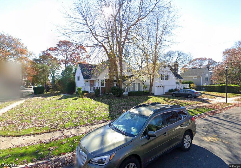
78 Alfred Rd E Merrick, NY 11566
Estimated Value: $731,000 - $781,343
3
Beds
2
Baths
1,192
Sq Ft
$634/Sq Ft
Est. Value
About This Home
This home is located at 78 Alfred Rd E, Merrick, NY 11566 and is currently estimated at $756,172, approximately $634 per square foot. 78 Alfred Rd E is a home located in Nassau County with nearby schools including Merrick Avenue Middle School, Sanford H Calhoun High School, and Grace Christian Academy.
Ownership History
Date
Name
Owned For
Owner Type
Purchase Details
Closed on
May 23, 2023
Sold by
Stewart Andrea and Stewart Joel B
Bought by
Meisel Jessica and Wasserman Andrew
Current Estimated Value
Home Financials for this Owner
Home Financials are based on the most recent Mortgage that was taken out on this home.
Original Mortgage
$559,200
Outstanding Balance
$543,651
Interest Rate
6.39%
Mortgage Type
New Conventional
Estimated Equity
$212,521
Create a Home Valuation Report for This Property
The Home Valuation Report is an in-depth analysis detailing your home's value as well as a comparison with similar homes in the area
Home Values in the Area
Average Home Value in this Area
Purchase History
| Date | Buyer | Sale Price | Title Company |
|---|---|---|---|
| Meisel Jessica | $699,000 | Westcor Land Title Ins Co |
Source: Public Records
Mortgage History
| Date | Status | Borrower | Loan Amount |
|---|---|---|---|
| Open | Meisel Jessica | $559,200 |
Source: Public Records
Tax History
| Year | Tax Paid | Tax Assessment Tax Assessment Total Assessment is a certain percentage of the fair market value that is determined by local assessors to be the total taxable value of land and additions on the property. | Land | Improvement |
|---|---|---|---|---|
| 2025 | $16,665 | $549 | $225 | $324 |
| 2024 | $3,774 | $549 | $225 | $324 |
Source: Public Records
Map
Nearby Homes
- 16 Margaret Blvd
- 19 Margaret Blvd
- 1911 Carroll Ave
- 1931 Miller Place
- 24 Loines Ave
- 138 Hewlett Ave
- 2 Garfield St
- 132 Webster St
- 1715 Remson Ave
- 236 Thelma Ave
- 221 Thelma Ave
- 70 Nancy Blvd
- 18 Helene Ave
- TBD Camp Ave
- 1729 Gormley Ave
- 1741 Bushwick Ave
- 2203 Washington St
- 1680 Lake Ave
- 1811 Bedford Ave
- 1772 Rose St
Your Personal Tour Guide
Ask me questions while you tour the home.