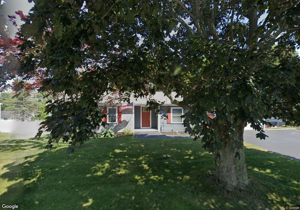
78 Almy Rd Somerset, MA 02726
Pottersville NeighborhoodEstimated Value: $498,000 - $558,000
3
Beds
2
Baths
1,272
Sq Ft
$415/Sq Ft
Est. Value
About This Home
This home is located at 78 Almy Rd, Somerset, MA 02726 and is currently estimated at $527,926, approximately $415 per square foot. 78 Almy Rd is a home located in Bristol County with nearby schools including North Elementary School, Somerset Middle School, and St. Michael's School.
Ownership History
Date
Name
Owned For
Owner Type
Purchase Details
Closed on
Mar 1, 2018
Sold by
Costa Anthony E and Costa Allison B
Bought by
Affonso Patricia
Current Estimated Value
Home Financials for this Owner
Home Financials are based on the most recent Mortgage that was taken out on this home.
Original Mortgage
$240,000
Outstanding Balance
$203,513
Interest Rate
4.04%
Mortgage Type
New Conventional
Estimated Equity
$324,413
Purchase Details
Closed on
Aug 20, 2014
Sold by
Costa Anthony
Bought by
Costa Allison B and Costa Anthony E
Purchase Details
Closed on
Feb 25, 2011
Sold by
Andrade Kenneth J and Andrade Pamela J
Bought by
Costa Anthony
Home Financials for this Owner
Home Financials are based on the most recent Mortgage that was taken out on this home.
Original Mortgage
$167,000
Interest Rate
4.75%
Mortgage Type
Purchase Money Mortgage
Create a Home Valuation Report for This Property
The Home Valuation Report is an in-depth analysis detailing your home's value as well as a comparison with similar homes in the area
Home Values in the Area
Average Home Value in this Area
Purchase History
| Date | Buyer | Sale Price | Title Company |
|---|---|---|---|
| Affonso Patricia | $300,000 | -- | |
| Affonso Patricia | $300,000 | -- | |
| Costa Allison B | -- | -- | |
| Costa Allison B | -- | -- | |
| Costa Anthony | $209,000 | -- | |
| Costa Anthony | $209,000 | -- |
Source: Public Records
Mortgage History
| Date | Status | Borrower | Loan Amount |
|---|---|---|---|
| Open | Affonso Patricia | $240,000 | |
| Closed | Affonso Patricia | $240,000 | |
| Previous Owner | Costa Anthony | $167,000 |
Source: Public Records
Tax History Compared to Growth
Tax History
| Year | Tax Paid | Tax Assessment Tax Assessment Total Assessment is a certain percentage of the fair market value that is determined by local assessors to be the total taxable value of land and additions on the property. | Land | Improvement |
|---|---|---|---|---|
| 2025 | $6,048 | $454,700 | $180,000 | $274,700 |
| 2024 | $5,625 | $439,800 | $180,000 | $259,800 |
| 2023 | $4,963 | $391,400 | $156,300 | $235,100 |
| 2022 | $4,588 | $345,200 | $134,900 | $210,300 |
| 2021 | $4,629 | $315,300 | $121,900 | $193,400 |
| 2020 | $4,580 | $300,900 | $121,900 | $179,000 |
| 2019 | $5,229 | $286,500 | $121,900 | $164,600 |
| 2018 | $4,403 | $259,600 | $117,900 | $141,700 |
| 2017 | $4,270 | $245,400 | $112,500 | $132,900 |
| 2016 | $4,297 | $245,400 | $112,500 | $132,900 |
| 2015 | $3,944 | $227,300 | $107,400 | $119,900 |
| 2014 | $5,596 | $231,700 | $104,300 | $127,400 |
Source: Public Records
Map
Nearby Homes
- 64 Midland Rd
- 95 Brookside Rd
- 604 Lafayette St
- 601 Eastview Ave
- 112 Rounseville Ave
- 190 Gibbs St
- 224 Chace St
- 34 Barry Ave
- 69 Denham Ave
- 64 Denham Ave
- 2546 County St
- 154 Tess Abigail Ln
- 138 Bourn Ave
- 65 Marvel St
- 0 Bark St Unit 73152576
- 0 Bark St Unit 1342599
- 61 Stevens Rd
- 135 Grove Ave
- 287 Bark St
- 435 Fairway Dr