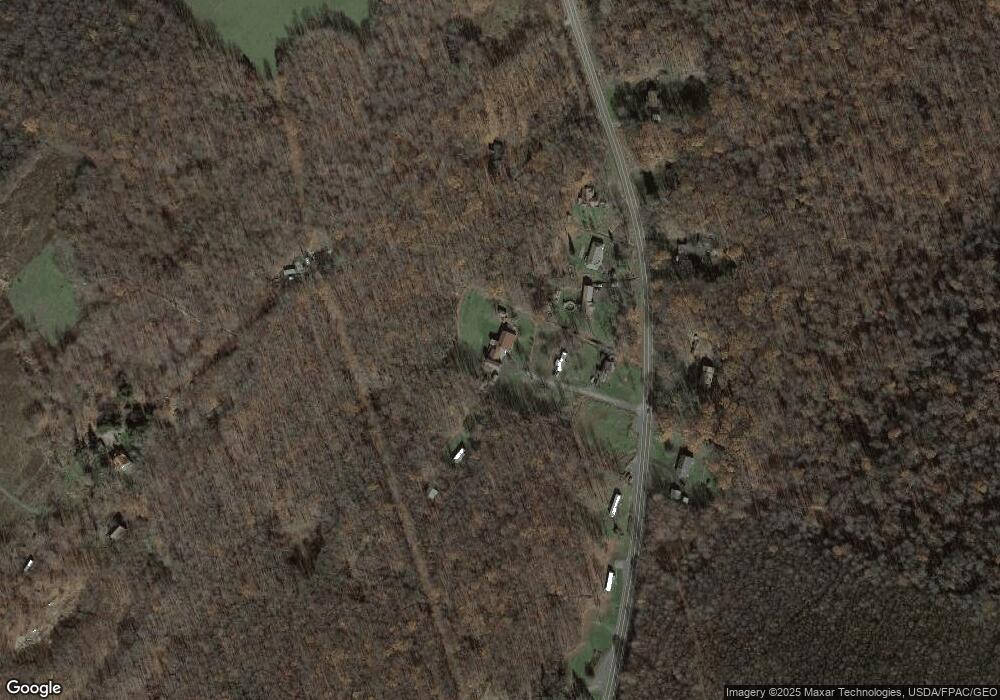
78 Apache Trail Oakland, MD 21550
Estimated Value: $124,000 - $276,000
--
Bed
1
Bath
1,416
Sq Ft
$158/Sq Ft
Est. Value
About This Home
This home is located at 78 Apache Trail, Oakland, MD 21550 and is currently estimated at $224,170, approximately $158 per square foot. 78 Apache Trail is a home located in Garrett County with nearby schools including Yough Glades Elementary School, Swan Meadow School, and Southern Middle School.
Ownership History
Date
Name
Owned For
Owner Type
Purchase Details
Closed on
Feb 4, 2025
Sold by
Hardesty Mary and Hardesty Bushrod K
Bought by
Hardesty Bushrod K and Hardesty Tiffany M
Current Estimated Value
Home Financials for this Owner
Home Financials are based on the most recent Mortgage that was taken out on this home.
Original Mortgage
$168,000
Outstanding Balance
$163,895
Interest Rate
6%
Mortgage Type
Balloon
Estimated Equity
$60,275
Purchase Details
Closed on
Jul 13, 1990
Sold by
Mccartney Linda
Bought by
Hardesty Bushrod K and Hardesty Mary J
Home Financials for this Owner
Home Financials are based on the most recent Mortgage that was taken out on this home.
Original Mortgage
$20,000
Interest Rate
10.11%
Create a Home Valuation Report for This Property
The Home Valuation Report is an in-depth analysis detailing your home's value as well as a comparison with similar homes in the area
Home Values in the Area
Average Home Value in this Area
Purchase History
| Date | Buyer | Sale Price | Title Company |
|---|---|---|---|
| Hardesty Bushrod K | $127,096 | None Listed On Document | |
| Hardesty Bushrod K | $127,096 | None Listed On Document | |
| Hardesty Bushrod K | $20,000 | -- |
Source: Public Records
Mortgage History
| Date | Status | Borrower | Loan Amount |
|---|---|---|---|
| Open | Hardesty Bushrod K | $168,000 | |
| Closed | Hardesty Bushrod K | $168,000 | |
| Previous Owner | Hardesty Bushrod K | $20,000 |
Source: Public Records
Tax History Compared to Growth
Tax History
| Year | Tax Paid | Tax Assessment Tax Assessment Total Assessment is a certain percentage of the fair market value that is determined by local assessors to be the total taxable value of land and additions on the property. | Land | Improvement |
|---|---|---|---|---|
| 2025 | $2,336 | $206,400 | $28,300 | $178,100 |
| 2024 | -- | $191,000 | $0 | $0 |
| 2023 | $0 | $175,600 | $0 | $0 |
| 2022 | $1,871 | $160,200 | $28,200 | $132,000 |
| 2021 | $30 | $157,233 | $0 | $0 |
| 2020 | $30 | $154,267 | $0 | $0 |
| 2019 | $30 | $151,300 | $28,200 | $123,100 |
| 2018 | $30 | $151,300 | $28,200 | $123,100 |
| 2017 | $30 | $151,300 | $0 | $0 |
| 2016 | -- | $151,300 | $0 | $0 |
| 2015 | -- | $149,867 | $0 | $0 |
| 2014 | -- | $148,433 | $0 | $0 |
Source: Public Records
Map
Nearby Homes
- 0 Bethlehem Rd
- 1570 Garrett Rd
- 210 Seneca Ave
- Lots 26-29 E Third Ave
- Lot 1 Cherrywood Dr
- 102 Roanoke Ave
- 18 Hoye Crest Rd
- 104 G St
- 204 E St
- 809 N St
- 723 Kings Ct
- 1737 King Wildesen Rd
- 127 S Oakhall Dr
- 1256 Boiling Spring Rd
- 415 Nazelrod Rd
- 609 Southern Pines Dr
- 355 Lonesome Pine Rd
- 1056 Sunrise Dr
- 445 Dennett Rd
- 105 Main St
- 6625 Gorman Rd
- 28 Apache Trail
- 6663 Gorman Rd
- 6699 Gorman Rd
- 6761 Gorman Rd
- 6515 Gorman Rd
- 6656 Gorman Rd
- 6600 Gorman Rd
- 6799 Gorman Rd
- 6615 Gorman Rd
- 6706 Gorman Rd
- 6542 Gorman Rd
- 6471 Gorman Rd
- 6748 Gorman Rd
- 6381 Gorman Rd
- 6801 Gorman Rd
- 6899 Gorman Rd
- 4 Bethlehem Rd
- 54 Bethlehem Rd
- 6945 Gorman Rd
