78 Baltusrol Way Far Hills, NJ 07931
Estimated Value: $1,987,000 - $2,449,000
--
Bed
--
Bath
5,570
Sq Ft
$401/Sq Ft
Est. Value
About This Home
This home is located at 78 Baltusrol Way, Far Hills, NJ 07931 and is currently estimated at $2,233,746, approximately $401 per square foot. 78 Baltusrol Way is a home located in Somerset County with nearby schools including Oak Street Elementary School, William Annin Middle School, and Ridge High School.
Ownership History
Date
Name
Owned For
Owner Type
Purchase Details
Closed on
Jul 25, 2003
Sold by
Collins Harry
Bought by
Lim Terrance and Lim Jo Anne
Current Estimated Value
Home Financials for this Owner
Home Financials are based on the most recent Mortgage that was taken out on this home.
Original Mortgage
$1,100,000
Outstanding Balance
$468,370
Interest Rate
5.28%
Estimated Equity
$1,765,376
Create a Home Valuation Report for This Property
The Home Valuation Report is an in-depth analysis detailing your home's value as well as a comparison with similar homes in the area
Home Values in the Area
Average Home Value in this Area
Purchase History
| Date | Buyer | Sale Price | Title Company |
|---|---|---|---|
| Lim Terrance | $1,580,000 | -- |
Source: Public Records
Mortgage History
| Date | Status | Borrower | Loan Amount |
|---|---|---|---|
| Open | Lim Terrance | $1,100,000 |
Source: Public Records
Tax History Compared to Growth
Tax History
| Year | Tax Paid | Tax Assessment Tax Assessment Total Assessment is a certain percentage of the fair market value that is determined by local assessors to be the total taxable value of land and additions on the property. | Land | Improvement |
|---|---|---|---|---|
| 2025 | $33,942 | $2,036,100 | $485,000 | $1,551,100 |
| 2024 | $33,942 | $1,907,900 | $485,000 | $1,422,900 |
| 2023 | $31,425 | $1,666,200 | $445,000 | $1,221,200 |
| 2022 | $29,407 | $1,462,300 | $445,000 | $1,017,300 |
| 2021 | $29,743 | $1,409,600 | $445,000 | $964,600 |
| 2020 | $28,876 | $1,379,000 | $445,000 | $934,000 |
| 2019 | $30,160 | $1,482,800 | $445,000 | $1,037,800 |
| 2018 | $30,231 | $1,507,800 | $470,000 | $1,037,800 |
| 2017 | $31,832 | $1,600,400 | $490,000 | $1,110,400 |
| 2016 | $31,358 | $1,607,300 | $490,000 | $1,117,300 |
| 2015 | $30,669 | $1,600,700 | $470,000 | $1,130,700 |
| 2014 | $30,495 | $1,576,800 | $470,000 | $1,106,800 |
Source: Public Records
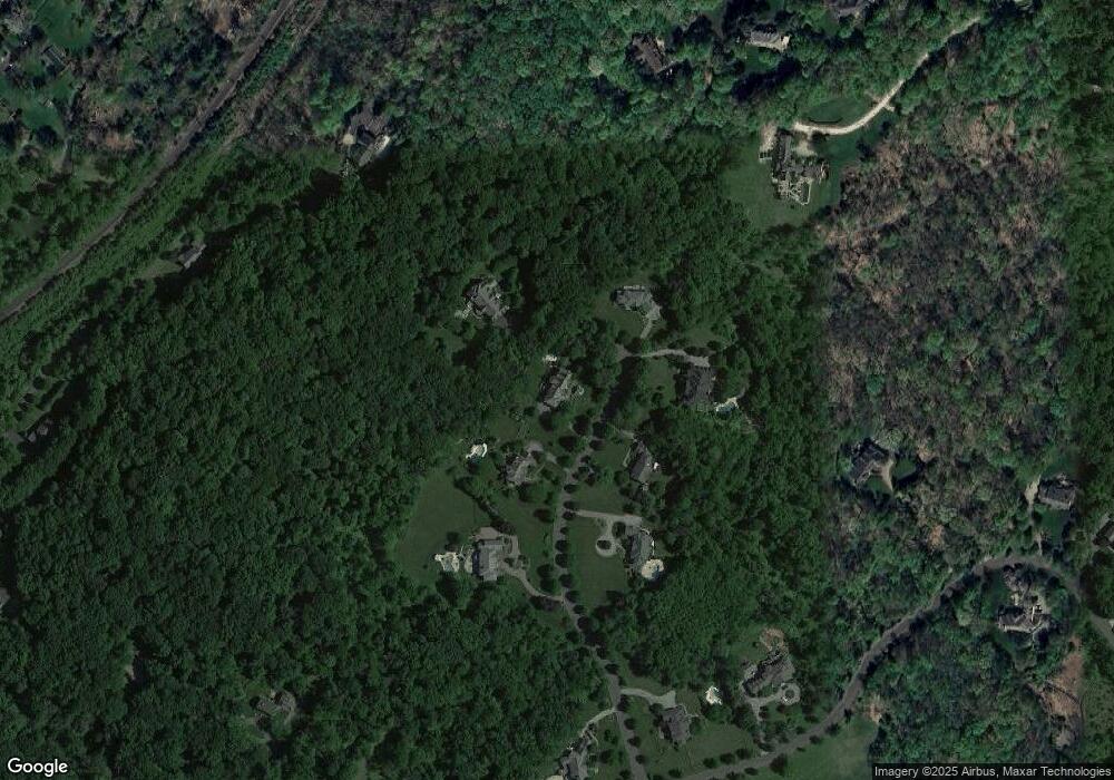
Map
Nearby Homes
- 23 Charlotte Hill Dr
- 570 Mine Brook Rd
- 19 Emily Rd
- 496 Mine Brook Rd
- 453 Mine Brook Rd
- 365 Mine Brook Rd
- 92 Whitenack Rd
- 20 Whitaker Ln
- 71 Mount Harmony Rd
- 63 Charles Rd
- 101 Rippling Brook Way
- 211 Private Rd
- 136 2 Mount Harmony Rd
- 133 Rippling Brook Way
- 12 Wayne Terrace
- 50 Hidden Valley Rd
- 0 Private Rd Unit 3966400
- 209 Lake Rd
- 51 Boulderwood Dr
- 12 Tamarisk Ct
- 66 Baltusrol Way
- 24 Charlotte Hill Dr
- 71 Baltusrol Way
- 79 Baltusrol Way
- 83 Baltusrol Way
- 56 Baltusrol Way
- 59 Baltusrol Way
- 392 Whitenack Rd
- 40 Canoe Brook Ln
- 42 Colts Glen Ln
- 39 Baltusrol Way
- 20 Canoe Brook Ln
- 34 Baltusrol Way
- 390 Whitenack Rd
- 22 Charlotte Hill Dr
- 21 Charlotte Hill Dr
- 20 Charlotte Hill Dr
- 360 Whitenack Rd
- 23 Baltusrol Way
- 368 Whitenack Rd