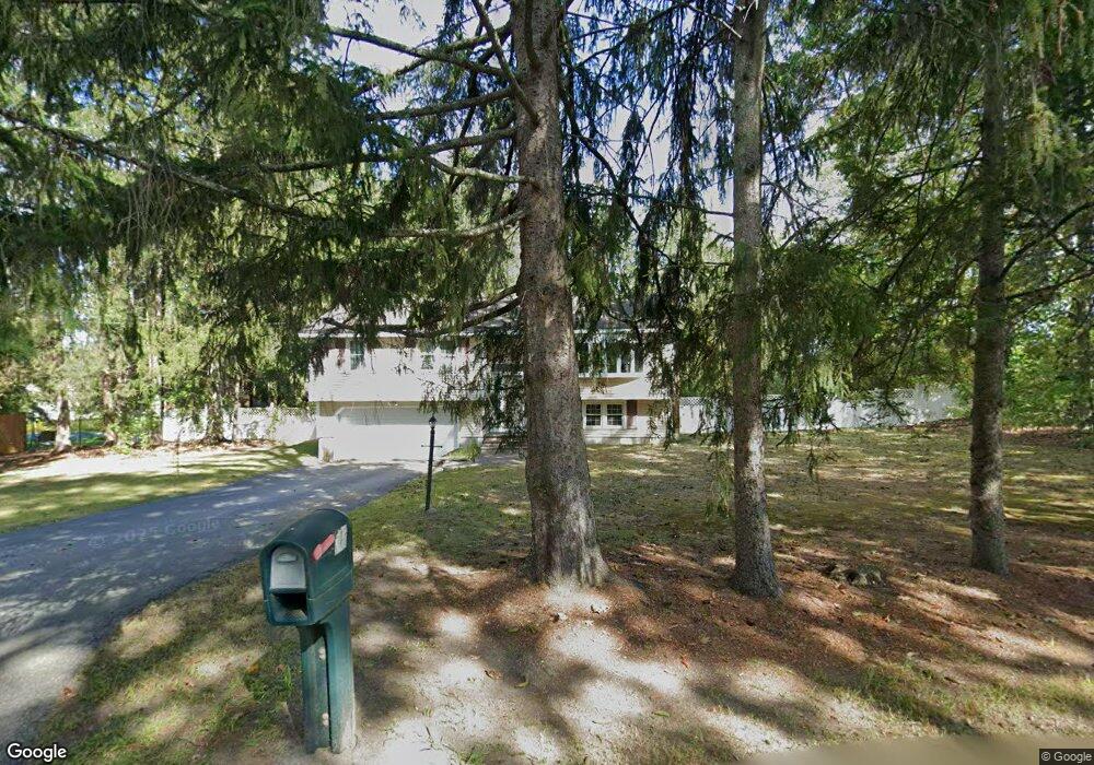
78 Beaverbrook Rd Westford, MA 01886
Estimated Value: $595,334 - $678,000
3
Beds
2
Baths
1,132
Sq Ft
$558/Sq Ft
Est. Value
About This Home
This home is located at 78 Beaverbrook Rd, Westford, MA 01886 and is currently estimated at $631,834, approximately $558 per square foot. 78 Beaverbrook Rd is a home located in Middlesex County with nearby schools including Col John Robinson, John A. Crisafulli Elementary School, and Blanchard Middle School.
Ownership History
Date
Name
Owned For
Owner Type
Purchase Details
Closed on
Jun 6, 2014
Sold by
Shaughnessy Diane V
Bought by
Diane V Shaughnessy T and Shaughnessy Diane V
Current Estimated Value
Purchase Details
Closed on
Mar 1, 1968
Bought by
Diane V Shaughnessy T
Create a Home Valuation Report for This Property
The Home Valuation Report is an in-depth analysis detailing your home's value as well as a comparison with similar homes in the area
Home Values in the Area
Average Home Value in this Area
Purchase History
| Date | Buyer | Sale Price | Title Company |
|---|---|---|---|
| Diane V Shaughnessy T | -- | -- | |
| Diane V Shaughnessy T | -- | -- |
Source: Public Records
Mortgage History
| Date | Status | Borrower | Loan Amount |
|---|---|---|---|
| Previous Owner | Diane V Shaughnessy T | $132,000 | |
| Previous Owner | Diane V Shaughnessy T | $140,000 | |
| Previous Owner | Diane V Shaughnessy T | $25,000 | |
| Previous Owner | Diane V Shaughnessy T | $55,000 |
Source: Public Records
Tax History
| Year | Tax Paid | Tax Assessment Tax Assessment Total Assessment is a certain percentage of the fair market value that is determined by local assessors to be the total taxable value of land and additions on the property. | Land | Improvement |
|---|---|---|---|---|
| 2025 | $7,251 | $538,300 | $303,900 | $234,400 |
| 2024 | $7,061 | $512,800 | $289,400 | $223,400 |
| 2023 | $6,828 | $462,600 | $275,700 | $186,900 |
| 2022 | $6,417 | $398,100 | $221,300 | $176,800 |
| 2021 | $6,092 | $366,100 | $221,300 | $144,800 |
| 2020 | $5,980 | $366,200 | $221,300 | $144,900 |
| 2019 | $5,581 | $337,000 | $212,100 | $124,900 |
| 2018 | $5,304 | $327,800 | $202,900 | $124,900 |
| 2017 | $5,168 | $314,900 | $202,900 | $112,000 |
| 2016 | $5,152 | $316,100 | $202,900 | $113,200 |
| 2015 | $5,047 | $310,800 | $202,900 | $107,900 |
| 2014 | $4,970 | $299,400 | $194,800 | $104,600 |
Source: Public Records
Map
Nearby Homes
- 82 Pleasant St
- 20 Honeysuckle Rd
- 66 Patten Rd
- 46 Patten Rd
- 18 Storey St
- 9 Elm St
- Lot 6 Noble Path
- Lot 7 Noble Path
- Lot 13 Monarch Path
- Lot 12 Monarch Path
- 14 Robinson Rd Unit 2
- 41 Flagg Rd
- 12 Patten Rd
- 6 Colonel Rolls Dr
- 9 (Lt 44) Darrell Dr
- 55 Jennifer St
- 91 Jimney Dr Unit 91
- 92 Jimney Dr
- 17 Hartwell Ave
- 23 Orion Way
- 76 Beaverbrook Rd
- 2 True Bean Way
- 2 True Bean Way
- 2R True Bean Way
- 0 Charles Ridge Rd Unit D,E,G,H,I 70320832
- 0 Charles Ridge Rd Unit H 70363466
- 0 Charles Ridge Rd Unit C1 70320794
- 70C Beaverbrook Rd Unit 70C
- 70 Beaverbrook Rd
- 70 Beaverbrook Rd Unit 70
- 901 Hanna Dodge Rd Unit 901
- 904 Hannah Dodge Rd Unit B2
- 904 Hannah Dodge Rd Unit 904
- 905 Hannah Dodge Rd Unit 905
- 1004 Hannah Dodge Rd Unit 1004
- 72 Beaverbrook Rd
- 404 Charles Ridge Rd Unit 1-D
- 401 Charles Ridge Rd Unit 1A
- 402 Charles Ridge Rd Unit 402
- 205 Charles Ridge Rd Unit 2B