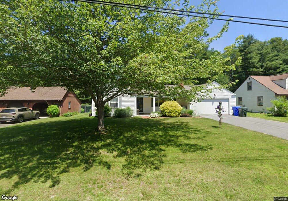
78 Briarcliff St Springfield, MA 01128
Sixteen Acres NeighborhoodEstimated Value: $303,013 - $351,000
3
Beds
1
Bath
1,090
Sq Ft
$299/Sq Ft
Est. Value
About This Home
This home is located at 78 Briarcliff St, Springfield, MA 01128 and is currently estimated at $325,753, approximately $298 per square foot. 78 Briarcliff St is a home located in Hampden County with nearby schools including Daniel B Brunton, M Marcus Kiley Middle, and Springfield High School of Science and Technology.
Ownership History
Date
Name
Owned For
Owner Type
Purchase Details
Closed on
May 28, 2008
Sold by
Gagne Joann L and Burnett John M
Bought by
Shea Lisa A
Current Estimated Value
Home Financials for this Owner
Home Financials are based on the most recent Mortgage that was taken out on this home.
Original Mortgage
$161,500
Outstanding Balance
$102,890
Interest Rate
5.91%
Mortgage Type
Purchase Money Mortgage
Estimated Equity
$222,863
Create a Home Valuation Report for This Property
The Home Valuation Report is an in-depth analysis detailing your home's value as well as a comparison with similar homes in the area
Home Values in the Area
Average Home Value in this Area
Purchase History
| Date | Buyer | Sale Price | Title Company |
|---|---|---|---|
| Shea Lisa A | $170,000 | -- |
Source: Public Records
Mortgage History
| Date | Status | Borrower | Loan Amount |
|---|---|---|---|
| Open | Shea Lisa A | $161,500 |
Source: Public Records
Tax History
| Year | Tax Paid | Tax Assessment Tax Assessment Total Assessment is a certain percentage of the fair market value that is determined by local assessors to be the total taxable value of land and additions on the property. | Land | Improvement |
|---|---|---|---|---|
| 2025 | $4,296 | $274,000 | $61,100 | $212,900 |
| 2024 | $4,410 | $274,600 | $61,100 | $213,500 |
| 2023 | $3,785 | $222,000 | $58,100 | $163,900 |
| 2022 | $3,947 | $209,700 | $61,400 | $148,300 |
| 2021 | $3,589 | $189,900 | $55,800 | $134,100 |
| 2020 | $3,166 | $162,100 | $55,800 | $106,300 |
| 2019 | $3,149 | $160,000 | $55,800 | $104,200 |
| 2018 | $3,253 | $165,300 | $55,800 | $109,500 |
| 2017 | $3,087 | $157,000 | $55,800 | $101,200 |
| 2016 | $2,870 | $146,000 | $55,800 | $90,200 |
| 2015 | $2,866 | $145,700 | $55,800 | $89,900 |
Source: Public Records
Map
Nearby Homes
- 285 Ellendale Cir
- 2026 Parker St
- 21 Ryan Cir
- 178 Oak Hollow Rd
- 90 Teakwood Rd
- 12 Pondview Dr
- 64 Rochford Cir
- 110 W Crystal Brook Dr
- 31 Acrebrook Rd
- 119 Acrebrook Rd
- 130 Fox Hill Rd
- 158 Woodcrest Rd
- 142 Louis Rd
- 33 Winding Ln
- 87 Bridle Path Rd
- 27 E Circle Dr
- 33 Overhill Dr
- 24 Deerfoot Dr
- 1542 S Branch Pkwy
- 234 Mapleshade Ave
- 68 Briarcliff St
- 84 Briarcliff St
- 60 Briarcliff St
- 75 Briarcliff St
- 67 Briarcliff St
- 83 Briarcliff St
- 52 Briarcliff St
- 59 Briarcliff St
- 95 Malibu Dr
- 87 Malibu Dr
- 79 Malibu Dr
- 103 Malibu Dr
- 51 Briarcliff St
- 44 Briarcliff St
- 74 Ellendale Cir
- 71 Malibu Dr
- 82 Ellendale Cir
- 64 Ellendale Cir
- 43 Briarcliff St
- 36 Briarcliff St
Your Personal Tour Guide
Ask me questions while you tour the home.