78 Cedar Creek Rd Sudbury, MA 01776
Estimated Value: $925,000 - $1,108,000
4
Beds
2
Baths
2,010
Sq Ft
$503/Sq Ft
Est. Value
About This Home
This home is located at 78 Cedar Creek Rd, Sudbury, MA 01776 and is currently estimated at $1,011,964, approximately $503 per square foot. 78 Cedar Creek Rd is a home located in Middlesex County with nearby schools including Josiah Haynes Elementary School, Ephraim Curtis Middle School, and Lincoln-Sudbury Regional High School.
Ownership History
Date
Name
Owned For
Owner Type
Purchase Details
Closed on
Mar 4, 2025
Sold by
Close David H and Close Gail C
Bought by
David H Close 2007 T H and David Close
Current Estimated Value
Create a Home Valuation Report for This Property
The Home Valuation Report is an in-depth analysis detailing your home's value as well as a comparison with similar homes in the area
Home Values in the Area
Average Home Value in this Area
Purchase History
| Date | Buyer | Sale Price | Title Company |
|---|---|---|---|
| David H Close 2007 T H | -- | None Available | |
| David H Close 2007 T H | -- | None Available |
Source: Public Records
Tax History Compared to Growth
Tax History
| Year | Tax Paid | Tax Assessment Tax Assessment Total Assessment is a certain percentage of the fair market value that is determined by local assessors to be the total taxable value of land and additions on the property. | Land | Improvement |
|---|---|---|---|---|
| 2025 | $13,609 | $929,600 | $462,600 | $467,000 |
| 2024 | $13,102 | $896,800 | $449,000 | $447,800 |
| 2023 | $12,463 | $790,300 | $415,800 | $374,500 |
| 2022 | $12,162 | $673,800 | $381,400 | $292,400 |
| 2021 | $11,791 | $626,200 | $381,400 | $244,800 |
| 2020 | $11,553 | $626,200 | $381,400 | $244,800 |
| 2019 | $11,215 | $626,200 | $381,400 | $244,800 |
| 2018 | $11,199 | $624,600 | $401,400 | $223,200 |
| 2017 | $10,958 | $617,700 | $396,600 | $221,100 |
| 2016 | $10,609 | $596,000 | $381,400 | $214,600 |
| 2015 | $10,153 | $576,900 | $366,600 | $210,300 |
| 2014 | $10,129 | $561,800 | $355,800 | $206,000 |
Source: Public Records
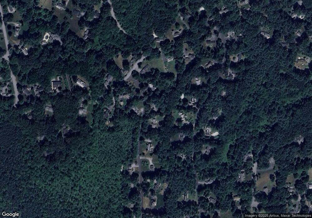
Map
Nearby Homes
- 16 Blacksmith Dr
- 42 Dakin Rd
- 67 Powder Mill Rd
- 369 Border Rd
- 57 Longfellow Rd
- 29 Black Birch Ln Unit 29
- 589 North Rd
- 9 Black Birch Ln Unit 9
- 96 Forest Ridge Rd Unit 96
- 5 Oak Ridge Dr Unit 7
- 10 Oak Ridge Dr Unit 5
- 40 Rookery Ln Unit 5
- 72 Rookery Ln Unit 3
- 401 Emery Ln Unit 104
- 24 Rookery Ln Unit 6
- 5 Taintor Dr
- 56 Rookery Ln Unit 4
- 80 N Branch Rd
- 250 Great Rd
- 14 Frost Ln
- 70 Cedar Creek Rd
- 77 Cedar Creek Rd
- 84 Cedar Creek Rd
- 120 Powers Rd
- 91 Willard Grant Rd
- 97 Willard Grant Rd
- 130 Powers Rd
- 130 Powers Rd Unit 1
- 62 Cedar Creek Rd
- 83 Willard Grant Rd
- 142 Powers Rd
- 112 Powers Rd
- 105 Willard Grant Rd
- 105 Willard Grant Rd Unit 105
- 115 Powers Rd
- 54 Cedar Creek Rd
- 125 Powers Rd
- 77 Willard Grant Rd
- 150 Powers Rd
- 96 Willard Grant Rd