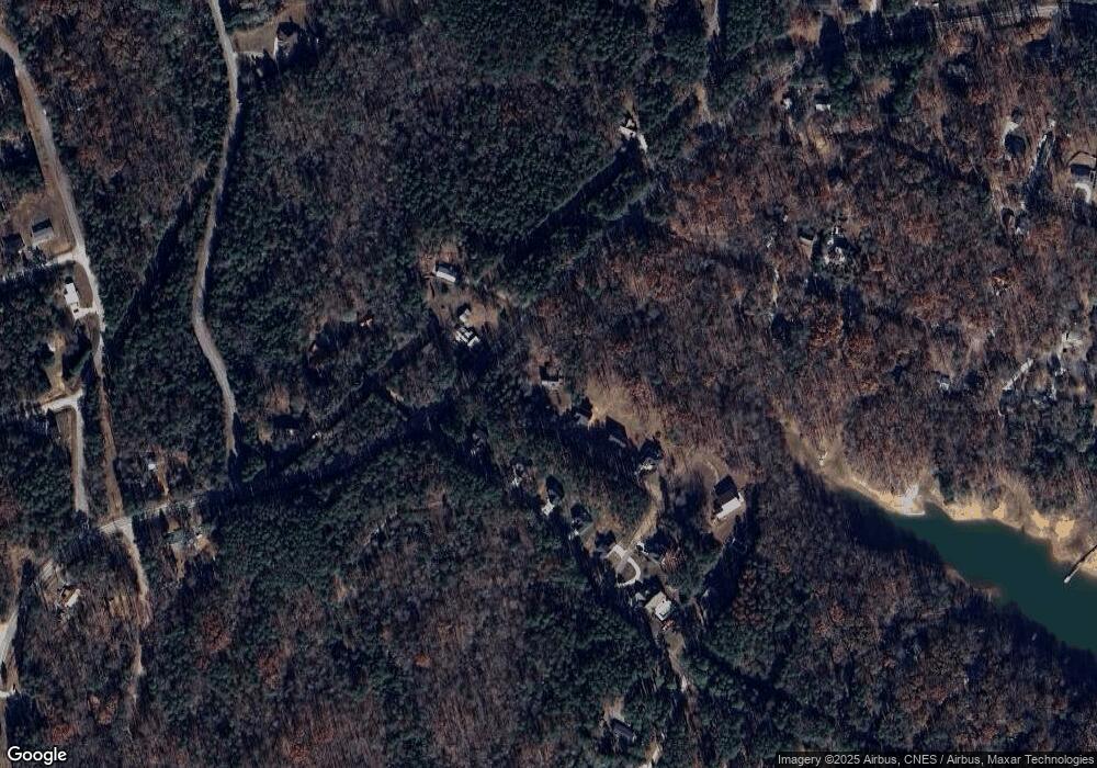
78 Chestnut Ln Lavonia, GA 30553
Estimated Value: $288,279 - $401,000
3
Beds
3
Baths
1,920
Sq Ft
$185/Sq Ft
Est. Value
About This Home
This home is located at 78 Chestnut Ln, Lavonia, GA 30553 and is currently estimated at $355,320, approximately $185 per square foot. 78 Chestnut Ln is a home located in Franklin County with nearby schools including Franklin County High School.
Ownership History
Date
Name
Owned For
Owner Type
Purchase Details
Closed on
Apr 20, 2005
Sold by
Strickland David R
Bought by
Lundstrom Mary E
Current Estimated Value
Home Financials for this Owner
Home Financials are based on the most recent Mortgage that was taken out on this home.
Original Mortgage
$123,600
Outstanding Balance
$64,650
Interest Rate
5.99%
Mortgage Type
New Conventional
Estimated Equity
$290,670
Purchase Details
Closed on
Apr 15, 2003
Sold by
Bank One National Association
Bought by
Strickland David and Strickland Chris
Purchase Details
Closed on
Oct 1, 2002
Sold by
Norman Kenneth C and Norman D
Bought by
Bank One National Association
Purchase Details
Closed on
Oct 2, 1997
Bought by
Norman Kenneth C and Norman D
Create a Home Valuation Report for This Property
The Home Valuation Report is an in-depth analysis detailing your home's value as well as a comparison with similar homes in the area
Home Values in the Area
Average Home Value in this Area
Purchase History
| Date | Buyer | Sale Price | Title Company |
|---|---|---|---|
| Lundstrom Mary E | $154,500 | -- | |
| Strickland David | $92,300 | -- | |
| Bank One National Association | -- | -- | |
| Norman Kenneth C | $18,000 | -- |
Source: Public Records
Mortgage History
| Date | Status | Borrower | Loan Amount |
|---|---|---|---|
| Open | Lundstrom Mary E | $123,600 |
Source: Public Records
Tax History Compared to Growth
Tax History
| Year | Tax Paid | Tax Assessment Tax Assessment Total Assessment is a certain percentage of the fair market value that is determined by local assessors to be the total taxable value of land and additions on the property. | Land | Improvement |
|---|---|---|---|---|
| 2024 | -- | $76,006 | $8,000 | $68,006 |
| 2023 | $0 | $69,824 | $8,000 | $61,824 |
| 2022 | $1,678 | $65,046 | $8,880 | $56,166 |
| 2021 | $1,602 | $58,228 | $8,880 | $49,348 |
| 2020 | $1,528 | $56,876 | $8,880 | $47,996 |
| 2019 | $1,589 | $56,876 | $8,880 | $47,996 |
| 2018 | $0 | $51,150 | $8,880 | $42,270 |
| 2017 | -- | $51,150 | $8,880 | $42,270 |
| 2016 | -- | $47,468 | $8,880 | $38,588 |
| 2015 | -- | $47,468 | $8,880 | $38,588 |
| 2014 | -- | $47,468 | $8,880 | $38,588 |
| 2013 | -- | $48,421 | $8,880 | $39,541 |
Source: Public Records
Map
Nearby Homes
- 253 Trout Dr
- 0 Mountain View Rd Unit 10508238
- LOT 11 Riverbend Rd
- 380 Capri Point
- LOT 51 Alpine Way
- 0 Hillshore Rd Unit 10583710
- 0 Skyline Way Unit 10490511
- 234 Mountain View Dr
- 45 Lake View Ct
- 501 Capri Point
- 166 Cedar St
- LOT Lake View Dr
- 355, 323 & 357 Catfish Ln
- 234 Lake View Dr
- 294 Lakeshore Dr
- 455 Lake View Dr
- 570 Greenleaf Dr
- 200 Greenpeace Way
- 396 Greenleaf Dr
- 111 Mohawk Ln
- 56 Chestnut St
- 36 Chestnut St
- 12 Chestnut Ln
- 1345 Poplar Springs Rd
- 31 Park St Unit 2
- 31 Park St Unit LOT 2
- 31 Park St
- 0 Chestnut St
- 34 Chestnut St
- 0 Riverbend Rd Unit 16 & 17 7616260
- 0 Riverbend Rd Unit 16/17 7616256
- 0 Riverbend Rd Unit 20030835
- 0 Riverbend Rd Unit 10018398
- 0 Riverbend Rd Unit 20016613
- 0 Riverbend Rd Unit 8732587
- 0 Riverbend Rd Unit 8949681
- 0 Riverbend Rd Unit 8952619
- 0 Riverbend Rd Unit 2562928
- 0 Riverbend Rd Unit 2785744
- 0 Riverbend Rd Unit 7010653
