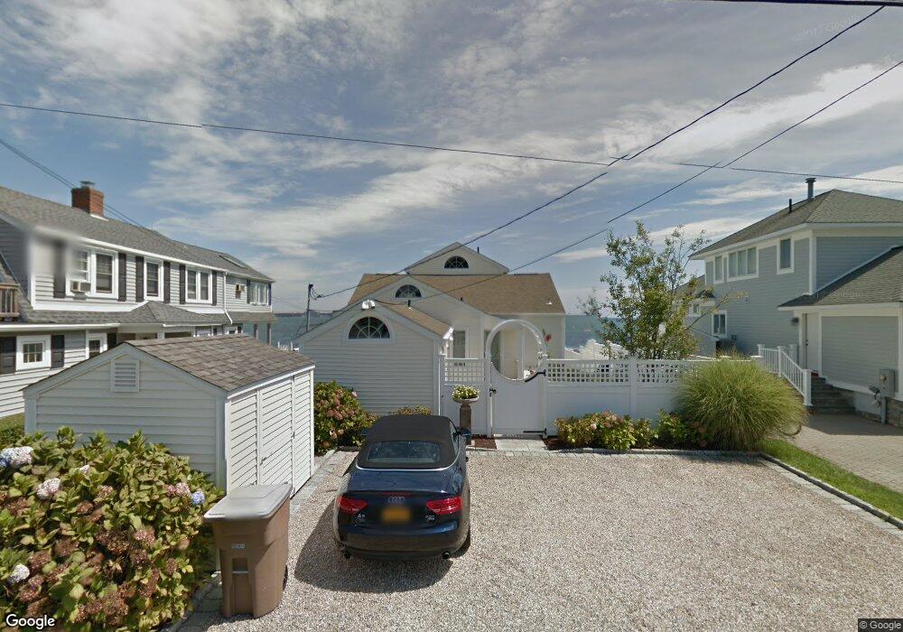
78 E Shore Dr Niantic, CT 06357
Estimated Value: $1,056,225 - $1,573,000
3
Beds
3
Baths
1,937
Sq Ft
$654/Sq Ft
Est. Value
About This Home
This home is located at 78 E Shore Dr, Niantic, CT 06357 and is currently estimated at $1,266,056, approximately $653 per square foot. 78 E Shore Dr is a home located in New London County with nearby schools including East Lyme Middle School, East Lyme High School, and The Light House Voc-Ed Center.
Ownership History
Date
Name
Owned For
Owner Type
Purchase Details
Closed on
Oct 28, 1994
Sold by
State St Bk
Bought by
Mager Ronald A and Mager Margaret M
Current Estimated Value
Home Financials for this Owner
Home Financials are based on the most recent Mortgage that was taken out on this home.
Original Mortgage
$200,000
Interest Rate
8.65%
Mortgage Type
Unknown
Create a Home Valuation Report for This Property
The Home Valuation Report is an in-depth analysis detailing your home's value as well as a comparison with similar homes in the area
Home Values in the Area
Average Home Value in this Area
Purchase History
| Date | Buyer | Sale Price | Title Company |
|---|---|---|---|
| Mager Ronald A | $252,000 | -- |
Source: Public Records
Mortgage History
| Date | Status | Borrower | Loan Amount |
|---|---|---|---|
| Closed | Mager Ronald A | $178,000 | |
| Closed | Mager Ronald A | $200,000 | |
| Previous Owner | Mager Ronald A | $350,000 |
Source: Public Records
Tax History
| Year | Tax Paid | Tax Assessment Tax Assessment Total Assessment is a certain percentage of the fair market value that is determined by local assessors to be the total taxable value of land and additions on the property. | Land | Improvement |
|---|---|---|---|---|
| 2025 | $15,803 | $564,200 | $432,880 | $131,320 |
| 2024 | $14,867 | $564,200 | $432,880 | $131,320 |
| 2023 | $14,037 | $564,200 | $432,880 | $131,320 |
| 2022 | $13,451 | $564,200 | $432,880 | $131,320 |
| 2021 | $13,772 | $483,070 | $375,130 | $107,940 |
| 2020 | $13,702 | $483,140 | $375,130 | $108,010 |
| 2019 | $13,620 | $483,140 | $375,130 | $108,010 |
| 2018 | $13,214 | $483,140 | $375,130 | $108,010 |
| 2017 | $12,639 | $483,140 | $375,130 | $108,010 |
| 2016 | $12,295 | $484,820 | $375,130 | $109,690 |
| 2015 | $11,980 | $484,820 | $375,130 | $109,690 |
| 2014 | $11,650 | $484,820 | $375,130 | $109,690 |
Source: Public Records
Map
Nearby Homes
- 61 Whitecap Rd
- 36 Attawan Rd
- 26 Mohawk Dr
- 127 Black Point Rd Unit 7
- 42 S Washington Ave
- 15 Griswold Rd
- 19 Sapia Dr
- 468 Main St Unit 318
- 468 Main St Unit 111
- 12 Spinnaker Dr
- 31 Regatta Dr
- 43 Village Crossing Unit 43
- 47 Village Crossing Unit 47
- 46 Village Crossing Unit 46
- 185 Main St Unit 301
- 185 Main St Unit 305
- 97 W Main St Unit 36
- 55 Corey Ln
- 43 Roxbury Ct
- 52B Millstone Rd W
- 76 E Shore Dr
- 80 E Shore Dr
- 75 E Shore Dr
- 82 E Shore Dr
- 74 E Shore Dr
- 79 E Shore Dr
- 5 Brightwater Rd
- 70 E Shore Dr
- 8 Saltaire Ave
- 7 Brightwater Rd
- 71 E Shore Dr
- 2 Brightwater Rd
- 86 E Shore Dr
- 7 Saltaire Ave
- 85 E Shore Dr
- 68 E Shore Dr
- 11 Brightwater Rd
- 10 Saltaire Ave
- 6 Sea Spray Ave
- 8 Brightwater Rd
Your Personal Tour Guide
Ask me questions while you tour the home.