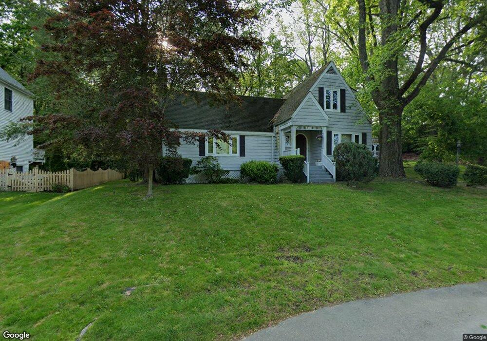
78 Fern Cir Trumbull, CT 06611
Trumbull Center NeighborhoodEstimated Value: $667,000 - $855,000
3
Beds
3
Baths
2,295
Sq Ft
$320/Sq Ft
Est. Value
About This Home
This home is located at 78 Fern Cir, Trumbull, CT 06611 and is currently estimated at $734,929, approximately $320 per square foot. 78 Fern Cir is a home located in Fairfield County with nearby schools including Booth Hill School, Hillcrest Middle School, and Trumbull High School.
Ownership History
Date
Name
Owned For
Owner Type
Purchase Details
Closed on
Oct 19, 1992
Sold by
Pine Creek Capital
Bought by
Comerford Carolyn
Current Estimated Value
Home Financials for this Owner
Home Financials are based on the most recent Mortgage that was taken out on this home.
Original Mortgage
$110,000
Interest Rate
7.93%
Mortgage Type
Unknown
Create a Home Valuation Report for This Property
The Home Valuation Report is an in-depth analysis detailing your home's value as well as a comparison with similar homes in the area
Home Values in the Area
Average Home Value in this Area
Purchase History
| Date | Buyer | Sale Price | Title Company |
|---|---|---|---|
| Comerford Carolyn | $255,000 | -- |
Source: Public Records
Mortgage History
| Date | Status | Borrower | Loan Amount |
|---|---|---|---|
| Closed | Comerford Carolyn | $110,000 | |
| Closed | Comerford Carolyn | $110,000 |
Source: Public Records
Tax History Compared to Growth
Tax History
| Year | Tax Paid | Tax Assessment Tax Assessment Total Assessment is a certain percentage of the fair market value that is determined by local assessors to be the total taxable value of land and additions on the property. | Land | Improvement |
|---|---|---|---|---|
| 2025 | $11,319 | $306,250 | $149,520 | $156,730 |
| 2024 | $10,994 | $306,250 | $149,520 | $156,730 |
| 2023 | $10,826 | $306,250 | $149,520 | $156,730 |
| 2022 | $10,659 | $306,250 | $149,520 | $156,730 |
| 2021 | $9,192 | $255,640 | $127,610 | $128,030 |
| 2020 | $9,192 | $255,640 | $127,610 | $128,030 |
| 2018 | $8,991 | $255,640 | $127,610 | $128,030 |
| 2017 | $8,820 | $255,640 | $127,610 | $128,030 |
| 2016 | $8,654 | $255,640 | $127,610 | $128,030 |
| 2015 | $8,236 | $244,400 | $121,600 | $122,800 |
| 2014 | $8,060 | $244,400 | $121,600 | $122,800 |
Source: Public Records
Map
Nearby Homes
- 401 Unity Rd
- 2921 Nichols Ave
- 0 Lot #4 & Lot #5 W Mischa Rd Unit 24138429
- 1 Village Dr
- 11 Knollcrest Dr
- 101 Golden Hill St
- 0 Pinewood Trail
- 375 Silver St
- 480 Shelton Rd
- 122 Paugusett Cir
- 121 Paugusett Cir
- 7 Manor Dr
- 11 Laurel St
- 450 Emerald Place
- 115 Silver St
- 58 Daniels Farm Rd
- 2428 Huntington Turnpike
- 2449 Huntington Turnpike
- 32 Marshall Ave
- 175 Post Oak Rd