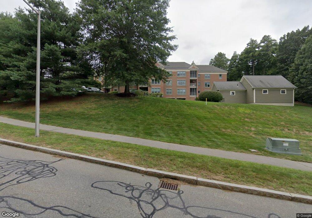
78 Forest Ridge Rd Unit 300 Concord, MA 01742
Estimated Value: $769,000 - $918,000
3
Beds
2
Baths
1,636
Sq Ft
$507/Sq Ft
Est. Value
About This Home
This home is located at 78 Forest Ridge Rd Unit 300, Concord, MA 01742 and is currently estimated at $828,660, approximately $506 per square foot. 78 Forest Ridge Rd Unit 300 is a home located in Middlesex County with nearby schools including Thoreau Elementary School, Concord Middle School, and Maynard Knowledge Beginnings.
Ownership History
Date
Name
Owned For
Owner Type
Purchase Details
Closed on
Jan 28, 2011
Sold by
Pulis Todd A and Pulis Brenda M
Bought by
Cheryl A Stakutis Lt
Current Estimated Value
Purchase Details
Closed on
Jan 18, 2008
Sold by
Hurley Kevin P
Bought by
Pulis Brenda M and Pulis Todd A
Home Financials for this Owner
Home Financials are based on the most recent Mortgage that was taken out on this home.
Original Mortgage
$380,000
Interest Rate
6.02%
Mortgage Type
Purchase Money Mortgage
Create a Home Valuation Report for This Property
The Home Valuation Report is an in-depth analysis detailing your home's value as well as a comparison with similar homes in the area
Home Values in the Area
Average Home Value in this Area
Purchase History
| Date | Buyer | Sale Price | Title Company |
|---|---|---|---|
| Cheryl A Stakutis Lt | $420,000 | -- | |
| Pulis Brenda M | $475,000 | -- |
Source: Public Records
Mortgage History
| Date | Status | Borrower | Loan Amount |
|---|---|---|---|
| Previous Owner | Cheryl A Stakutis Lt | $380,000 | |
| Previous Owner | Pulis Brenda M | $380,000 |
Source: Public Records
Tax History Compared to Growth
Tax History
| Year | Tax Paid | Tax Assessment Tax Assessment Total Assessment is a certain percentage of the fair market value that is determined by local assessors to be the total taxable value of land and additions on the property. | Land | Improvement |
|---|---|---|---|---|
| 2025 | $91 | $683,500 | $0 | $683,500 |
| 2024 | $8,827 | $672,300 | $0 | $672,300 |
| 2023 | $8,916 | $688,000 | $0 | $688,000 |
| 2022 | $9,653 | $654,000 | $0 | $654,000 |
| 2021 | $8,404 | $570,900 | $0 | $570,900 |
| 2020 | $8,124 | $570,900 | $0 | $570,900 |
| 2019 | $8,114 | $571,800 | $0 | $571,800 |
| 2018 | $7,498 | $524,700 | $0 | $524,700 |
| 2017 | $7,356 | $522,800 | $0 | $522,800 |
| 2016 | $6,725 | $483,100 | $0 | $483,100 |
| 2015 | $6,738 | $471,500 | $0 | $471,500 |
Source: Public Records
Map
Nearby Homes
- 96 Forest Ridge Rd Unit 96
- 9 Black Birch Ln Unit 9
- 29 Black Birch Ln Unit 29
- 369 Border Rd
- 1 Maillet Dr
- 80 N Branch Rd
- 67 Powder Mill Rd
- 132 Parker St Unit G5
- 2 & 6 Powder Mill Rd
- 69 Powder Mill Rd
- 1844 Main St Unit 1844
- 66 Powder Mill Rd
- 128 Parker St Unit 3B
- 22 Garfield Ave
- 118 Parker St Unit 16
- 589 North Rd
- 37 Water St
- 27 Water St
- 5 Oak Ridge Dr Unit 7
- 10 Oak Ridge Dr Unit 5
- 18 Sweet Birch Ln Unit 18
- 11 Sweet Birch Ln Unit 11
- 3 Sweet Birch Ln Unit 3
- 17 Sweet Birch Ln Unit 17
- 21 Sweet Birch Ln Unit 21
- 78 Forest Ridge Rd Unit 305
- 78 Forest Ridge Rd Unit 304
- 78 Forest Ridge Rd Unit 303
- 78 Forest Ridge Rd Unit 302
- 78 Forest Ridge Rd Unit 301
- 78 Forest Ridge Rd Unit 205
- 78 Forest Ridge Rd Unit 204
- 78 Forest Ridge Rd Unit 203
- 78 Forest Ridge Rd Unit 202
- 78 Forest Ridge Rd Unit 201
- 78 Forest Ridge Rd Unit 200
- 78 Forest Ridge Rd Unit 105
- 78 Forest Ridge Rd Unit 104
- 78 Forest Ridge Rd Unit 103
- 78 Forest Ridge Rd Unit 102