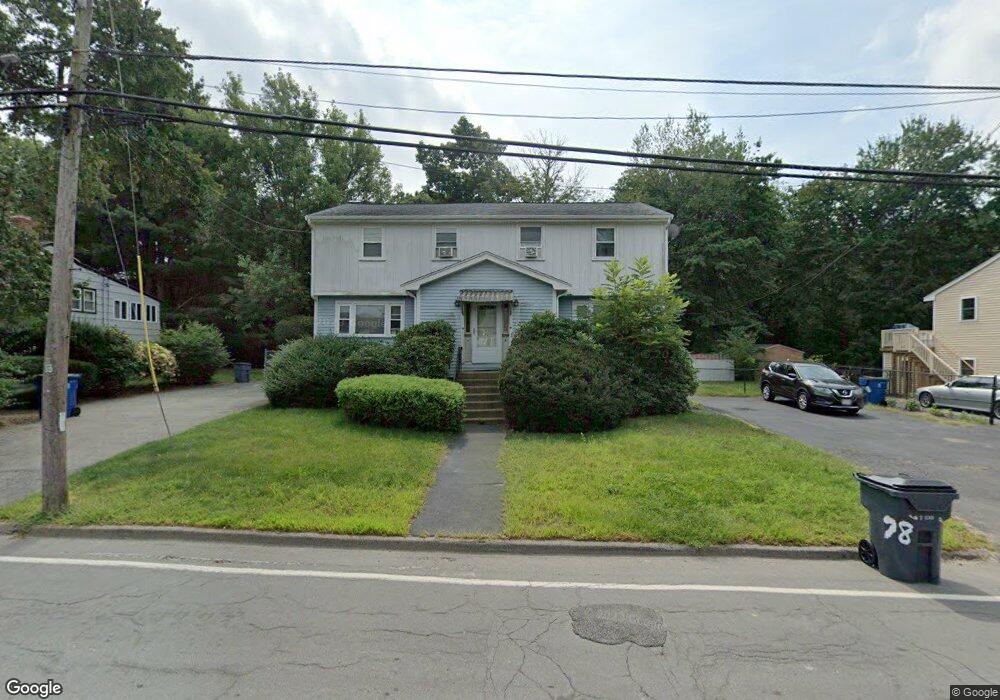
78 Grove St Unit A Randolph, MA 02368
North Randolph NeighborhoodEstimated Value: $412,308 - $516,000
3
Beds
2
Baths
1,060
Sq Ft
$435/Sq Ft
Est. Value
About This Home
This home is located at 78 Grove St Unit A, Randolph, MA 02368 and is currently estimated at $460,577, approximately $434 per square foot. 78 Grove St Unit A is a home located in Norfolk County with nearby schools including Randolph High School, Boston Higashi School, and Lighthouse Baptist Christian Academy.
Ownership History
Date
Name
Owned For
Owner Type
Purchase Details
Closed on
Jun 1, 2006
Sold by
Doane Darlene M
Bought by
Haynes Charles and Peart Kimberly
Current Estimated Value
Home Financials for this Owner
Home Financials are based on the most recent Mortgage that was taken out on this home.
Original Mortgage
$296,000
Outstanding Balance
$173,829
Interest Rate
6.55%
Mortgage Type
Purchase Money Mortgage
Estimated Equity
$286,748
Create a Home Valuation Report for This Property
The Home Valuation Report is an in-depth analysis detailing your home's value as well as a comparison with similar homes in the area
Home Values in the Area
Average Home Value in this Area
Purchase History
| Date | Buyer | Sale Price | Title Company |
|---|---|---|---|
| Haynes Charles | $296,000 | -- |
Source: Public Records
Mortgage History
| Date | Status | Borrower | Loan Amount |
|---|---|---|---|
| Open | Haynes Charles | $296,000 |
Source: Public Records
Tax History Compared to Growth
Tax History
| Year | Tax Paid | Tax Assessment Tax Assessment Total Assessment is a certain percentage of the fair market value that is determined by local assessors to be the total taxable value of land and additions on the property. | Land | Improvement |
|---|---|---|---|---|
| 2025 | $4,065 | $350,100 | $0 | $350,100 |
| 2024 | $4,097 | $357,800 | $0 | $357,800 |
| 2023 | $3,750 | $310,400 | $0 | $310,400 |
| 2022 | $3,843 | $282,600 | $0 | $282,600 |
| 2021 | $2,963 | $200,500 | $0 | $200,500 |
| 2020 | $2,878 | $193,000 | $0 | $193,000 |
| 2019 | $2,806 | $187,300 | $0 | $187,300 |
| 2018 | $2,816 | $177,300 | $0 | $177,300 |
| 2017 | $2,738 | $169,200 | $0 | $169,200 |
| 2016 | $2,662 | $153,100 | $0 | $153,100 |
| 2015 | $2,608 | $144,100 | $0 | $144,100 |
Source: Public Records
Map
Nearby Homes
- 18 Jasper Ln
- 54 Jasper Ln
- 12 Jasper Ln Unit 12
- 16 Simmonds Blvd Unit 16
- 20 Simmonds Blvd Unit 20
- 14 Simmonds Blvd Unit 14
- 12 Simmonds Blvd Unit 12
- 20 Nelson Dr Unit 3A
- 591 N Main St
- 33 Liberty St
- 73 Belcher St
- 47 West St Unit A2
- 44 Liberty St
- 43 Emily Jeffers Rd
- 2 Smith Rd
- 28 Silver St
- 34 Orchard St
- 17 Mazzeo Dr
- 1 Clark Cir
- 229 Chestnut St