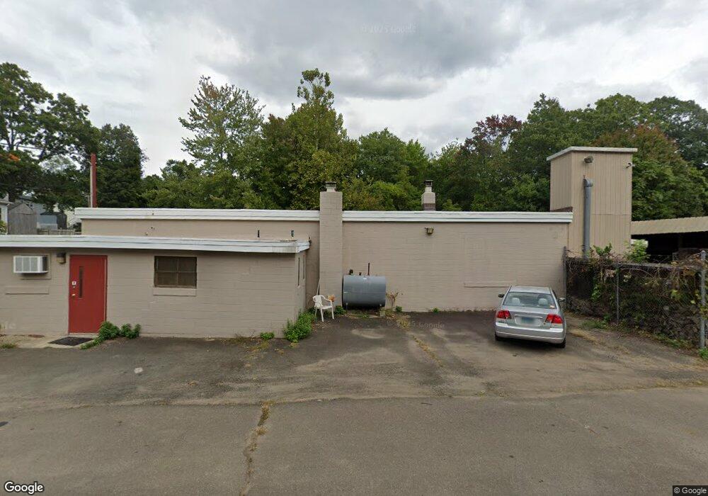
78 Hamilton St West Haven, CT 06516
Allingtown NeighborhoodEstimated Value: $327,411
--
Bed
--
Bath
2,724
Sq Ft
$120/Sq Ft
Est. Value
About This Home
This home is located at 78 Hamilton St, West Haven, CT 06516 and is currently estimated at $327,411, approximately $120 per square foot. 78 Hamilton St is a home located in New Haven County with nearby schools including Carrigan 5/6 Intermediate School, Harry M. Bailey Middle School, and West Haven High School.
Ownership History
Date
Name
Owned For
Owner Type
Purchase Details
Closed on
May 6, 2024
Sold by
Penza Pascal G
Bought by
78 Hamilton St Llc
Current Estimated Value
Purchase Details
Closed on
Sep 1, 2011
Sold by
Raccio Robert E
Bought by
Panza Pascal G
Purchase Details
Closed on
Nov 17, 1995
Sold by
George Stanley A Est and George
Bought by
Raccio Robert E
Create a Home Valuation Report for This Property
The Home Valuation Report is an in-depth analysis detailing your home's value as well as a comparison with similar homes in the area
Home Values in the Area
Average Home Value in this Area
Purchase History
| Date | Buyer | Sale Price | Title Company |
|---|---|---|---|
| 78 Hamilton St Llc | $295,000 | None Available | |
| 78 Hamilton St Llc | $295,000 | None Available | |
| Panza Pascal G | $185,000 | -- | |
| Panza Pascal G | $185,000 | -- | |
| Raccio Robert E | $37,500 | -- | |
| Raccio Robert E | $37,500 | -- | |
| Raccio Robert E | $37,500 | -- |
Source: Public Records
Tax History Compared to Growth
Tax History
| Year | Tax Paid | Tax Assessment Tax Assessment Total Assessment is a certain percentage of the fair market value that is determined by local assessors to be the total taxable value of land and additions on the property. | Land | Improvement |
|---|---|---|---|---|
| 2025 | $6,804 | $200,060 | $78,820 | $121,240 |
| 2024 | $6,725 | $140,420 | $64,400 | $76,020 |
| 2023 | $6,518 | $140,420 | $64,400 | $76,020 |
| 2022 | $6,405 | $140,420 | $64,400 | $76,020 |
| 2021 | $6,406 | $140,420 | $64,400 | $76,020 |
| 2020 | $6,536 | $126,910 | $57,190 | $69,720 |
| 2019 | $6,434 | $126,910 | $57,190 | $69,720 |
| 2018 | $6,259 | $126,910 | $57,190 | $69,720 |
| 2017 | $6,064 | $126,910 | $57,190 | $69,720 |
| 2016 | $5,880 | $126,910 | $57,190 | $69,720 |
| 2015 | $5,728 | $140,770 | $64,400 | $76,370 |
| 2014 | $5,614 | $140,770 | $64,400 | $76,370 |
Source: Public Records
Map
Nearby Homes
- 194 Homeside Ave
- 107 Tuthill St
- 39 Medford St
- 89 Coleman St Unit 213
- 62 Tuthill St
- 63 Glade St Unit C1
- 57 Dalton St
- 81 Homeside Ave
- 35 Terrace Ave
- 265 Tuthill St
- 227 W Spring St
- 78 Nonquit St
- 12 Linda St
- 182 Meloy Rd
- 161 W Spring St Unit B2
- 161 W Spring St Unit C1
- 104 Terrace Ave
- 387 W Spring St
- 1014 Campbell Ave Unit 14
- 60 Andrews St
- 133 Miami St
- 283 Homeside Ave
- 287 Homeside Ave
- 281 Homeside Ave
- 82 Rockledge St
- 291 Homeside Ave
- 275 Homeside Ave
- 78 Rockledge St
- 267 Homeside Ave
- 115 Miami St
- 79 Rockledge St
- 70 Rockledge St
- 88 Peabody St
- 261 Homeside Ave
- 76 Peabody St
- 96 Peabody St
- 75 Rockledge St
- 68 Peabody St
- 102 Peabody St
- 282 Homeside Ave