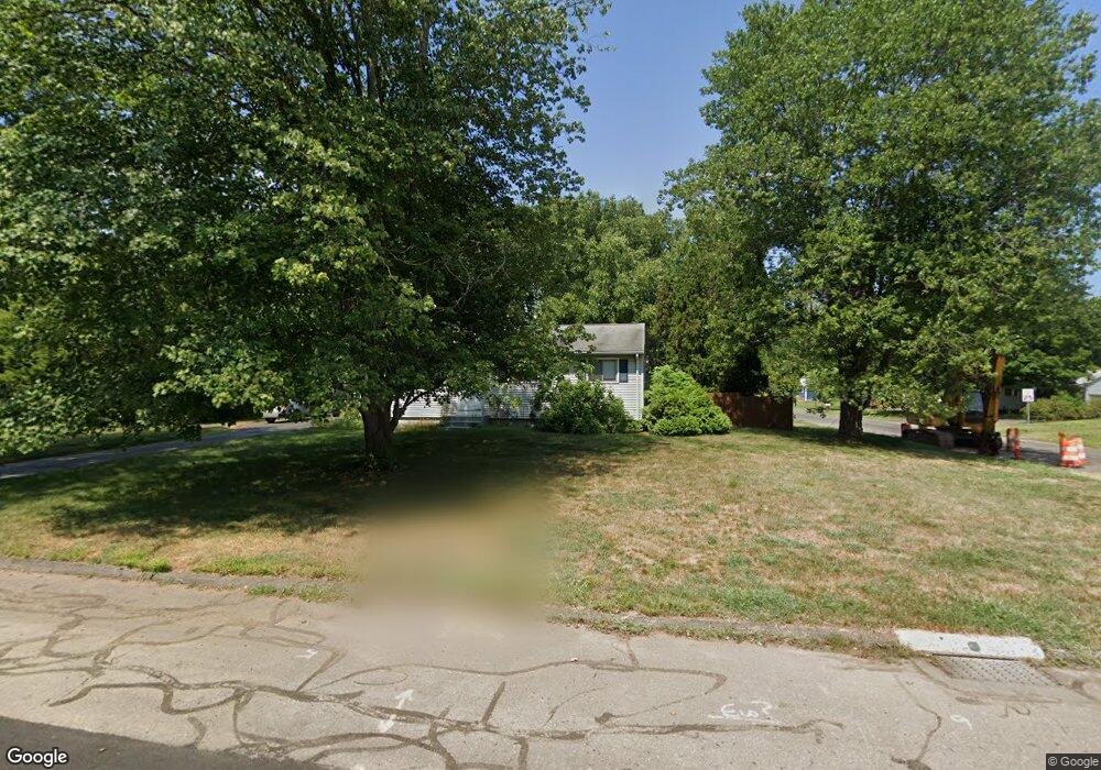
78 High Tower Rd South Windsor, CT 06074
Estimated Value: $329,000 - $415,000
4
Beds
2
Baths
1,236
Sq Ft
$308/Sq Ft
Est. Value
About This Home
This home is located at 78 High Tower Rd, South Windsor, CT 06074 and is currently estimated at $380,610, approximately $307 per square foot. 78 High Tower Rd is a home located in Hartford County with nearby schools including Timothy Edwards School and South Windsor High School.
Ownership History
Date
Name
Owned For
Owner Type
Purchase Details
Closed on
Oct 2, 1989
Sold by
Murray Devin
Bought by
Kraft Inc
Current Estimated Value
Purchase Details
Closed on
Sep 15, 1987
Sold by
Conrad Raymond
Bought by
Murray Kevin
Home Financials for this Owner
Home Financials are based on the most recent Mortgage that was taken out on this home.
Original Mortgage
$108,000
Interest Rate
10.27%
Create a Home Valuation Report for This Property
The Home Valuation Report is an in-depth analysis detailing your home's value as well as a comparison with similar homes in the area
Home Values in the Area
Average Home Value in this Area
Purchase History
| Date | Buyer | Sale Price | Title Company |
|---|---|---|---|
| Kraft Inc | $141,750 | -- | |
| Murray Kevin | $126,000 | -- |
Source: Public Records
Mortgage History
| Date | Status | Borrower | Loan Amount |
|---|---|---|---|
| Closed | Murray Kevin | $75,400 | |
| Closed | Murray Kevin | $100,000 | |
| Previous Owner | Murray Kevin | $108,000 |
Source: Public Records
Tax History Compared to Growth
Tax History
| Year | Tax Paid | Tax Assessment Tax Assessment Total Assessment is a certain percentage of the fair market value that is determined by local assessors to be the total taxable value of land and additions on the property. | Land | Improvement |
|---|---|---|---|---|
| 2025 | $6,232 | $175,000 | $94,500 | $80,500 |
| 2024 | $6,031 | $175,000 | $94,500 | $80,500 |
| 2023 | $5,800 | $175,000 | $94,500 | $80,500 |
| 2022 | $5,013 | $129,300 | $87,500 | $41,800 |
| 2021 | $4,895 | $129,300 | $87,500 | $41,800 |
| 2020 | $4,898 | $129,300 | $87,500 | $41,800 |
| 2019 | $4,978 | $129,300 | $87,500 | $41,800 |
| 2018 | $4,871 | $129,300 | $87,500 | $41,800 |
| 2017 | $4,996 | $131,200 | $87,500 | $43,700 |
| 2016 | $4,899 | $131,200 | $87,500 | $43,700 |
| 2015 | $4,794 | $131,200 | $87,500 | $43,700 |
| 2014 | $4,659 | $131,200 | $87,500 | $43,700 |
Source: Public Records
Map
Nearby Homes
- 74 Alison Dr
- 35 Dower Rd
- 31 Wendy Dr
- 43 W River Rd
- 23 Cathy (Lot 21) Ln
- 29 W River Rd
- 21 Ln
- 26 Cathy (Lot 13) Ln
- 24 Cathy (Lot 14) Ln
- 22 Cathy (Lot 15) Ln
- 19 Cathy (Lot 19) Ln
- 17 Cathy (Lot 18) Ln
- 20 Cathy (Lot 16) Ln
- 18 Cathy (Lot 17) Ln
- 27 W River Rd
- 34 W River Rd
- 668 Sullivan Ave
- 50 High St
- 372 Scantic Rd Unit 8
- 47 Ferry Ln
- 90 High Tower Rd
- 62 High Tower Rd
- 16 Scantic Meadow Rd
- 29 Scantic Meadow Rd
- 104 High Tower Rd
- 77 High Tower Rd
- 69 High Tower Rd
- 85 High Tower Rd
- 39 Scantic Meadow Rd
- 61 High Tower Rd
- 52 High Tower Rd
- 48 Ann Rd
- 108 High Tower Rd
- 70 Meryl Rd
- 47 Scantic Meadow Rd
- 24 Scantic Meadow Rd
- 56 Ann Rd
- 65 Meryl Rd
- 44 High Tower Rd