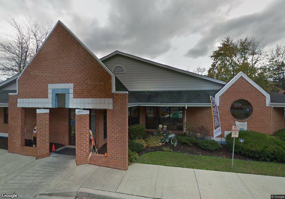
78 Industrial Park Dr Waldorf, MD 20602
Estimated Value: $1,731,521
--
Bed
--
Bath
7,258
Sq Ft
$239/Sq Ft
Est. Value
About This Home
This home is located at 78 Industrial Park Dr, Waldorf, MD 20602 and is currently estimated at $1,731,521, approximately $238 per square foot. 78 Industrial Park Dr is a home located in Charles County with nearby schools including Dr. Samuel A. Mudd Elementary School, John Hanson Middle School, and Thomas Stone High School.
Ownership History
Date
Name
Owned For
Owner Type
Purchase Details
Closed on
May 14, 2021
Sold by
Omilos Llc
Bought by
Tng Longmont Llc and Tng Muir Llc
Current Estimated Value
Purchase Details
Closed on
Oct 24, 2013
Sold by
Childtime Childcare Inc
Bought by
Omilos Llc
Purchase Details
Closed on
Jan 2, 1987
Sold by
W C I, Inc
Bought by
Gerber Children'S Centers Inc
Create a Home Valuation Report for This Property
The Home Valuation Report is an in-depth analysis detailing your home's value as well as a comparison with similar homes in the area
Home Values in the Area
Average Home Value in this Area
Purchase History
| Date | Buyer | Sale Price | Title Company |
|---|---|---|---|
| Tng Longmont Llc | $1,472,000 | Fidelity National Ttl Ins Co | |
| Omilos Llc | $1,100,000 | Fidelity Natl Title Ins Co | |
| Gerber Children'S Centers Inc | $150,000 | -- |
Source: Public Records
Tax History Compared to Growth
Tax History
| Year | Tax Paid | Tax Assessment Tax Assessment Total Assessment is a certain percentage of the fair market value that is determined by local assessors to be the total taxable value of land and additions on the property. | Land | Improvement |
|---|---|---|---|---|
| 2025 | $41,601 | $1,525,467 | -- | -- |
| 2024 | $19,524 | $1,458,000 | $471,500 | $986,500 |
| 2023 | $19,304 | $1,350,867 | $0 | $0 |
| 2022 | $16,650 | $1,243,733 | $0 | $0 |
| 2021 | $30,428 | $1,136,600 | $471,500 | $665,100 |
| 2020 | $14,695 | $1,096,933 | $0 | $0 |
| 2019 | $14,167 | $1,057,267 | $0 | $0 |
| 2018 | $13,402 | $1,017,600 | $471,500 | $546,100 |
| 2017 | $12,115 | $963,267 | $0 | $0 |
| 2016 | -- | $908,933 | $0 | $0 |
| 2015 | $13,811 | $854,600 | $0 | $0 |
| 2014 | $13,811 | $854,033 | $0 | $0 |
Source: Public Records
Map
Nearby Homes
- 110 Sherman Rd
- 0 Smallwood Dr Unit MDCH2031694
- 137 Garner Ave
- 139 Garner Ave
- 221 Brent Rd
- 1016 Stone Ave
- 302 Barksdale Ave
- 228 Garner Ave
- 1115 Hamlin Rd
- 119 Jefferson Rd
- 314 Rivermont Dr
- 1205 Adams Ct
- 307 Tompkins Ln
- 790 University Dr
- 52 Garner Ave
- 10912 Maryland Woods Ct
- 717 Barrington Dr
- 22 Amwich Ct
- 801 Roxbury Ct
- 5 Redcar Ct
- 80 Industrial Park Dr
- 942 Copley Ave
- 11375 Utz Place
- 11375 Utz Place Unit INDUSTRIAL PARK DR
- 940 Copley Ave
- 79 Industrial Park Dr
- 136 Stoddert Ave
- 200 Barksdale Ave
- 938 Copley Ave
- 937 Copley Ave
- 137 Stoddert Ave
- 203 Barksdale Ave
- 200 Stoddert Ave
- 202 Barksdale Ave
- 936 Copley Ave
- 935 Copley Ave
- 139 Stoddert Ave
- 102 Sherman Rd
- 100 Sherman Rd
- 135 Stoddert Ave