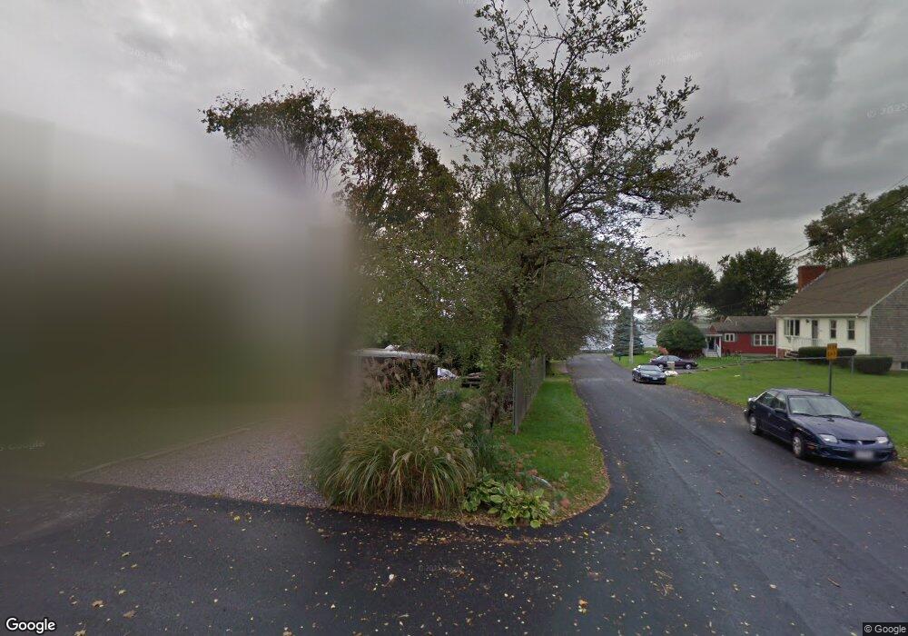
78 Inverness Rd Swansea, MA 02777
Touisset NeighborhoodEstimated Value: $331,000 - $407,000
2
Beds
1
Bath
720
Sq Ft
$516/Sq Ft
Est. Value
About This Home
This home is located at 78 Inverness Rd, Swansea, MA 02777 and is currently estimated at $371,587, approximately $516 per square foot. 78 Inverness Rd is a home located in Bristol County with nearby schools including Joseph Case High School.
Ownership History
Date
Name
Owned For
Owner Type
Purchase Details
Closed on
Feb 24, 2011
Sold by
Lombardi Phyllis Ann E and Lombardi L
Bought by
Mcnair Maryellen Lomba and Lombardi Michael Andrew
Current Estimated Value
Purchase Details
Closed on
Aug 5, 1974
Bought by
Boyorek Andrew P and Mcnair Maryellen
Create a Home Valuation Report for This Property
The Home Valuation Report is an in-depth analysis detailing your home's value as well as a comparison with similar homes in the area
Home Values in the Area
Average Home Value in this Area
Purchase History
| Date | Buyer | Sale Price | Title Company |
|---|---|---|---|
| Mcnair Maryellen Lomba | -- | -- | |
| Boyorek Andrew P | -- | -- |
Source: Public Records
Tax History Compared to Growth
Tax History
| Year | Tax Paid | Tax Assessment Tax Assessment Total Assessment is a certain percentage of the fair market value that is determined by local assessors to be the total taxable value of land and additions on the property. | Land | Improvement |
|---|---|---|---|---|
| 2025 | $4,601 | $386,000 | $285,000 | $101,000 |
| 2024 | $4,605 | $384,100 | $285,100 | $99,000 |
| 2023 | $3,462 | $263,654 | $170,754 | $92,900 |
| 2022 | $3,099 | $215,333 | $132,233 | $83,100 |
| 2021 | $3,357 | $214,803 | $155,003 | $59,800 |
| 2020 | $3,343 | $214,600 | $155,000 | $59,600 |
| 2019 | $3,046 | $196,400 | $138,000 | $58,400 |
| 2018 | $2,985 | $194,100 | $141,500 | $52,600 |
| 2017 | $2,825 | $212,700 | $152,400 | $60,300 |
| 2016 | $2,805 | $207,500 | $152,000 | $55,500 |
| 2015 | $2,646 | $201,500 | $152,000 | $49,500 |
| 2014 | $2,906 | $226,300 | $166,400 | $59,900 |
Source: Public Records
Map
Nearby Homes