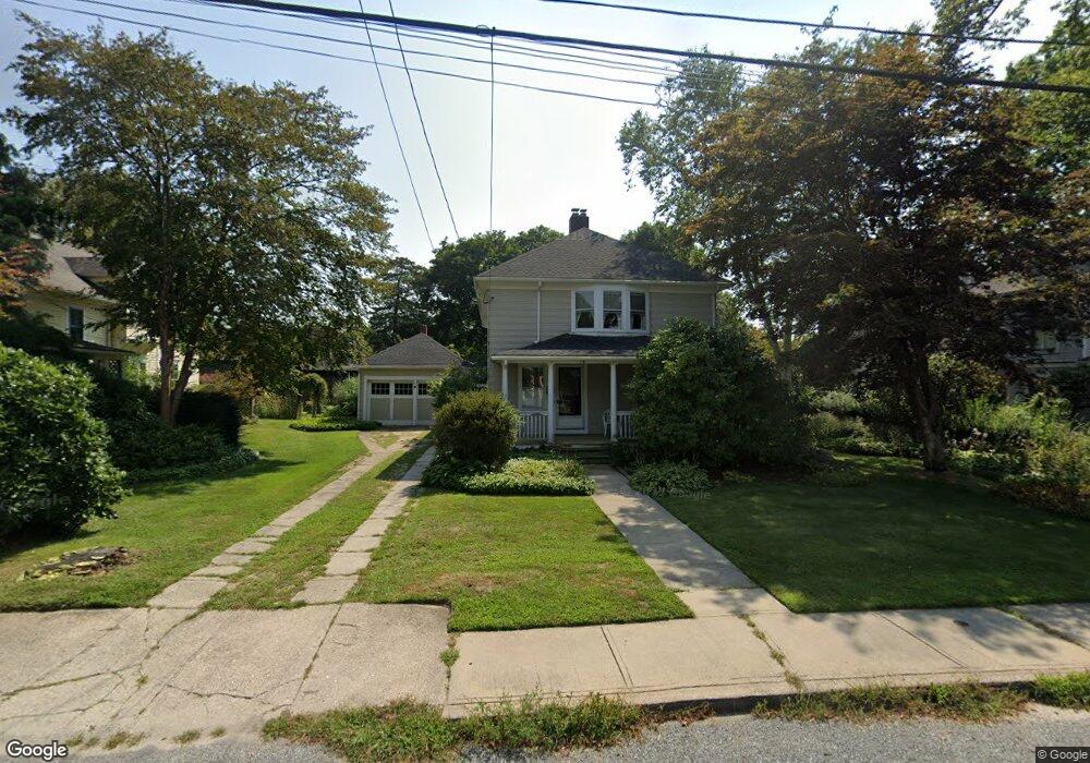
78 Lake Ave Wakefield, RI 02879
Estimated Value: $750,250 - $849,000
1
Bed
1
Bath
944
Sq Ft
$826/Sq Ft
Est. Value
About This Home
This home is located at 78 Lake Ave, Wakefield, RI 02879 and is currently estimated at $780,063, approximately $826 per square foot. 78 Lake Ave is a home located in Washington County with nearby schools including South Kingstown High School.
Ownership History
Date
Name
Owned For
Owner Type
Purchase Details
Closed on
Dec 30, 2019
Sold by
Fox Paul J and Fox Wendy S
Bought by
Fox Joy E
Current Estimated Value
Home Financials for this Owner
Home Financials are based on the most recent Mortgage that was taken out on this home.
Original Mortgage
$160,000
Outstanding Balance
$141,638
Interest Rate
3.7%
Mortgage Type
Purchase Money Mortgage
Estimated Equity
$638,425
Purchase Details
Closed on
Oct 20, 1994
Sold by
Stuart Catherine M
Bought by
Fox Paul J and Fox Wendy
Create a Home Valuation Report for This Property
The Home Valuation Report is an in-depth analysis detailing your home's value as well as a comparison with similar homes in the area
Home Values in the Area
Average Home Value in this Area
Purchase History
| Date | Buyer | Sale Price | Title Company |
|---|---|---|---|
| Fox Joy E | $210,000 | None Available | |
| Fox Paul J | $129,000 | -- |
Source: Public Records
Mortgage History
| Date | Status | Borrower | Loan Amount |
|---|---|---|---|
| Open | Fox Joy E | $160,000 | |
| Previous Owner | Fox Paul J | $50,000 | |
| Previous Owner | Fox Paul J | $147,000 |
Source: Public Records
Tax History Compared to Growth
Tax History
| Year | Tax Paid | Tax Assessment Tax Assessment Total Assessment is a certain percentage of the fair market value that is determined by local assessors to be the total taxable value of land and additions on the property. | Land | Improvement |
|---|---|---|---|---|
| 2025 | $4,769 | $533,500 | $389,000 | $144,500 |
| 2024 | $4,891 | $442,600 | $326,300 | $116,300 |
| 2023 | $4,891 | $442,600 | $326,300 | $116,300 |
| 2022 | $4,846 | $442,600 | $326,300 | $116,300 |
| 2021 | $5,021 | $347,500 | $265,900 | $81,600 |
| 2020 | $5,021 | $347,500 | $265,900 | $81,600 |
| 2019 | $5,021 | $347,500 | $265,900 | $81,600 |
| 2018 | $4,401 | $280,700 | $212,800 | $67,900 |
| 2017 | $4,298 | $280,700 | $212,800 | $67,900 |
| 2016 | $4,236 | $280,700 | $212,800 | $67,900 |
| 2015 | $4,318 | $278,200 | $203,900 | $74,300 |
| 2014 | $4,307 | $278,200 | $203,900 | $74,300 |
Source: Public Records
Map
Nearby Homes
- 0 Park Ave
- 35 Atlantic Ave
- 27 Holden Rd
- 854 Matunuck Beach #215 Rd
- 854 Matunuck Beach Rd
- 277 Prospect Rd
- 24 Peninsula Rd
- 14 E Pointe Ct Unit 14
- 691 Succotash Rd
- 689 Succotash Rd
- 550 Cards Pond Rd
- 17 Westside Rd
- 83 Gooseberry Rd
- 6 MacAlder St
- 392 Gooseberry Rd
- 16 Percy Ln
- 2139 Commodore Oliver Hazard Perry Hwy
- 16 High Tides Ln
- 18 Beach Row
- 2321 Post Rd