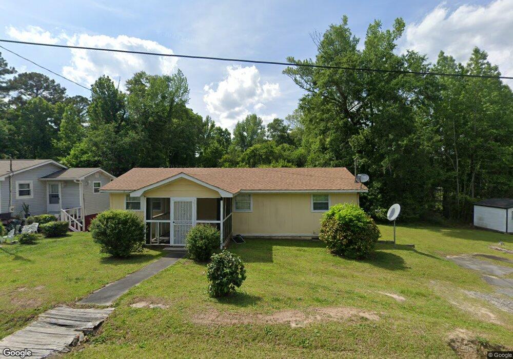
78 Lewis Dr Dry Branch, GA 31020
Estimated Value: $59,351 - $193,000
2
Beds
1
Bath
1,012
Sq Ft
$133/Sq Ft
Est. Value
About This Home
This home is located at 78 Lewis Dr, Dry Branch, GA 31020 and is currently estimated at $134,588, approximately $132 per square foot. 78 Lewis Dr is a home located in Twiggs County with nearby schools including Jeffersonville Elementary School, Twiggs Middle School, and Twiggs County High School.
Ownership History
Date
Name
Owned For
Owner Type
Purchase Details
Closed on
Jun 10, 2025
Sold by
Martin Charles Louis
Bought by
Wilson Jemel
Current Estimated Value
Purchase Details
Closed on
Jun 1, 2005
Sold by
Lanfair Sandra
Bought by
Lanfair Billy F
Purchase Details
Closed on
May 29, 2005
Sold by
Wilbon Martin George
Bought by
Martin Charles Louis
Purchase Details
Closed on
Apr 23, 1997
Sold by
Wright Susie Nell
Bought by
Martin George W
Purchase Details
Closed on
Feb 27, 1996
Sold by
Hollings Hilton
Bought by
Wright Susie Nell
Purchase Details
Closed on
May 13, 1974
Bought by
Hollings Hilton
Create a Home Valuation Report for This Property
The Home Valuation Report is an in-depth analysis detailing your home's value as well as a comparison with similar homes in the area
Home Values in the Area
Average Home Value in this Area
Purchase History
| Date | Buyer | Sale Price | Title Company |
|---|---|---|---|
| Wilson Jemel | -- | -- | |
| Lanfair Billy F | -- | -- | |
| Martin Charles Louis | -- | -- | |
| Martin George W | $11,000 | -- | |
| Wright Susie Nell | $10,000 | -- | |
| Hollings Hilton | -- | -- |
Source: Public Records
Tax History Compared to Growth
Tax History
| Year | Tax Paid | Tax Assessment Tax Assessment Total Assessment is a certain percentage of the fair market value that is determined by local assessors to be the total taxable value of land and additions on the property. | Land | Improvement |
|---|---|---|---|---|
| 2024 | $512 | $14,302 | $512 | $13,790 |
| 2023 | $513 | $14,302 | $512 | $13,790 |
| 2022 | $517 | $14,302 | $512 | $13,790 |
| 2021 | $518 | $14,302 | $512 | $13,790 |
| 2020 | $518 | $14,302 | $512 | $13,790 |
| 2019 | $512 | $14,152 | $512 | $13,640 |
| 2018 | $470 | $14,152 | $512 | $13,640 |
| 2017 | $470 | $14,152 | $512 | $13,640 |
| 2016 | $0 | $13,640 | $0 | $13,640 |
| 2015 | -- | $14,152 | $512 | $13,640 |
| 2014 | -- | $14,152 | $512 | $13,640 |
| 2013 | -- | $15,888 | $512 | $15,376 |
Source: Public Records
Map
Nearby Homes
- 0 Knollwood Rd Unit LotWP004
- 0 Knollwood Rd Unit 10495049
- 32 Knollwood Rd
- Hwy 129
- 5757 Jeffersonville Rd
- 0 Parker Rd Unit 10461595
- 000 Parker Rd
- 5503 Jeffersonville Rd
- 4912 Old Gordon Rd
- 3741 Franklinton Rd
- 6678 Davis Rd
- 4400 Davis Rd
- 0 Hwy 80
- 2975 Frederick Dr
- 253 Apple Valley Rd
- 631 Crabapple Place
- 290 Forestwood Dr
- 4509 Donnan Rd
- 134 Bowers Dr