78 Lincoln Rd Ashland, PA 17921
Estimated Value: $206,000 - $268,000
3
Beds
2
Baths
1,544
Sq Ft
$159/Sq Ft
Est. Value
About This Home
This home is located at 78 Lincoln Rd, Ashland, PA 17921 and is currently estimated at $245,819, approximately $159 per square foot. 78 Lincoln Rd is a home located in Schuylkill County with nearby schools including Tri-Valley Junior/Senior High School.
Ownership History
Date
Name
Owned For
Owner Type
Purchase Details
Closed on
Jun 14, 2010
Sold by
Melocheck Eugene J and Melocheck Sharlene J
Bought by
Moyer John C and Moyer Patricia L
Current Estimated Value
Home Financials for this Owner
Home Financials are based on the most recent Mortgage that was taken out on this home.
Original Mortgage
$115,000
Outstanding Balance
$77,111
Interest Rate
4.98%
Mortgage Type
New Conventional
Estimated Equity
$168,708
Create a Home Valuation Report for This Property
The Home Valuation Report is an in-depth analysis detailing your home's value as well as a comparison with similar homes in the area
Home Values in the Area
Average Home Value in this Area
Purchase History
| Date | Buyer | Sale Price | Title Company |
|---|---|---|---|
| Moyer John C | $175,000 | None Available |
Source: Public Records
Mortgage History
| Date | Status | Borrower | Loan Amount |
|---|---|---|---|
| Open | Moyer John C | $115,000 |
Source: Public Records
Tax History Compared to Growth
Tax History
| Year | Tax Paid | Tax Assessment Tax Assessment Total Assessment is a certain percentage of the fair market value that is determined by local assessors to be the total taxable value of land and additions on the property. | Land | Improvement |
|---|---|---|---|---|
| 2025 | $3,179 | $47,910 | $9,085 | $38,825 |
| 2024 | $2,785 | $47,910 | $9,085 | $38,825 |
| 2023 | $2,681 | $47,910 | $9,085 | $38,825 |
| 2022 | $2,600 | $47,910 | $9,085 | $38,825 |
| 2021 | $2,524 | $47,910 | $9,085 | $38,825 |
| 2020 | $2,524 | $47,910 | $9,085 | $38,825 |
| 2018 | $2,422 | $47,910 | $9,085 | $38,825 |
| 2017 | $2,323 | $47,910 | $9,085 | $38,825 |
| 2015 | -- | $47,910 | $9,085 | $38,825 |
| 2011 | -- | $47,910 | $0 | $0 |
Source: Public Records
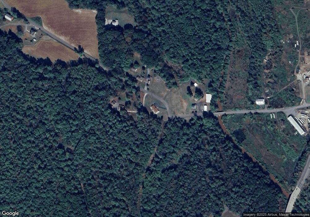
Map
Nearby Homes
- 0 W Side of Stein Rd
- 60 South St
- 0 Airport Rd Unit PASK2024112
- 416 Dutchtown Rd
- 572 Airport Rd
- 604 Airport Rd
- 505 Mcknight St
- 323 N Hobart St
- 310 Hobart St
- 2200 Spruce St
- 2134 Centre St
- 1931 Walnut St
- 0 Dutchtown Rd
- 28 N 19th St
- 1713 Walnut St
- 1723 Centre St
- 1721 Centre St
- 1613 Walnut St
- 1606 Market St
- 1420 Walnut St
- 67 Lincoln Rd
- 66 Lincoln Rd
- 153 Black Creek Rd
- 55 Lincoln Rd
- 30 Melocheck Ln
- 88 Black Creek Rd
- 197 Black Creek Rd
- 26 Lincoln Rd
- 14 Lincoln Rd
- 2593 Sunbury Rd
- 9 Ruby Dr
- 2587 Sunbury Rd
- 86 Reichwein Rd
- 1355 Taylorsville Rd
- 50 Black Creek Rd
- 1365 Taylorsville Rd
- 1348 Taylorsville Rd
- 1366 Taylorsville Rd
- 1377 Taylorsville Rd
- 1360 Taylorsville Rd