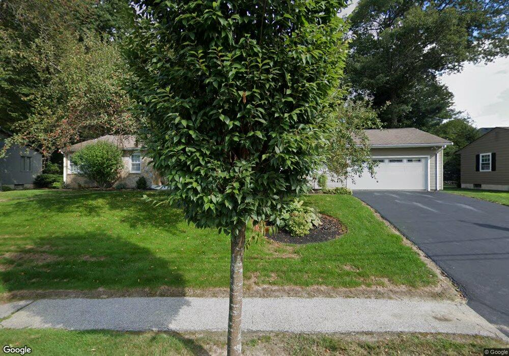
78 Lynnwood Ln Unit 1 Worcester, MA 01609
Forest Grove NeighborhoodEstimated Value: $522,230 - $592,000
3
Beds
2
Baths
1,528
Sq Ft
$358/Sq Ft
Est. Value
About This Home
This home is located at 78 Lynnwood Ln Unit 1, Worcester, MA 01609 and is currently estimated at $547,058, approximately $358 per square foot. 78 Lynnwood Ln Unit 1 is a home located in Worcester County with nearby schools including Chandler Magnet, Jacob Hiatt Magnet School, and Flagg Street School.
Ownership History
Date
Name
Owned For
Owner Type
Purchase Details
Closed on
Jun 3, 2014
Sold by
Mccullough 3Rd William F and Anderson Claire M
Bought by
Meola Francis P and Meola Odette L
Current Estimated Value
Purchase Details
Closed on
Dec 14, 1998
Sold by
Est Tapper Ida Z and Tapper Albert M
Bought by
Anderson Claire M
Create a Home Valuation Report for This Property
The Home Valuation Report is an in-depth analysis detailing your home's value as well as a comparison with similar homes in the area
Home Values in the Area
Average Home Value in this Area
Purchase History
| Date | Buyer | Sale Price | Title Company |
|---|---|---|---|
| Meola Francis P | $246,875 | -- | |
| Anderson Claire M | $145,000 | -- |
Source: Public Records
Tax History Compared to Growth
Tax History
| Year | Tax Paid | Tax Assessment Tax Assessment Total Assessment is a certain percentage of the fair market value that is determined by local assessors to be the total taxable value of land and additions on the property. | Land | Improvement |
|---|---|---|---|---|
| 2025 | $6,263 | $474,800 | $123,500 | $351,300 |
| 2024 | $6,100 | $443,600 | $123,500 | $320,100 |
| 2023 | $5,917 | $412,600 | $106,300 | $306,300 |
| 2022 | $5,269 | $346,400 | $85,100 | $261,300 |
| 2021 | $5,374 | $330,100 | $68,100 | $262,000 |
| 2020 | $5,122 | $301,300 | $67,900 | $233,400 |
| 2019 | $5,072 | $281,800 | $65,500 | $216,300 |
| 2018 | $4,894 | $258,800 | $65,500 | $193,300 |
| 2017 | $4,974 | $258,800 | $65,500 | $193,300 |
| 2016 | $5,058 | $245,400 | $53,400 | $192,000 |
| 2015 | $4,925 | $245,400 | $53,400 | $192,000 |
| 2014 | $4,662 | $238,600 | $53,400 | $185,200 |
Source: Public Records
Map
Nearby Homes
- 61 Barry Rd
- 7 Dubiel Dr
- 46 Barry Rd
- 49 Barry Rd
- 12 Tattan Farm Rd
- 617 Salisbury St
- 770 Salisbury St Unit 201
- 3 Old English Rd
- 97 Parkton Ave
- 2 Baiting Brook Ln Unit 71
- 4004 Brompton Cir
- 3901 Knightsbridge Close Unit 3901
- 667 Grove St
- 7 Old Brook Dr
- 4 Barrows Rd
- 10 Salisbury Hill Blvd Unit 75
- 3 Carter Way
- 28 Holden St
- 9 Dennison Rd
- 477 Salisbury St