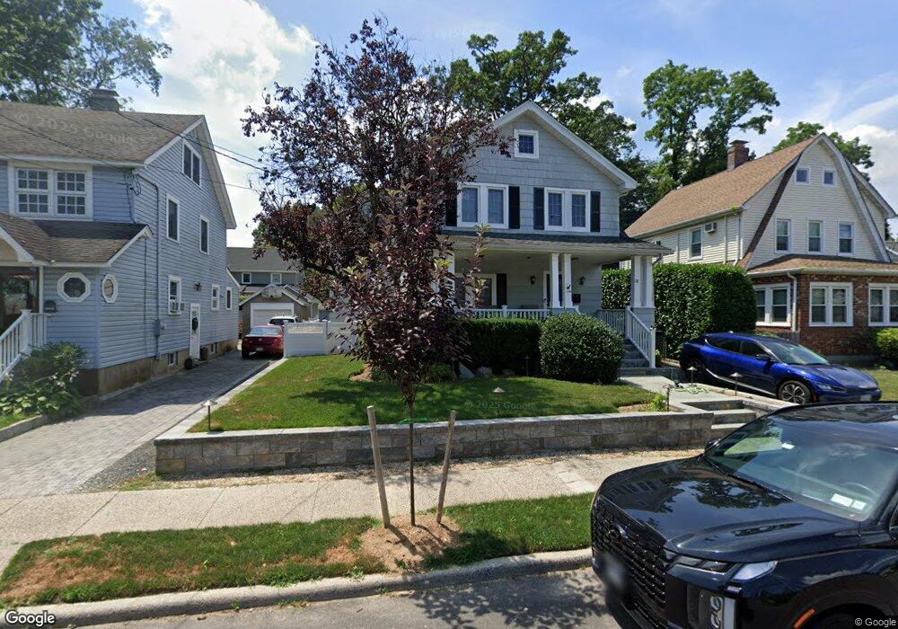
78 Mackey Ave Port Washington, NY 11050
Estimated Value: $1,345,342 - $1,514,000
5
Beds
3
Baths
2,389
Sq Ft
$598/Sq Ft
Est. Value
About This Home
This home is located at 78 Mackey Ave, Port Washington, NY 11050 and is currently estimated at $1,429,671, approximately $598 per square foot. 78 Mackey Ave is a home located in Nassau County with nearby schools including John Philip Sousa Elementary School, Carrie Palmer Weber Middle School, and Paul D. Schreiber Senior High School.
Ownership History
Date
Name
Owned For
Owner Type
Purchase Details
Closed on
Sep 20, 2017
Sold by
Msf Pw Holdings Llc
Bought by
Lee Joseph and Ng Kaity S
Current Estimated Value
Home Financials for this Owner
Home Financials are based on the most recent Mortgage that was taken out on this home.
Original Mortgage
$700,800
Outstanding Balance
$584,588
Interest Rate
3.86%
Mortgage Type
New Conventional
Estimated Equity
$845,083
Purchase Details
Closed on
Jan 9, 2017
Sold by
Keaney Kallenberg Sharon and Last Will And Testament Of Shi
Bought by
Msf Pw Holdings Llc
Purchase Details
Closed on
Jul 11, 2006
Sold by
Zwerlein Leslie Ann
Create a Home Valuation Report for This Property
The Home Valuation Report is an in-depth analysis detailing your home's value as well as a comparison with similar homes in the area
Home Values in the Area
Average Home Value in this Area
Purchase History
| Date | Buyer | Sale Price | Title Company |
|---|---|---|---|
| Lee Joseph | $876,000 | Stewart Title Insurance Comp | |
| Msf Pw Holdings Llc | $670,000 | Cb Title | |
| -- | -- | -- |
Source: Public Records
Mortgage History
| Date | Status | Borrower | Loan Amount |
|---|---|---|---|
| Open | Lee Joseph | $700,800 |
Source: Public Records
Tax History Compared to Growth
Tax History
| Year | Tax Paid | Tax Assessment Tax Assessment Total Assessment is a certain percentage of the fair market value that is determined by local assessors to be the total taxable value of land and additions on the property. | Land | Improvement |
|---|---|---|---|---|
| 2025 | $19,379 | $864 | $323 | $541 |
| 2024 | $6,039 | $893 | $336 | $557 |
| 2023 | $18,403 | $933 | $295 | $638 |
| 2022 | $18,403 | $893 | $336 | $557 |
| 2021 | $17,700 | $946 | $356 | $590 |
| 2020 | $19,312 | $1,239 | $796 | $443 |
| 2019 | $14,390 | $1,239 | $796 | $443 |
| 2018 | $14,390 | $1,239 | $0 | $0 |
| 2017 | $8,544 | $1,239 | $796 | $443 |
| 2016 | $13,623 | $1,239 | $796 | $443 |
| 2015 | $4,968 | $1,239 | $651 | $588 |
| 2014 | $4,968 | $1,239 | $651 | $588 |
| 2013 | $4,641 | $1,239 | $651 | $588 |
Source: Public Records
Map
Nearby Homes
- 17 Willow Dr
- 96 Davis Rd
- 43 Amherst Rd
- 74 Bayview Ave Unit A
- 40 Oakland Dr
- 30 Monroe St
- 11 Park Ave
- 57 Marino Ave
- 35 Evergreen Ave
- 21A Neulist Ave
- 28 Charles St
- 18 Neulist Ave
- 32 Fairview Ave
- 38 Madison St Unit 38L
- 19 Concord Rd
- 85 Webster Ave
- 125 Main St Unit 1T
- 125 Main St Unit 2H
- 7 Reid Ave
- 27 Hemlock Rd