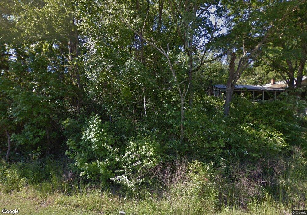
78 Mathis Rd Box Springs, GA 31801
Estimated Value: $238,000 - $275,000
3
Beds
2
Baths
1,606
Sq Ft
$162/Sq Ft
Est. Value
About This Home
This home is located at 78 Mathis Rd, Box Springs, GA 31801 and is currently estimated at $259,956, approximately $161 per square foot. 78 Mathis Rd is a home located in Talbot County with nearby schools including Central School.
Ownership History
Date
Name
Owned For
Owner Type
Purchase Details
Closed on
Aug 5, 2005
Sold by
Gandy Jeremy S
Bought by
Egan Lori
Current Estimated Value
Home Financials for this Owner
Home Financials are based on the most recent Mortgage that was taken out on this home.
Original Mortgage
$120,537
Outstanding Balance
$62,953
Interest Rate
5.57%
Mortgage Type
New Conventional
Estimated Equity
$197,003
Purchase Details
Closed on
May 27, 2003
Sold by
Jp Morgan Chase Bank
Bought by
Gandy Jeremy Shane
Purchase Details
Closed on
Feb 14, 2003
Sold by
King Jimmy and King Ida M
Bought by
Jp Morgan Chase Bank
Purchase Details
Closed on
Apr 22, 1998
Sold by
King Jimmy
Bought by
King Jimmy and King Ida M
Purchase Details
Closed on
Jan 1, 1986
Bought by
King
Create a Home Valuation Report for This Property
The Home Valuation Report is an in-depth analysis detailing your home's value as well as a comparison with similar homes in the area
Home Values in the Area
Average Home Value in this Area
Purchase History
| Date | Buyer | Sale Price | Title Company |
|---|---|---|---|
| Egan Lori | $118,000 | -- | |
| Gandy Jeremy Shane | $94,500 | -- | |
| Jp Morgan Chase Bank | -- | -- | |
| King Jimmy | -- | -- | |
| King | -- | -- |
Source: Public Records
Mortgage History
| Date | Status | Borrower | Loan Amount |
|---|---|---|---|
| Open | Egan Lori | $120,537 |
Source: Public Records
Tax History Compared to Growth
Tax History
| Year | Tax Paid | Tax Assessment Tax Assessment Total Assessment is a certain percentage of the fair market value that is determined by local assessors to be the total taxable value of land and additions on the property. | Land | Improvement |
|---|---|---|---|---|
| 2024 | $2,096 | $61,590 | $9,777 | $51,813 |
| 2023 | $1,788 | $52,212 | $9,492 | $42,720 |
| 2022 | $1,625 | $52,777 | $9,492 | $43,285 |
| 2021 | $1,669 | $51,999 | $8,254 | $43,745 |
| 2020 | $1,440 | $43,443 | $8,254 | $35,189 |
| 2019 | $1,252 | $43,699 | $8,254 | $35,445 |
| 2018 | $1,316 | $43,699 | $8,254 | $35,445 |
| 2017 | $1,186 | $43,699 | $8,254 | $35,445 |
| 2016 | $1,036 | $38,622 | $8,254 | $30,368 |
| 2015 | -- | $42,856 | $12,488 | $30,368 |
| 2013 | -- | $44,526 | $15,000 | $29,526 |
Source: Public Records
Map
Nearby Homes
- 422 Baker Creek Dr
- 1550 Hut Rd
- 641 Cusseta Hwy
- 1310 Doctor Brooks Rd
- 14270 Cross Creek Rd
- 1300 Dr Brooks Rd
- 7019 Kendall Creek Dr
- 8701 Mckee Rd
- 8715 Mckee Rd
- 8711 Mckee Rd
- 8695 Mckee Rd
- 8705 Mckee Rd
- 7524 Hedgestone Dr
- 8585 Mckee Rd
- 13642 Macon Rd
- 7232 Woodhaven Dr
- 0 Boyd Ct
- 7901 Shallowford Rd
- 63 Spring St
- 64 Spring St
- 56 Mathis Rd
- 266 S Howard Rd
- 300 Sizemore Rd
- 472 Sizemore Rd
- 287 S Howard Rd
- 745 Sizemore Rd
- 1780 Thomas Cir
- 265 Clark Mount Paron Rd
- 95 Sizemore Rd
- 1901 Thomas Cir
- 1821 Thomas Cir
- 206 Clark Mount Paron Rd
- 1470 Thomas Cir
- 941 Sizemore Rd
- 120 Sizemore Rd
- 1571 Thomas Cir
- 1801 Thomas Cir
- 1020 Thomas Cir
- 0 Thomas Cir Unit 26.03 ACRES 10311122
- 308 Box Springs Rd
