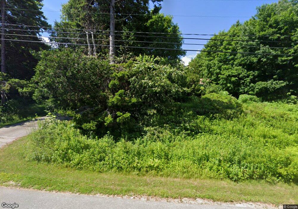
78 Mckenney Rd Stockton Springs, ME 04981
Estimated Value: $265,848 - $542,000
2
Beds
2
Baths
1,970
Sq Ft
$207/Sq Ft
Est. Value
About This Home
This home is located at 78 Mckenney Rd, Stockton Springs, ME 04981 and is currently estimated at $407,283, approximately $206 per square foot. 78 Mckenney Rd is a home.
Create a Home Valuation Report for This Property
The Home Valuation Report is an in-depth analysis detailing your home's value as well as a comparison with similar homes in the area
Home Values in the Area
Average Home Value in this Area
Tax History Compared to Growth
Tax History
| Year | Tax Paid | Tax Assessment Tax Assessment Total Assessment is a certain percentage of the fair market value that is determined by local assessors to be the total taxable value of land and additions on the property. | Land | Improvement |
|---|---|---|---|---|
| 2024 | $2,689 | $161,990 | $44,600 | $117,390 |
| 2023 | $2,376 | $107,040 | $44,600 | $62,440 |
| 2022 | $2,184 | $107,040 | $44,600 | $62,440 |
| 2021 | $2,173 | $107,040 | $44,600 | $62,440 |
| 2020 | $2,205 | $107,040 | $44,600 | $62,440 |
| 2019 | $2,173 | $107,040 | $44,600 | $62,440 |
| 2018 | $2,162 | $107,040 | $44,600 | $62,440 |
| 2017 | $2,194 | $107,040 | $44,600 | $62,440 |
| 2016 | $2,098 | $107,040 | $44,600 | $62,440 |
| 2015 | $2,028 | $107,040 | $44,600 | $62,440 |
| 2014 | $2,365 | $122,870 | $61,360 | $61,510 |
| 2013 | $2,212 | $122,880 | $61,360 | $61,520 |
Source: Public Records
Map
Nearby Homes
- 271 U S Route 1
- 95 Osprey Reach Rd
- Lot 157 Denslow Rd
- 38 Osprey Reach Rd
- 00 Stagecoach Rd
- 49 Fort Point Cove Rd
- 115A&B Pirates Cove Rd
- 115 Rd
- 115 Pirates Cove Rd
- 270 Main St
- 96 Pirates Cove Rd
- 7 Winchester Way
- 38 Church St
- 40 Church St
- 10 Church St
- 25 School St
- 55 Upper Sylvan St
- 196 Hersey Retreat Rd
- 671 U S Route 1
- 40 Loon Landing
