78 Moulton Hill Rd Monson, MA 01057
Estimated Value: $548,721 - $660,000
3
Beds
3
Baths
2,512
Sq Ft
$239/Sq Ft
Est. Value
About This Home
This home is located at 78 Moulton Hill Rd, Monson, MA 01057 and is currently estimated at $601,430, approximately $239 per square foot. 78 Moulton Hill Rd is a home located in Hampden County with nearby schools including Quarry Hill Community School, Granite Valley School, and Monson High School.
Ownership History
Date
Name
Owned For
Owner Type
Purchase Details
Closed on
May 25, 2005
Sold by
Scott Clifford J and Scott Kathleen M
Bought by
Burnham Jane S and Burnham Kevin B
Current Estimated Value
Purchase Details
Closed on
Feb 26, 1999
Sold by
Goodrich Corey W
Bought by
Scott Clifford J and Scott Kathleen M
Home Financials for this Owner
Home Financials are based on the most recent Mortgage that was taken out on this home.
Original Mortgage
$60,000
Interest Rate
6.78%
Mortgage Type
Purchase Money Mortgage
Create a Home Valuation Report for This Property
The Home Valuation Report is an in-depth analysis detailing your home's value as well as a comparison with similar homes in the area
Home Values in the Area
Average Home Value in this Area
Purchase History
| Date | Buyer | Sale Price | Title Company |
|---|---|---|---|
| Burnham Jane S | -- | -- | |
| Scott Clifford J | $50,000 | -- |
Source: Public Records
Mortgage History
| Date | Status | Borrower | Loan Amount |
|---|---|---|---|
| Previous Owner | Scott Clifford J | $60,000 | |
| Previous Owner | Scott Clifford J | $140,000 | |
| Previous Owner | Scott Clifford J | $155,000 |
Source: Public Records
Tax History Compared to Growth
Tax History
| Year | Tax Paid | Tax Assessment Tax Assessment Total Assessment is a certain percentage of the fair market value that is determined by local assessors to be the total taxable value of land and additions on the property. | Land | Improvement |
|---|---|---|---|---|
| 2025 | $7,167 | $482,000 | $73,500 | $408,500 |
| 2024 | $7,031 | $453,600 | $73,500 | $380,100 |
| 2023 | $7,015 | $442,300 | $73,500 | $368,800 |
| 2022 | $6,656 | $373,300 | $73,500 | $299,800 |
| 2021 | $6,260 | $345,500 | $73,500 | $272,000 |
| 2020 | $6,312 | $345,500 | $73,500 | $272,000 |
| 2019 | $6,038 | $329,200 | $73,500 | $255,700 |
| 2018 | $5,736 | $325,900 | $80,900 | $245,000 |
| 2017 | $5,472 | $314,300 | $77,600 | $236,700 |
| 2016 | $5,436 | $317,500 | $77,700 | $239,800 |
| 2015 | $5,293 | $317,500 | $77,700 | $239,800 |
| 2014 | $5,144 | $317,500 | $77,700 | $239,800 |
Source: Public Records
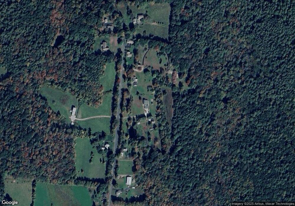
Map
Nearby Homes
- 74 Moulton Hill Rd
- 70 Moulton Hill Rd
- 68 Moulton Hill Rd
- 86 Moulton Hill Rd
- 85 Moulton Hill Rd
- 79 Moulton Hill Rd
- 63 Moulton Hill Rd
- 94 Moulton Hill Rd
- 62 Moulton Hill Rd
- 97 Moulton Hill Rd
- 56 Moulton Hill Rd
- 98 Moulton Hill Rd
- 55 Moulton Hill Rd
- 52 Moulton Hill Rd
- 102 Moulton Hill Rd
- 49 Moulton Hill Rd
- 48 Moulton Hill Rd
- 107 Moulton Hill Rd
- 47 Moulton Hill Rd
- 112 Moulton Hill Rd