78 Mountain Laurel Dr Wethersfield, CT 06109
Estimated Value: $174,000 - $192,000
2
Beds
1
Bath
845
Sq Ft
$214/Sq Ft
Est. Value
About This Home
This home is located at 78 Mountain Laurel Dr, Wethersfield, CT 06109 and is currently estimated at $181,014, approximately $214 per square foot. 78 Mountain Laurel Dr is a home located in Hartford County with nearby schools including Alfred W. Hanmer School, Silas Deane Middle School, and Wethersfield High School.
Ownership History
Date
Name
Owned For
Owner Type
Purchase Details
Closed on
Jan 3, 2000
Sold by
Est Pereira John D and Cabral Carla
Bought by
Pulawski Maria
Current Estimated Value
Purchase Details
Closed on
Nov 1, 1996
Sold by
Murray Thomas A and Murray Phyllis S
Bought by
Pereira John L
Home Financials for this Owner
Home Financials are based on the most recent Mortgage that was taken out on this home.
Original Mortgage
$32,900
Interest Rate
8.07%
Mortgage Type
Unknown
Create a Home Valuation Report for This Property
The Home Valuation Report is an in-depth analysis detailing your home's value as well as a comparison with similar homes in the area
Home Values in the Area
Average Home Value in this Area
Purchase History
| Date | Buyer | Sale Price | Title Company |
|---|---|---|---|
| Pulawski Maria | $42,500 | -- | |
| Pereira John L | $35,000 | -- |
Source: Public Records
Mortgage History
| Date | Status | Borrower | Loan Amount |
|---|---|---|---|
| Previous Owner | Pereira John L | $32,900 |
Source: Public Records
Tax History
| Year | Tax Paid | Tax Assessment Tax Assessment Total Assessment is a certain percentage of the fair market value that is determined by local assessors to be the total taxable value of land and additions on the property. | Land | Improvement |
|---|---|---|---|---|
| 2025 | $3,392 | $82,280 | $0 | $82,280 |
| 2024 | $2,413 | $55,820 | $0 | $55,820 |
| 2023 | $2,332 | $55,820 | $0 | $55,820 |
| 2022 | $2,293 | $55,820 | $0 | $55,820 |
| 2021 | $2,270 | $55,820 | $0 | $55,820 |
| 2020 | $2,271 | $55,820 | $0 | $55,820 |
| 2019 | $2,274 | $55,820 | $0 | $55,820 |
| 2018 | $2,524 | $61,900 | $0 | $61,900 |
| 2017 | $2,462 | $61,900 | $0 | $61,900 |
| 2016 | $2,386 | $61,900 | $0 | $61,900 |
| 2015 | $2,364 | $61,900 | $0 | $61,900 |
| 2014 | $2,274 | $61,900 | $0 | $61,900 |
Source: Public Records
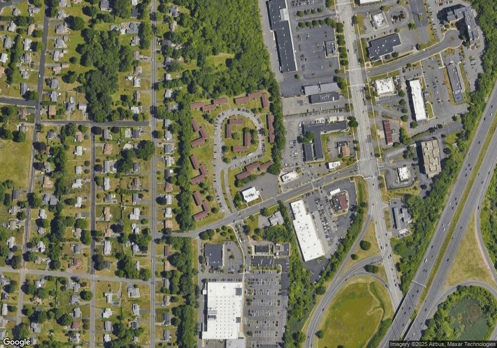
Map
Nearby Homes
- 143 Valley Crest Dr
- 72 Concord Dr
- 37 Two Stone Dr
- 50 Concord Dr Unit 50
- 13 Robbins Ln Unit B
- 1610 Silas Deane Hwy
- 195 Middletown Ave
- 88 Highland St
- 38 Wheeler Rd
- 59 Chapin Ave
- 33 Golf Rd
- 268 Fox Hill Rd
- 119 Coleman Rd
- 325 Fox Hill Rd
- 108 Chamberlain Rd
- 186 Hang Dog Ln
- 35 Stillwold Dr
- 0 Collier Rd
- 101 Collier Rd
- 33 Olney Rd
- 75 Mountain Laurel Dr
- 77 Mountain Laurel Dr
- 79 Mountain Laurel Dr
- 79 Mountain Laurel Dr Unit 79
- 76 Mountain Laurel Dr
- 81 Mountain Laurel Dr
- 83 Mountain Laurel Dr
- 83 Mountain Laurel Dr Unit 83
- 74 Mountain Laurel Dr
- 86 Mountain Laurel Dr
- 92 Mountain Laurel Dr
- 90 Mountain Laurel Dr
- 87 Mountain Laurel Dr
- 80 Mountain Laurel Dr
- 72 Mountain Laurel Dr
- 69 Mountain Laurel Dr
- 67 Mountain Laurel Dr
- 66 Mountain Laurel Dr
- 64 Mountain Laurel Dr
- 62 Mountain Laurel Dr